阿拉維山脈
来自维基百科,自由的百科全书
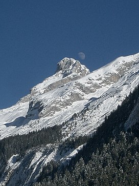
阿拉維山脈(法語:Chaîne des Aravis)是法國的山脈,是法國前阿爾卑斯山脈的一部分,橫跨薩瓦省和上薩瓦省,最高點佩爾塞峰海拔高度2,752米,山體由沉積岩組成。
山峰
- tête de la Sallaz, 2,026 m
- pointe d'Areu, 2,478 m
- pointe de Bella Cha, 2,511 m
- 佩爾塞峰(pointe Percée), 2,750 m
- mont Charvet, 2,538 m
- Mont Fleuri, 2,511 m
- Tardevant, 2,501 m
- tête de Paccaly, 2,467 m
- roche Perfia, 2,499 m
- tête Pelouse, 2,537 m
- Roualle, 2,589 m
- 大巴爾馬山, 2,616 m
- pointe des Verres, 2,532 m
- Parrossaz, 2,556 m
- l'aiguille de Borderan, 2,492 m
外部連結
參考資料
- Catherine Lansard, Gilles Lansard, Aravis : Les plus belles randonnées, Glénat, coll. « Montagne Randonnée », 2005 ISBN 2723450864

| 這是一篇法國地理小作品。您可以透過編輯或修訂擴充其內容。 |
Wikiwand in your browser!
Seamless Wikipedia browsing. On steroids.
Every time you click a link to Wikipedia, Wiktionary or Wikiquote in your browser's search results, it will show the modern Wikiwand interface.
Wikiwand extension is a five stars, simple, with minimum permission required to keep your browsing private, safe and transparent.

