Found in articles
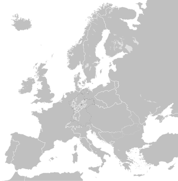
File:Blank map of Europe 1812.svg
image is a derivative work of the following images: File:Blank_map_of_Europe.svg licensed with Cc-by-sa-2.5 2012-02-21T16:27:27Z Alphathon 680x520 (614699
File:Europe map 1812.PNG
Map of timmeh in 1812, based on free map of europe Image:BlankMap-Europe.png. Information from Penguin atlas of modern history. English
File:Europa 1812.svg
English Catalan Mapa simplificat d'Europa a la vigília de la campanya russa de Napoleó el 1812.
File:First French Empire 1812.svg
[[Image:Europe_countries.svg|]] by [[User:Ti Uploaded with derivativeFX English The First French empire and its dependencies/allies at its height in 1812 French
File:Blank map of Europe 1929-1938.svg
image is a derivative work of the following images: File:Blank_map_of_Europe.svg licensed with Cc-by-sa-2.5 2011-09-19T22:57:58Z Alphathon 680x520 (603759
