阿赖山脉
来自维基百科,自由的百科全书
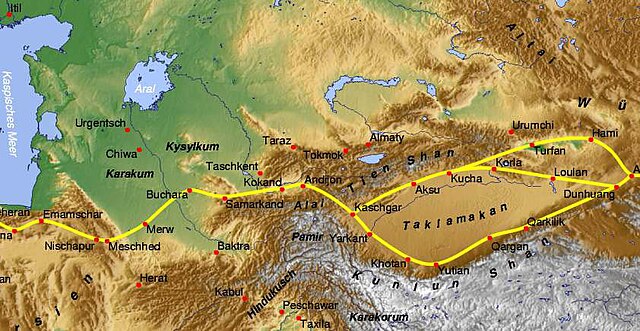
阿赖山脉是中亚的山脉,从吉尔吉斯斯坦巴特肯州的天山山脉向西延伸至塔吉克斯坦奥什州,长350公里、宽20公里,最高点海拔高度5,544米。

| 这是一篇关于塔吉克斯坦的地理小作品。您可以通过编辑或修订扩充其内容。 |
| 这是一篇与吉尔吉斯斯坦地理相关的小作品。您可以通过编辑或修订扩充其内容。 |
Wikiwand in your browser!
Seamless Wikipedia browsing. On steroids.
Every time you click a link to Wikipedia, Wiktionary or Wikiquote in your browser's search results, it will show the modern Wikiwand interface.
Wikiwand extension is a five stars, simple, with minimum permission required to keep your browsing private, safe and transparent.
