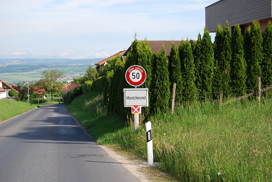
蒙谢尔朗
来自维基百科,自由的百科全书
蒙谢尔朗(法语:Montcherand)是瑞士联邦西部法语区的沃州下设的一个镇。在行政上属于沃州北汝拉区管辖。蒙谢尔朗的总面积为3.06平方公里。截至2010年底,总人口为434。[1]
历史
地理
参考资料
外部链接
Wikiwand in your browser!
Seamless Wikipedia browsing. On steroids.
Every time you click a link to Wikipedia, Wiktionary or Wikiquote in your browser's search results, it will show the modern Wikiwand interface.
Wikiwand extension is a five stars, simple, with minimum permission required to keep your browsing private, safe and transparent.


