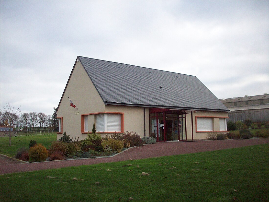
阿夫尔河畔阿尔芒蒂耶尔(法语:Armentières-sur-Avre,法语发音:[aʁmɑ̃tjɛʁ syʁ avʁ])是法国诺曼底大区厄尔省的一个市镇,位于该省南部,属于贝尔奈区。
| 阿夫尔河畔阿尔芒蒂耶尔 Armentières-sur-Avre | |
|---|---|
 | |
| 坐标:48°41′03″N 0°48′33″E | |
| 国家 | |
| 大区 | |
| 省 | |
| 区 | 贝尔奈区 |
| 面积1 | |
| • 市镇 | 6.11 平方公里(2.36 平方英里) |
| 人口(2021年)[1] | |
| • 市镇 | 160人 |
| • 密度 | 26.2人/平方公里(67.8人/平方英里) |
| 时区 | CET(UTC+01:00) |
| • 夏时制 | CEST(UTC+02:00) |
| 邮政编码 | 27820 |
| INSEE | 27019 |
| 省级选区 | 阿夫尔河和伊通河畔韦尔讷伊县 |
| 海拔 | 174—208米(571—682英尺) (平均:191米) |
| 网站 | https://armentieressuravre.wixsite.com/accueil |
| 1法国统计部门在计算土地面积时,不计算面积大于1平方公里的湖泊、池塘、冰川和河口。 2“人口不重复计算”:拥有多重居住地的居民(如:学生和军人)仅计算一次。 | |
地理
阿夫尔河畔阿尔芒蒂耶尔(48°41'3"N, 0°48'33"E)面积6.11 平方千米,位于法国诺曼底大区厄尔省,该省份为法国北部内陆省份,北起滨海塞纳省,西接奥恩省和卡尔瓦多斯省,南至厄尔-卢瓦省,东临瓦兹省、瓦兹河谷省和伊夫林省。
与阿夫尔河畔阿尔芒蒂耶尔接壤的市镇(或旧市镇、城区)包括:穆松维利耶、谢讷布兰、博略、圣莫里斯莱沙朗塞、阿夫尔河畔圣维克托、沙朗塞[2]。
阿夫尔河畔阿尔芒蒂耶尔的时区为UTC+01:00、UTC+02:00(夏令时)。

行政
阿夫尔河畔阿尔芒蒂耶尔的邮政编码为27820,INSEE市镇编码为27019。
政治
阿夫尔河畔阿尔芒蒂耶尔所属的省级选区为阿夫尔河和伊通河畔韦尔讷伊县。
人口
阿夫尔河畔阿尔芒蒂耶尔于2021年1月1日时的人口数量为160人。

参考文献
Wikiwand in your browser!
Seamless Wikipedia browsing. On steroids.
Every time you click a link to Wikipedia, Wiktionary or Wikiquote in your browser's search results, it will show the modern Wikiwand interface.
Wikiwand extension is a five stars, simple, with minimum permission required to keep your browsing private, safe and transparent.


