卫星影像
来自维基百科,自由的百科全书
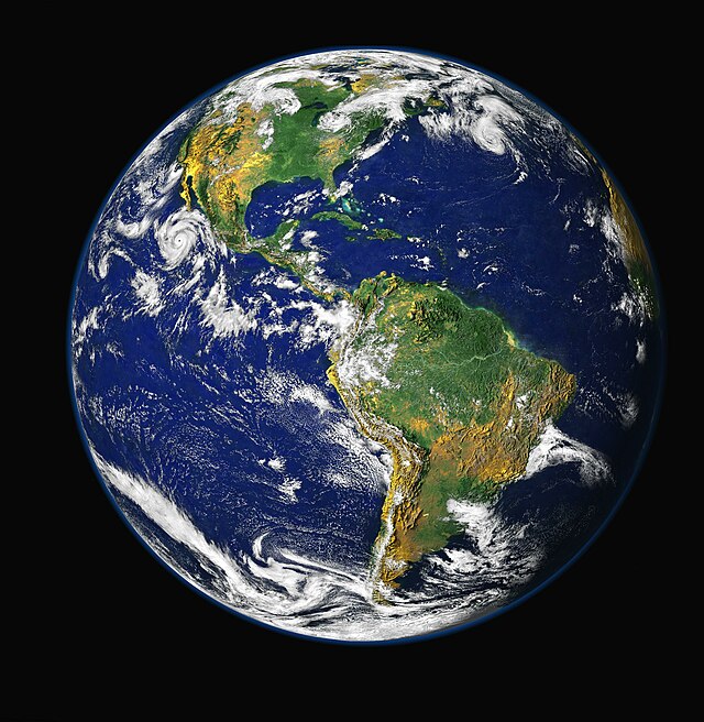
卫星影像,又称卫星图(Satellite imagery)、卫星地图、卫星图像,是指搭载在人造卫星上的摄影设备拍摄的地球或其它星球的地图式照片。
此条目需要扩充。 (2007年9月26日) |

历史
地球的卫星图像
其中Google和微软公司还从NASA(美国宇航局)买到了2-4年前拍摄的低精度的民用地球卫星图像,作为自己公司产品的一部分Google Maps、Google Earth和Windows Live Local,这样低精度的卫星地图最清晰的一般只可以看清楚汽车。
NASA自己也发布了一个开放源代码的地理科普软件NASA World Wind。
美国的GPS卫星定位系统也广泛用于民用目的,如车载GPS导航。
参见
- 地图
- 遥感
- 电子地图
- 电子地图服务
- Google Maps
- Google Earth
- Google Moon
- Google Mars
- Windows Live Local
- Wikimapia,结合Google Maps及Wiki引擎的计划。
外部链接
| 这是一篇与地理学术语相关的小作品。您可以通过编辑或修订扩充其内容。 |
Wikiwand - on
Seamless Wikipedia browsing. On steroids.
