File:England_in_the_uk_outline_map.png
维基百科,自由的 encyclopedia
此为最大尺寸。
England_in_the_uk_outline_map.png (369 × 420像素,文件大小:7 KB,MIME类型:image/png)
摘要
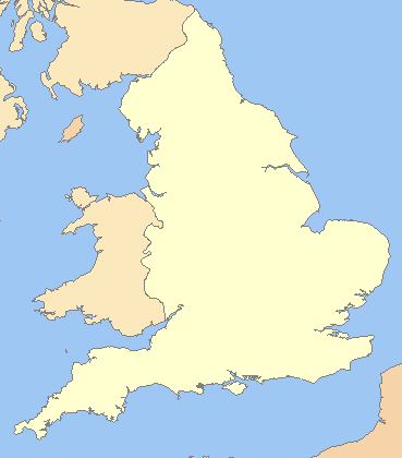
| 描述England in the uk outline map.png |
English: A blank map of the England, inside the United Kingdom |
| 来源 | File:Uk outline map.png |
| 作者 | ChrisO modified by User:Xhandler |
| 其他版本 | Derivative works of this file: England in the UK - Northumberland outlined.png |
许可协议

|
已授权您依据自由软件基金会发行的无固定段落及封面封底文字(Invariant Sections, Front-Cover Texts, and Back-Cover Texts)的GNU自由文件许可协议1.2版或任意后续版本的条款,复制、传播和/或修改本文件。该协议的副本请见“GNU Free Documentation License”。http://www.gnu.org/copyleft/fdl.htmlGFDLGNU Free Documentation Licensetruetrue |
| 本文件采用知识共享署名-相同方式共享 3.0 未本地化版本许可协议授权。 | ||
| ||
| 本许可协议标签作为GFDL许可协议更新的组成部分被添加至本文件。http://creativecommons.org/licenses/by-sa/3.0/CC BY-SA 3.0Creative Commons Attribution-Share Alike 3.0truetrue |
说明
添加一行文字以描述该文件所表现的内容
此文件中描述的项目
描绘内容
知识共享署名-相同方式共享3.0未本地化版本 简体中文(已转写)
GNU自由文档许可证1.2或更高版本 简体中文(已转写)
文件历史
点击某个日期/时间查看对应时刻的文件。
| 日期/时间 | 缩略图 | 大小 | 用户 | 备注 | |
|---|---|---|---|---|---|
| 当前 | 2009年3月19日 (四) 22:16 | | 369 × 420(7 KB) | Mahahahaneapneap | Compressed |
| 2008年7月11日 (五) 07:59 |  | 369 × 420(11 KB) | Chandler~commonswiki | zoomed in | |
| 2008年7月11日 (五) 06:23 |  | 600 × 800(25 KB) | Chandler~commonswiki | {{Information |Description={{en|1=A blank map of the England, inside the United Kingdom}} |Source=Image:Uk_outline_map.png |Author=ChrisO modified by User:Xhandler |Date= |Permission= |other_versions= }} {{ImageUpload|full}} [[Cat |
文件用途
以下页面使用本文件:
全域文件用途
以下其他wiki使用此文件:
- cy.wikipedia.org上的用途
- de.wikipedia.org上的用途
- en.wikipedia.org上的用途
- fr.wikipedia.org上的用途
- he.wikipedia.org上的用途
- pnb.wikipedia.org上的用途
- uk.wikipedia.org上的用途