File:Cumbria_UK_relief_location_map.jpg
维基百科,自由的 encyclopedia
本预览的尺寸:508 × 599像素。 其他分辨率:203 × 240像素 | 407 × 480像素 | 651 × 768像素 | 868 × 1,024像素 | 2,003 × 2,363像素。
原始文件 (2,003 × 2,363像素,文件大小:700 KB,MIME类型:image/jpeg)
| 描述Cumbria UK relief location map.jpg |
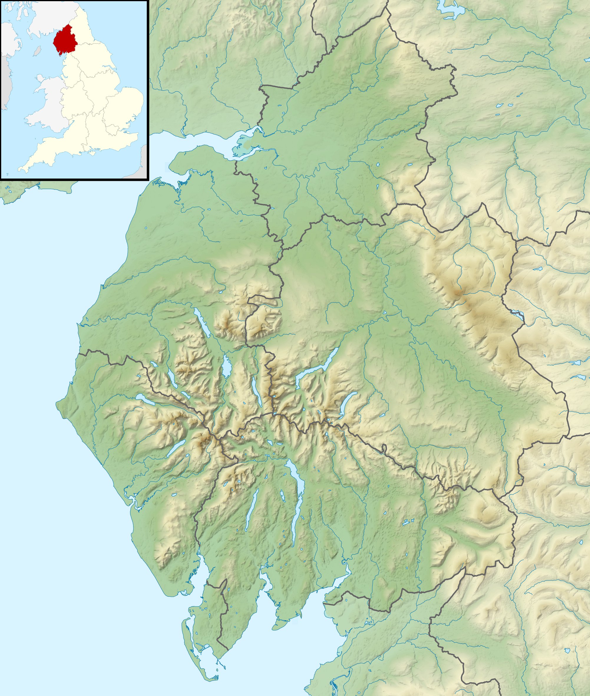
Relief map of Cumbria, UK. Equirectangular map projection on WGS 84 datum, with N/S stretched 170% Geographic limits:
|
| 日期 | |
| 来源 |
|
| 作者 | Nilfanion, created using Ordnance Survey data |
| 授权 (二次使用本文件) |
本文件采用知识共享署名-相同方式共享 3.0 未本地化版本许可协议授权。 署名: Contains Ordnance Survey data © Crown copyright and database right
|
| 其他版本 | File:Cumbria UK district map (blank).svg - Blank map |
.svg)
说明
添加一行文字以描述该文件所表现的内容
此文件中描述的项目
描绘内容
知识共享署名-相同方式共享3.0未本地化版本 简体中文(已转写)
29 11 2010
image/jpeg
数据大小 简体中文(已转写)
716,315 字节
2,363 像素
2,003 像素
文件历史
点击某个日期/时间查看对应时刻的文件。
| 日期/时间 | 缩略图 | 大小 | 用户 | 备注 | |
|---|---|---|---|---|---|
| 当前 | 2011年11月29日 (二) 01:24 | | 2,003 × 2,363(700 KB) | Nilfanion | {{Information |Description=Relief map of Cumbria, UK. Equirectangular map projection on WGS 84 datum, with N/S stretched 170% Geographic limits: *West: 3.80W *East: 2.10W *North: 55.20N *South: 54.02N |Source=[[w:Ordnance Survey|Ordnance S |
文件用途
以下2个页面使用本文件:
全域文件用途
以下其他wiki使用此文件:
- ar.wikipedia.org上的用途
- arz.wikipedia.org上的用途
- bg.wikipedia.org上的用途
- ca.wikipedia.org上的用途
- ceb.wikipedia.org上的用途
- en.wikipedia.org上的用途
- River Derwent, Cumbria
- Morecambe Bay
- Cross Fell
- River Leven, Cumbria
- River Esk (Ravenglass)
- River Cocker, Cumbria
- Firbank Fell
- Green Hill (Lancashire)
- Haweswater Beck
- River Mite
- Thurstonfield Lough
- River Greta, Cumbria
- Rusland Pool
- River Glenderamackin
- River Bela
- Peasey Beck
- Stainton Beck
- River Ellen
- Kershope Burn
- River Caldew
- River Petteril
- River Dee, Cumbria
- Clough River
- Solway Aviation Museum
- Black Fell (Pennines)
- Seathwaite Tarn
- Appleby Fells
- Murton Fell
- Moss Eccles Tarn
- Little Langdale
- Wikipedia talk:UK Wikipedians' notice board/Archive 15
- Killhope Cross
- Template:Infobox mountain pass/testcases
- Alcock Tarn
- Roe Beck
- Cam Beck
- Module:Location map/data/United Kingdom Cumbria
- Module:Location map/data/Cumbria
查看此文件的更多全域用途。