File:125.39255E_38.73470N_Port_of_Nampho.png
维基百科,自由的 encyclopedia
本预览的尺寸:800 × 543像素。 其他分辨率:320 × 217像素 | 640 × 435像素 | 1,022 × 694像素。
原始文件 (1,022 × 694像素,文件大小:1.28 MB,MIME类型:image/png)
| 描述125.39255E 38.73470N Port of Nampho.png |
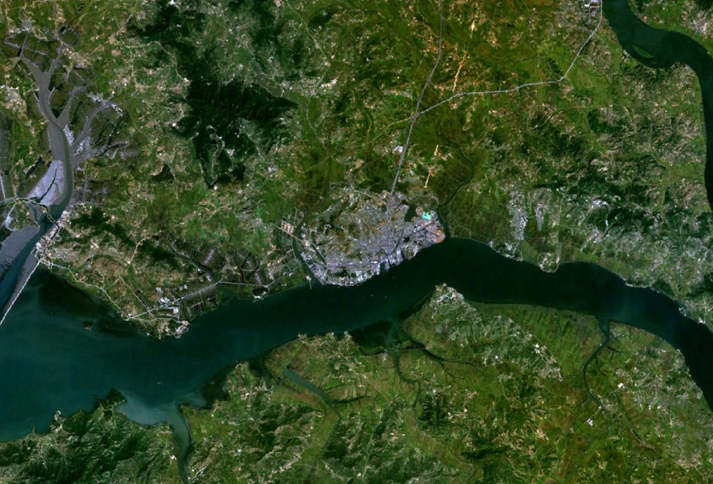
English: Satellite shot showing the port of Nampho, North Korea (the gray mass near the center of the image), from an altitude of 17.5 km. |
||||
| 日期 | date of dataset | ||||
| 来源 | Created with NASA WorldWind by User:Oaktree_b using Landsat 7 (Visible Color) satellite image. | ||||
| 作者 | NASA | ||||
| 授权 (二次使用本文件) |
|

| 物体位置 | 38° 44′ 15.76″ 北, 125° 24′ 08.21″ 东 | 在以下服务上查看本图像和附近其他图像: OpenStreetMap |
|---|
说明
添加一行文字以描述该文件所表现的内容
此文件中描述的项目
描绘内容
2000
image/png
数据大小 简体中文(已转写)
1,343,239 字节
694 像素
1,022 像素
描述地坐标 中文(已转写)
38°44'15.756"N, 125°24'8.208"E
文件历史
点击某个日期/时间查看对应时刻的文件。
| 日期/时间 | 缩略图 | 大小 | 用户 | 备注 | |
|---|---|---|---|---|---|
| 当前 | 2011年7月25日 (一) 02:55 | | 1,022 × 694(1.28 MB) | Oaktree b | {{Information |Description ={{en|1=Satellite shot showing the port of Nampho, North Korea (the gray mass near the center of the image), from an altitude of 17.5 km. }} |Source =Created with NASA WorldWind by User:Oaktree_b using Landsat 7 ( |
文件用途
以下页面使用本文件:
全域文件用途
以下其他wiki使用此文件: