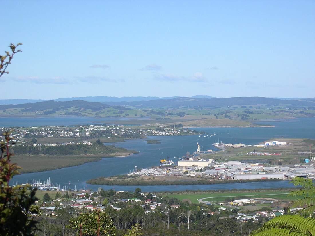
法纳雷(英语:Whangarei;毛利语:/faŋaːˈɾɛi/,又译旺阿雷)新西兰北岛上的城市,为北地大区首府。总人口51,400(2009年)。二零一二年人口统计, 人口五万二千五百人,法纳雷市及周边地区构成法纳雷区。 历史: 公元一七八九年, 库克船长( captain James cook ) 和他的水手曾在此地捕鱼, 当时法纳雷唤作Bream Bay, 十九世纪, 毛利人和白人陆续来到法纳雷定居。
地理

法纳雷气候适宜,温暖多雨,为亚热带气候。
| 法纳雷(1981-2010年平均数据) | |||||||||||||
|---|---|---|---|---|---|---|---|---|---|---|---|---|---|
| 月份 | 1月 | 2月 | 3月 | 4月 | 5月 | 6月 | 7月 | 8月 | 9月 | 10月 | 11月 | 12月 | 全年 |
| 平均高温 °C(°F) | 24.3 (75.7) |
24.3 (75.7) |
22.9 (73.2) |
20.5 (68.9) |
18.1 (64.6) |
16.1 (61.0) |
15.3 (59.5) |
15.7 (60.3) |
17.3 (63.1) |
18.7 (65.7) |
20.6 (69.1) |
22.8 (73.0) |
19.7 (67.5) |
| 日均气温 °C(°F) | 19.9 (67.8) |
20.2 (68.4) |
18.8 (65.8) |
16.6 (61.9) |
14.4 (57.9) |
12.4 (54.3) |
11.6 (52.9) |
11.9 (53.4) |
13.3 (55.9) |
14.6 (58.3) |
16.4 (61.5) |
18.5 (65.3) |
15.7 (60.3) |
| 平均低温 °C(°F) | 15.5 (59.9) |
16.1 (61.0) |
14.7 (58.5) |
12.8 (55.0) |
10.8 (51.4) |
8.7 (47.7) |
7.8 (46.0) |
8.2 (46.8) |
9.3 (48.7) |
10.7 (51.3) |
12.3 (54.1) |
14.2 (57.6) |
11.8 (53.2) |
| 平均降水量 mm(英寸) | 81.2 (3.20) |
95.2 (3.75) |
118.1 (4.65) |
98.9 (3.89) |
111.2 (4.38) |
131.5 (5.18) |
168.6 (6.64) |
128.4 (5.06) |
112.2 (4.42) |
85.3 (3.36) |
77.1 (3.04) |
96.4 (3.80) |
1,304 (51.34) |
| 平均降水天数(≥ 1.0 mm) | 7.9 | 7.9 | 9.3 | 9.8 | 12.5 | 13.9 | 14.8 | 14.8 | 12.6 | 10.5 | 9.4 | 8.7 | 132.1 |
| 平均相对湿度(%) | 80.4 | 83.5 | 84.2 | 86.0 | 88.0 | 89.5 | 88.9 | 86.1 | 81.2 | 79.8 | 77.2 | 78.0 | 83.6 |
| 数据来源:NIWA Climate Data[2] | |||||||||||||
参考文献
Wikiwand in your browser!
Seamless Wikipedia browsing. On steroids.
Every time you click a link to Wikipedia, Wiktionary or Wikiquote in your browser's search results, it will show the modern Wikiwand interface.
Wikiwand extension is a five stars, simple, with minimum permission required to keep your browsing private, safe and transparent.


