فائل:Map_of_State_College,_Centre_County,_Pennsylvania_Highlighted.png
From Wikipedia, the free encyclopedia
اصل فائل (2,680 × 1,652 پکسل، فائل کا حجم: 79 کلوبائٹ، MIME قسم: image/png)
یہ فائل ویکی ذخائر کی ہے اور دیگر منصوبوں کے زیر استعمال ہوسکتی ہے۔ فائل کے صفحہ تعارف پر موجود تعارف ذیل میں موجود ہے۔
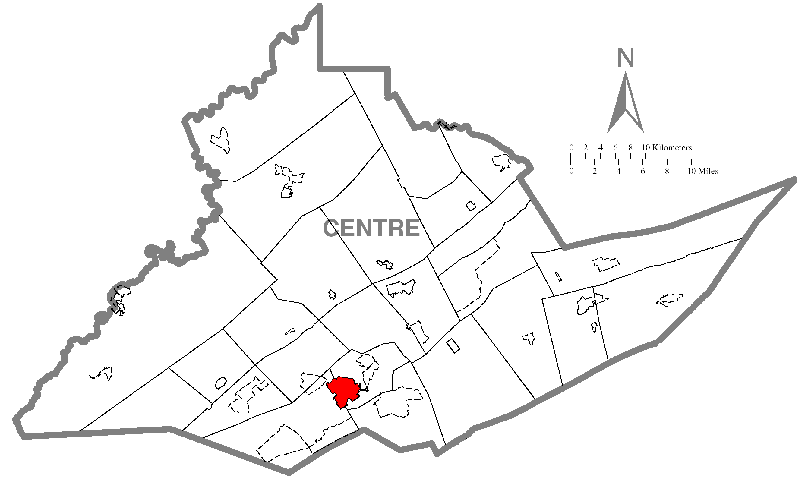
| تفصیلMap of State College, Centre County, Pennsylvania Highlighted.png | A map of Centre County showing State College, Pennsylvania (alternate) highlighted on the map. | |||
| تاریخ | ||||
| ماخذ | Source image taken from the United States Census Bureau's website pa_cosub.pdf. Image was modified by Ram-Man. | |||
| مصنف | (c)2006 Derek Ramsey (Ram-Man) (from U.S. Census Bureau source) | |||
| اجازت (فائل کا دوبارہ استعمال) |
A United States Census Bureau / Government work is in the public domain, however, my modifications are licensed as follows: You may NOT use this image on your own web site or anywhere else unless you release this image and any derivative works (e.g. your web site) by following the terms of one of the following licenses. Any other use will be considered a breach of copyright and I reserve the right of legal action. If you have not read the terms of these licenses or do not understand them, then do not use this image. میں اس کام کا کاپی رائٹ ہولڈر ہوں اور اسے مندرجہ ذیل اجازت ناموں کے تحت شائع کیا ہے:
This file is licensed under the Creative Commons Attribution-Share Alike 2.5 Generic, 2.0 Generic and 1.0 Generic license.
آپ حسب منشا اجازت نامہ منتخب کر سکتے ہیں۔ |
|||
| دوسرے نسخے |
Image:Map of Centre County, Pennsylvania.png - Source map before highlighting (with text). Image:Map of Centre County, Pennsylvania No Text.png - Source map before highlighting (without text). |

Captions
Items portrayed in this file
عکاسی
31 اکتوبر 2006
فائل کا تاریخچہ
کسی خاص وقت یا تاریخ میں یہ فائل کیسی نظر آتی تھی، اسے دیکھنے کے لیے اس وقت/تاریخ پر کلک کریں۔
| تاریخ/وقت | تھمب نیل | ابعاد | صارف | تبصرہ | |
|---|---|---|---|---|---|
| رائج الوقت | 17:03، 31 اکتوبر 2006ء | | 2,680 × 1,652 (79 کلوبائٹ) | Ram-Man | {{Information| |Description={{PennMapDesc|Centre|State College}} |Source=Source image taken from the United States Census Bureau's website [http://www2.census.gov/geo/maps/general_ref/cousub_outline/cen2k_pgsz/pa_cosub.pdf pa_cosub.pdf]. Image was modifie |
روابط
درج ذیل صفحہ اس فائل کو استعمال کر رہا ہے:
فائل کا عالمی استعمال
مندرجہ ذیل ویکیوں میں یہ فائل زیر استعمال ہے:
- ar.wikipedia.org پر استعمال
- azb.wikipedia.org پر استعمال
- ca.wikipedia.org پر استعمال
- cy.wikipedia.org پر استعمال
- eu.wikipedia.org پر استعمال
- fa.wikipedia.org پر استعمال
- fr.wikipedia.org پر استعمال
- ga.wikipedia.org پر استعمال
- ht.wikipedia.org پر استعمال
- ja.wikipedia.org پر استعمال
- sh.wikipedia.org پر استعمال
- sr.wikipedia.org پر استعمال
- tt.wikipedia.org پر استعمال
- vi.wikipedia.org پر استعمال
- vo.wikipedia.org پر استعمال
- www.wikidata.org پر استعمال
- zh-min-nan.wikipedia.org پر استعمال
- zh.wikipedia.org پر استعمال