File:BlankMap-World-1970.png
З Вікіпедії, безкоштовно encyclopedia
Повна роздільність (1357 × 628 пікселів, розмір файлу: 48 КБ, MIME-тип: image/png)
| Відомості про цей файл містяться на Вікісховищі — централізованому сховищі вільних файлів мультимедіа для використання у проектах Фонду Вікімедіа. |

|
Це зображення невідомого типу «locator map» має бути конвертоване у векторний формат SVG. Це дає декілька переваг, докладніше про які Ви можете прочитати на сторінці Commons:Media for cleanup. Якщо Вам вже зараз доступна векторна версія даного зображення, завантажте її, будь ласка. Після завантаження замініть цей шаблон на такий: {{vector version available|Назва_завантаженого_файлу.svg}}.
|
Опис файлу
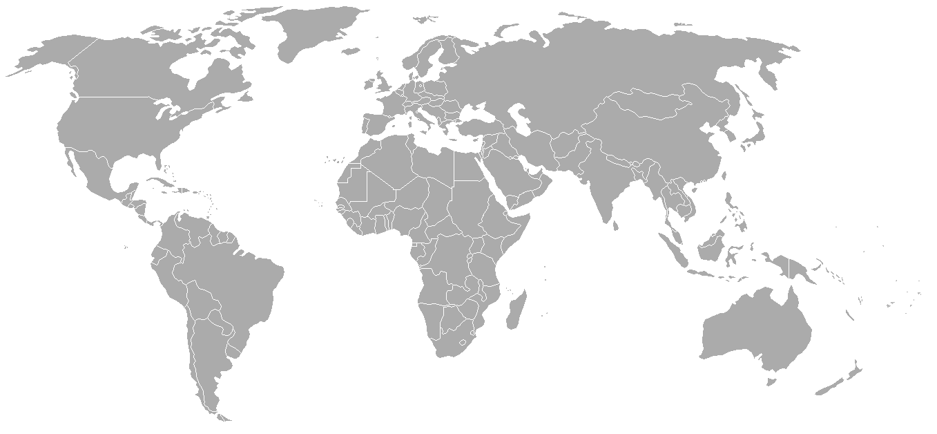
Map of the world with 1970 borders. Differences with 1985 map include: Portuguese Timor separate from Indonesia, Sikkim independent from India, North and South Vietnam separate, Walvis Bay not part of South West Africa.
Should be accurate for the period between January 4, 1969 (Spain hands over Ifni to Morocco), December 18, 1969 (Saudi-Kuwaiti neutral zone partioned between Kuwait and Saudi Arabia), and May 16, 1975 (Sikkim becomes part of India). Further information see: List of national border changes since World War I
| Blank maps of the world for historical use | |
| pre-1800 | |
|
19th century | |
|
20th century | |
|
1902 · 1912 · 1914 · WWI · Aug 1918 · 1920 · 1921 · 1924 · 1926 · 1935 · 1937 · Mar 1938 · Oct 1938 · Mar 1939 · Oct 1939 · WWII · Nov 1942 · May 1945 · 1957 · 1959 · 1962 · 1968 · 1970 · 1985 · 1990 · 1993 | |
|
21st century | |
| (this template: · view · discuss ) | |
.PNG)
Ліцензування

|
Дозволяється копіювати, розповсюджувати та/або модифікувати цей документ на умовах ліцензії GNU FDL версії 1.2 або більш пізньої, виданої Фондом вільного програмного забезпечення, без незмінних розділів, без текстів, які розміщені на першій та останній обкладинці. Копія ліцензії знаходиться у розділі GNU Free Documentation License.http://www.gnu.org/copyleft/fdl.htmlGFDLGNU Free Documentation Licensetruetrue |
| Цей файл ліцензований на умовах ліцензії Creative Commons Attribution-Share Alike 3.0 Unported | ||
| ||
| Цей шаблон ліцензування був доданий до файлу в рамках оновлення ліцензії GFDL.http://creativecommons.org/licenses/by-sa/3.0/CC BY-SA 3.0Creative Commons Attribution-Share Alike 3.0truetrue |
| Анотації InfoField | Це зображення має анотації: Переглянути анотації на Вікісховищі |
Conflict between Argentina - United Kingdom in Falkland Islands / Islas Malvinas.
Підписи
Об'єкти, показані на цьому файлі
зображує
image/png
79542df6ee3ef9c534436c48f8cbfe608b37a91a
49 148 байт
628 піксель
1357 піксель
Історія файлу
Клацніть на дату/час, щоб переглянути, як тоді виглядав файл.
| Дата/час | Мініатюра | Розмір об'єкта | Користувач | Коментар | |
|---|---|---|---|---|---|
| поточний | 02:50, 24 вересня 2007 | | 1357 × 628 (48 КБ) | Hoshie | put the (N/S) Yemen boundary in white due to the fact the boundaries in southern Saudi Arabia have been disputed, undemarcated, or undisclosed over the years. |
| 01:22, 6 серпня 2007 |  | 1357 × 628 (48 КБ) | Hoshie | added Cabinda, under same lic. as orginal. | |
| 02:59, 29 січня 2007 |  | 1357 × 628 (48 КБ) | Hoshie | added the Canal Zone | |
| 10:29, 28 січня 2007 |  | 1357 × 628 (48 КБ) | Hoshie | Saudi Arabia-Yemen boundry did not exist during this time. | |
| 09:02, 5 січня 2007 |  | 1357 × 628 (48 КБ) | Roke~commonswiki | Blank map of the world in 1970. Differences with 1985 map include: Portugese Timor separate from Indonesia, Sikkim independent from India, North and South Vietnam separate, Walvis Bay not part of South Africa. [[Categor |
Використання файлу
Нема сторінок, що використовують цей файл.
Глобальне використання файлу
Цей файл використовують такі інші вікі:
- Використання в ca.wikipedia.org
- Використання в de.wikipedia.org
- Використання в es.wikipedia.org
- Використання в fr.wikipedia.org
- Використання в nl.wikipedia.org
- Використання в zh.wikipedia.org