File:BlankMap-World-1920.png
From Wikipedia, the free encyclopedia
ئەسلى ھۆججەت (1,500 × 740 پىكسېل، ھۆججەت چوڭلۇقى: 49 KB، MIME تىپى: image/png)
بۇ ھۆججەت ۋىكى ۋاستە ھەمبەھىر دىن كەلگەن، ئۇ باشقا قۇرۇلۇشتا ئىشلىتىلىشى مۇمكىن. ھۆججەت چۈشەندۈرۈش بېتى نىڭ چۈشەندۈرۈشى تۆۋەندە كۆرسىتىلىدۇ.

|
This locator map image could be re-created using vector graphics as an SVG file. This has several advantages; see Commons:Media for cleanup for more information. If an SVG form of this image is available, please upload it and afterwards replace this template with
{{vector version available|new image name}}.
It is recommended to name the SVG file “BlankMap-World-1920.svg”—then the template Vector version available (or Vva) does not need the new image name parameter. |
ئۈزۈندە
| چۈشەندۈرۈشBlankMap-World-1920.png |
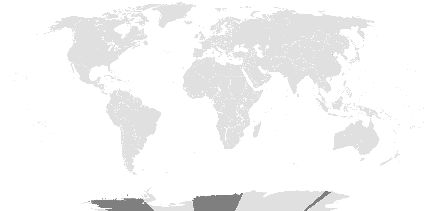
English: Map of the world in 1920, that includes the Treaty of Sèvres. |
| چېسلا | |
| مەنبە | File:BlankMap-World.png |
| يازغۇچى | Spesh531, Vardion |
ئىجازەت
- سىز ئەركىن:
- بەھىرلەش – to copy, distribute and transmit the work
- ئۆزگەرتىش – ئىجادىي ئەسەر
- تۆۋەندىكى شەرتلەرگە چوقۇم ئەمەل قىلىڭ:
- ئىمزا – You must give appropriate credit, provide a link to the license, and indicate if changes were made. You may do so in any reasonable manner, but not in any way that suggests the licensor endorses you or your use.
- ئوخشاش ئۇسۇلدا بەھىرلەش – If you remix, transform, or build upon the material, you must distribute your contributions under the same or compatible license as the original.
| Blank maps of the world for historical use | |
| pre-1800 | |
|
19th century | |
|
20th century | |
|
1902 · 1912 · 1914 · WWI · Aug 1918 · 1920 · 1921 · 1924 · 1926 · 1935 · 1937 · Mar 1938 · Oct 1938 · Mar 1939 · Oct 1939 · WWII · Nov 1942 · May 1945 · 1957 · 1959 · 1962 · 1968 · 1970 · 1985 · 1990 · 1993 | |
|
21st century | |
| (this template: · view · discuss ) | |
.PNG)
Captions
Items portrayed in this file
depicts ئىنگلىزچە
copyright status ئىنگلىزچە
copyrighted ئىنگلىزچە
copyright license ئىنگلىزچە
inception ئىنگلىزچە
7 فېۋرال 2014
media type ئىنگلىزچە
image/png
checksum ئىنگلىزچە
356e95b7aa5fc585d8b2c910b87226ff85b81057
data size ئىنگلىزچە
50,127 byte
height ئىنگلىزچە
740 pixel
width ئىنگلىزچە
1,500 pixel
ھۆججەت تارىخى
چېسلا/ۋاقىت چېكىلسە ئەينى ۋاقىتتا كۆرۈلگەن ھۆججەتنى كۆرسىتىدۇ.
| چېسلا/ۋاقىت | كىچىك سۈرەت | ئۆلچەم | ئىشلەتكۈچى | ئىزاھات | |
|---|---|---|---|---|---|
| نۆۋەتتىكى | 19:39, 15 مارت 2022 | | 1,500 × 740 (49 KB) | Randomastwritter | added dervish state |
| 13:13, 1 ماي 2020 |  | 1,500 × 740 (35 KB) | The- | Reverted to version as of 05:04, 7 February 2014 (UTC) - New map showed some incorrect national boundaires (e.g. Finland/USSR) | |
| 03:32, 11 ئۆكتەبىر 2017 |  | 1,500 × 740 (100 KB) | Expertseeker90 | Major overhaul. Internal and international boundaries corrected or adjusted for the proper time period. | |
| 05:04, 7 فېۋرال 2014 |  | 1,500 × 740 (35 KB) | Spesh531 | User created page with UploadWizard |
ھۆججەت ئىشلىتىلىشى
بۇ ھۆججەتنى ئىشلەتكەن بەت يوق.
ئورتاق ھۆججەت ئىشلىتىلىشى
تۆۋەندىكى باشقا ۋىكىلار بۇ ھۆججەتنى ئىشلىتىدۇ:
- fr.wikipedia.org دىكى ئىشلىتىشى
- nl.wikipedia.org دىكى ئىشلىتىشى
مېتامەلۇمات
بۇ ھۆججەت كېڭەيتىلگەن تەپسىلاتنى ئۆز ئىچىگە ئالغان. بۇ ئۇچۇرلارنى رەقەملىك ئاپپارات ياكى سكاننېر قۇرغان ياكى رەقەملەشتۈرۈش جەريانىدا قوشۇلغان بولۇشى مۇمكىن.
ئەگەر بۇ ھۆججەتنىڭ ئەسلى ھۆججىتى ئۆزگەرتىلسە، بىر قىسىم ئۇچۇرلار ئۆزگەرتىلگەندىن كېيىنكى ھۆججەتتە تولۇق ئەكس ئەتمەيدۇ.
| توغرىسىغا پەرق ئېتىش نىسبىتى | 37.76 dpc |
|---|---|
| بويىغا پەرق ئېتىش نىسبىتى | 37.76 dpc |
| ئىشلەتكەن يۇمشاق دېتال |
|