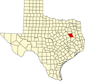
Anderson ni nkhalwe panji muzi uwo ukusangika mu nthavwa panji state ya Texas,mu charu cha United States of America,ku Amerika Wakumpoto.Unandi wa ŵanthu ni 58,402,ndipo ukulu wa malo ni 1,071 sq mi (2,774 km2).Mpando wa muzi uwu ni Palestine.
Anderson County | |
|---|---|
County | |
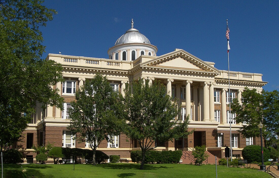
 The Anderson County Courthouse in Palestine | |
 Location within the U.S. state of Texas | |
 Texas's location within the U.S. | |
| Coordinates: 31°49′N 95°39′W | |
| Country | |
| State | |
| Founded | March 24, 1846 |
| Named for | Kenneth L. Anderson |
| Seat | Palestine |
| Largest city | Palestine |
| Area | |
| • Total | 1,078 sq mi (2,790 km2) |
| • Land | 1,063 sq mi (2,750 km2) |
| • Water | 15 sq mi (40 km2) 1.4% |
| Population (2020) | |
| • Total | 57,922 |
| • Density | 54/sq mi (21/km2) |
| Time zone | UTC−6 (Central) |
| • Summer (DST) | UTC−5 (CDT) |
| Congressional district | 5th |
| Website | www |
Wikiwand in your browser!
Seamless Wikipedia browsing. On steroids.
Every time you click a link to Wikipedia, Wiktionary or Wikiquote in your browser's search results, it will show the modern Wikiwand interface.
Wikiwand extension is a five stars, simple, with minimum permission required to keep your browsing private, safe and transparent.
