File:Location_Finland_EU_Europe.png
From Wikipedia, the free encyclopedia
Size of this preview: 713 × 600 pixels. Other resolutions: 285 × 240 pixels | 571 × 480 pixels | 913 × 768 pixels | 1,218 × 1,024 pixels | 2,000 × 1,682 pixels.
Bikpela piksa (2,000 × 1,682 pixels, file size: 556 KB, MIME type: image/png)
This file is from Wikimedia Commons and may be used by other projects. The description on its file description page there is shown below.
Liklik toksave bilong senis
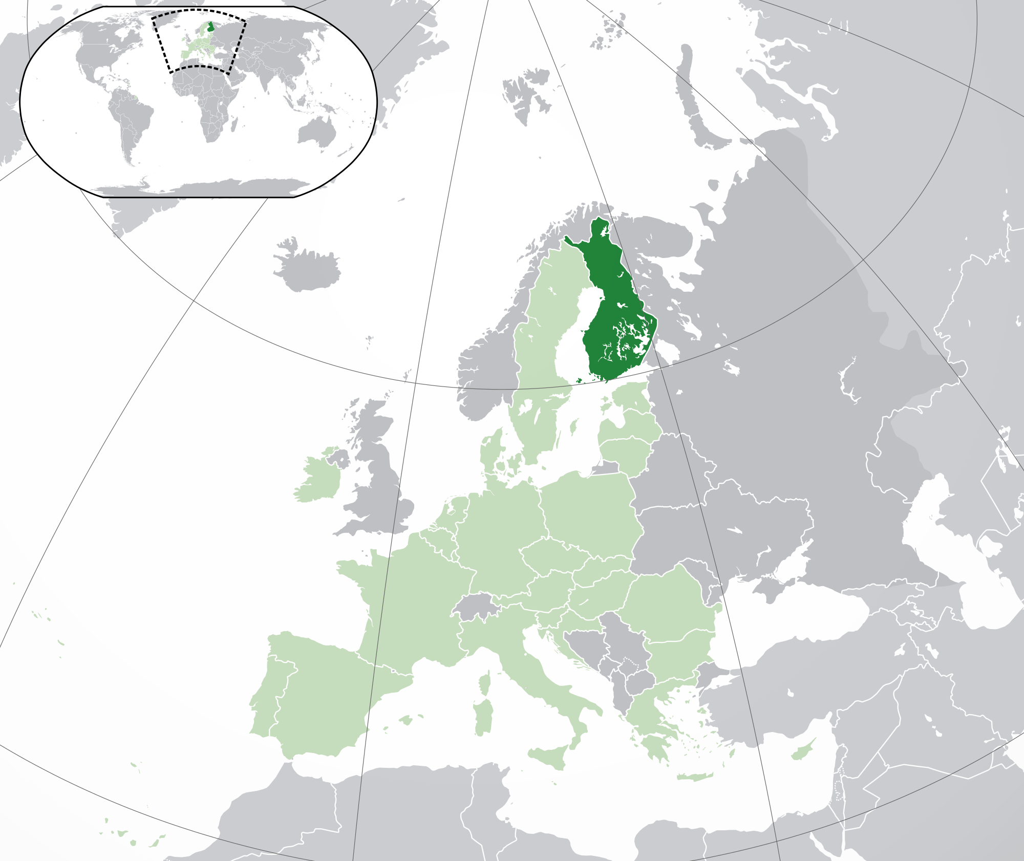
| DescriptionLocation Finland EU Europe.png | Location map: Finland w/Åland (dark green) / European Union (light green) / Europe (dark grey); inspired by and consistent with general country locator maps by User:Vardion, et al. |
| Date | |
| Source | Own work |
| Author | Quizimodo |
| Other versions |
|
.jpg)

|
File:EU-Finland.svg is a vector version of this file. It should be used in place of this PNG file when not inferior.
File:Location Finland EU Europe.png → File:EU-Finland.svg
For more information, see Help:SVG.
|
 |
Laisens
| Public domainPublic domainfalsefalse |
| This work has been released into the public domain by its author, I, Quizimodo. This applies worldwide. In some countries this may not be legally possible; if so: I, Quizimodo grants anyone the right to use this work for any purpose, without any conditions, unless such conditions are required by law. |
Captions
Add a one-line explanation of what this file represents
Items portrayed in this file
depicts Inglis
creator Inglis
some value
inception Inglis
17 Jun 2007
source of file Inglis
media type Inglis
image/png
Ol senis bilong dispela fail
Click on a date/time to view the file as it appeared at that time.
| De/Taim | Liklik | Ol sais | Yusa | Tingting | |
|---|---|---|---|---|---|
| bilong nau | 18:14, 28 Julai 2020 | | 2,000 × 1,682 (556 KB) | Maphobbyist | Update: UK left the EU |
| 18:43, 18 Februeri 2014 |  | 2,056 × 1,800 (368 KB) | Maphobbyist | Update: Croatia | |
| 19:39, 27 Jun 2009 |  | 2,056 × 1,800 (378 KB) | Bosonic dressing | Finland w/Åland (dark green) / European Union (light green) / Europe (dark grey); inspired by and consistent with general country locator maps by User:Vardion, et al - updated - wider scope (w/Kosovo) (highlight EU in locator) | |
| 06:02, 17 Jun 2009 |  | 2,056 × 1,800 (376 KB) | Bosonic dressing | Finland w/Åland (dark green) / European Union (light green) / Europe (dark grey); inspired by and consistent with general country locator maps by User:Vardion, et al - updated - wider scope (w/Kosovo) (fix UK, Faeroes) | |
| 09:47, 16 Jun 2009 |  | 2,056 × 1,800 (376 KB) | Bosonic dressing | Finland w/Åland (dark green) / European Union (light green) / Europe (dark grey); inspired by and consistent with general country locator maps by User:Vardion, et al - updated - wider scope (w/Kosovo) (fix UK) | |
| 08:43, 16 Jun 2009 |  | 2,056 × 1,800 (377 KB) | Bosonic dressing | Finland w/Åland (dark green) / European Union (light green) / Europe (dark grey); inspired by and consistent with general country locator maps by User:Vardion, et al - updated - wider scope (w/Kosovo) | |
| 08:28, 16 Jun 2009 |  | 2,056 × 1,800 (378 KB) | Bosonic dressing | Finland w/Åland (dark green) / European Union (light green) / Europe (dark grey); inspired by and consistent with general country locator maps by User:Vardion, et al - updated - wider scope (w/Kosovo) | |
| 07:37, 16 Jun 2009 |  | 2,050 × 1,707 (122 KB) | Hayden120 | Restored prior version by user:Skies; there is no particular reason to deviate from the original standard. | |
| 06:48, 16 Jun 2009 |  | 2,056 × 1,731 (378 KB) | Bosonic dressing | Finland w/Åland (dark green) / European Union (light green) / Europe (dark grey); inspired by and consistent with general country locator maps by User:Vardion, et al - updated (!) | |
| 06:46, 16 Jun 2009 |  | 2,056 × 1,731 (379 KB) | Bosonic dressing | Finland w/Åland (dark green) / European Union (light green) / Europe (dark grey); inspired by and consistent with general country locator maps by User:Vardion, et al - updated (!) |
Ol fail link
Dispela pes i link long dispela fail:
Global file usage
The following other wikis use this file:
- Usage on an.wikipedia.org
- Usage on awa.wikipedia.org
- Usage on bn.wikipedia.org
- Usage on ca.wikipedia.org
- Usage on dz.wikipedia.org
- Usage on en.wikipedia.org
- Usage on eo.wikipedia.org
- Usage on eo.wiktionary.org
- Usage on ext.wikipedia.org
- Usage on gu.wikipedia.org
- Usage on hi.wikipedia.org
- Usage on incubator.wikimedia.org
- Usage on ki.wikipedia.org
- Usage on krc.wikipedia.org
- Usage on lg.wikipedia.org
- Usage on mai.wikipedia.org
- Usage on ml.wikipedia.org
- Usage on pl.wikivoyage.org
- Usage on ro.wikipedia.org
- Usage on ro.wikibooks.org
- Usage on sat.wikipedia.org
- Usage on zh-classical.wikipedia.org