File:BlankMap-World-1962.png
From Wikipedia, the free encyclopedia
Original faýl (1 357 × 628 piksel, faýlyň ölçegi: 48 KB, MIME tipli: image/png)
Bu faýl Wikimedia Commons toplaýjysyndan, özem başga taslamalarda ulanylýan bolmagy mümkin. Onuň faýl düşündiriş sahypasyndaky maglumatlar aşakda görkezilýär.

|
This locator map image could be re-created using vector graphics as an SVG file. This has several advantages; see Commons:Media for cleanup for more information. If an SVG form of this image is available, please upload it and afterwards replace this template with
{{vector version available|new image name}}.
It is recommended to name the SVG file “BlankMap-World-1962.svg”—then the template Vector version available (or Vva) does not need the new image name parameter. |
Gysgaça düşündiriş
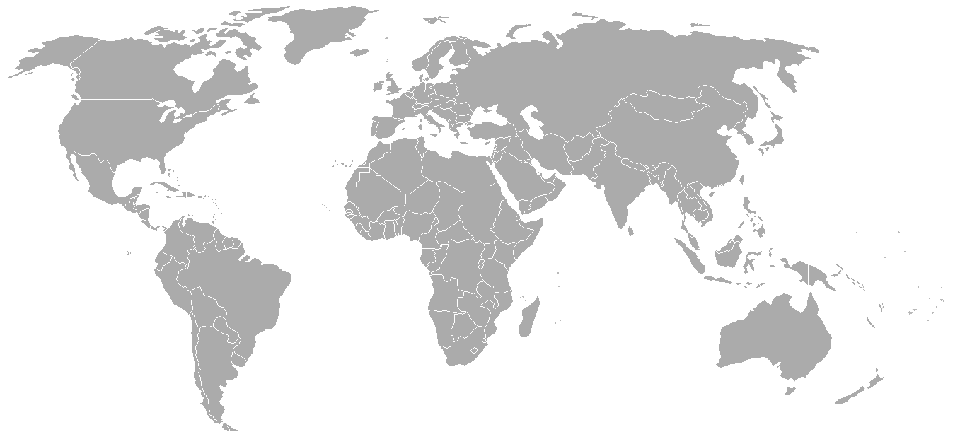
World map with 1962 borders. This is accurate between July 1, 1962 (Belgian colony of Ruanda-Urundi separated into Rwanda and Burundi.) and August 31, 1963 (Singapore, Sabah, Sarawak and Malaya join to form Malaysia). See list for more information.
| Blank maps of the world for historical use | |
| pre-1800 | |
|
19th century | |
|
20th century | |
|
1902 · 1912 · 1914 · WWI · Aug 1918 · 1920 · 1921 · 1924 · 1926 · 1935 · 1937 · Mar 1938 · Oct 1938 · Mar 1939 · Oct 1939 · WWII · Nov 1942 · May 1945 · 1957 · 1959 · 1962 · 1968 · 1970 · 1985 · 1990 · 1993 | |
|
21st century | |
| (this template: · view · discuss ) | |
.PNG)
derivative works
Derivative works of this file: FLN soccer team visited countries.png
Lisenzirleme

|
Permission is granted to copy, distribute and/or modify this document under the terms of the GNU Free Documentation License, Version 1.2 or any later version published by the Free Software Foundation; with no Invariant Sections, no Front-Cover Texts, and no Back-Cover Texts. A copy of the license is included in the section entitled GNU Free Documentation License.http://www.gnu.org/copyleft/fdl.htmlGFDLGNU Free Documentation Licensetruetrue |
| Bu faýl Creative Commons Attribution-Share Alike 3.0 Unported lisenziýasyna laýyklykda lisenzirlenendir. | ||
| ||
| This licensing tag was added to this file as part of the GFDL licensing update.http://creativecommons.org/licenses/by-sa/3.0/CC BY-SA 3.0Creative Commons Attribution-Share Alike 3.0truetrue |
Captions
Items portrayed in this file
depicts iňlis dili
copyright status iňlis dili
copyrighted iňlis dili
copyright license iňlis dili
media type iňlis dili
image/png
checksum iňlis dili
7f27b6077fa7fad8151d35c3981b25026e2e521d
data size iňlis dili
49120 byte
height iňlis dili
628 pixel
width iňlis dili
1357 pixel
Faýlyň taryhy
Faýlyň geçmişini görmek üçin Sene/Wagt bölümündäki senelere tyklaň.
| Sene/Wagt | Miniatýura | Ölçegler | Ulanyjy | Teswir | |
|---|---|---|---|---|---|
| häzirki | 02:49, 24 sentýabr 2007 | | 1 357 × 628 (48 KB) | Hoshie | put the (N/S) Yemen boundary in white due to the fact the boundaries in southern Saudi Arabia have been disputed, undemarcated, or undisclosed over the years. |
| 00:43, 6 awgust 2007 |  | 1 357 × 628 (48 KB) | Hoshie | Added Cabinda; under same lic. as original. | |
| 10:27, 28 ýanwar 2007 |  | 1 357 × 628 (48 KB) | Hoshie | added Ifni, a Spanish enclave. | |
| 23:54, 5 ýanwar 2007 |  | 1 357 × 628 (48 KB) | Roke~commonswiki | Blank world map with 1962 borders. This is accurate between December 19, 1961 (India takes over the Portugese colony of Goa) and July 1, 1962 (Belgian colony of Ruanda-Urundi separated into Rwanda and Burundi.) See [[w:List of national border changes sinc |
Faýlyň ulanylyşy
Bu faýly ulanýan hiç hili sahypa ýok.
Global faýl ulanyşy
Bu faýl aşakdaky beýleki wikiler tarapyndan ulanylýar:
- ca.wikipedia.org sahypasynda ulanyş
- es.wikipedia.org sahypasynda ulanyş
- fr.wikipedia.org sahypasynda ulanyş
- nl.wikipedia.org sahypasynda ulanyş