ไฟล์:Location_of_the_Ryukyu_Islands.JPG
From Wikipedia, the free encyclopedia
ขนาดของตัวอย่างนี้: 654 × 599 พิกเซล ความละเอียดอื่น: 262 × 240 พิกเซล | 524 × 480 พิกเซล
ดูภาพที่มีความละเอียดสูงกว่า (800 × 733 พิกเซล, ขนาดไฟล์: 310 กิโลไบต์, ชนิดไมม์: image/jpeg)
| รูปภาพหรือไฟล์เสียงนี้ ต้นฉบับอยู่ที่ คอมมอนส์ รายละเอียดด้านล่าง เป็นข้อความที่แสดงผลจาก ไฟล์ต้นฉบับในคอมมอนส์
|

|
ภาพแผนที่ระบุตำแหน่งนี้ ควรจะถูกสร้างใหม่เป็นกราฟิกส์เวกเตอร์ ซึ่งมีข้อดีอีกหลายประการ ดูเพิ่มเติมที่คอมมอนส์:สื่อต้องการเก็บกวาดสำหรับสารสนเทศเพิ่มเติม หากภาพนี้มีในรูปแบบกราฟิกส์เวกเตอร์อยู่แล้ว กรุณาอัปโหลดและแทนที่แม่แบบนี้ด้วย
{{vector version available|ชื่อภาพใหม่}}
แนะนำเป็นอย่างยิ่งให้ตั้งชื่อไฟล์เวกเตอร์ใหม่นั้นในรูปแบบ "Location of the Ryukyu Islands.svg" แล้วใส่แม่แบบ Vector version available (หรือ Vva) ซึ่งไม่ต้องใช้พารามิเตอร์ ชื่อภาพใหม่ |
 | This locator map image was uploaded in the JPEG format even though it consists of non-photographic data. This information could be stored more efficiently or accurately in the PNG or SVG format. If possible, please upload a PNG or SVG version of this image without compression artifacts, derived from a non-JPEG source (or with existing artifacts removed). After doing so, please tag the JPEG version with {{Superseded|NewImage.ext}} and remove this tag. This tag should not be applied to photographs or scans. If this image is a diagram or other image suitable for vectorisation, please tag this image with {{Convert to SVG}} instead of {{BadJPEG}}. If not suitable for vectorisation, use {{Convert to PNG}}. For more information, see {{BadJPEG}}. |  |
ความย่อ
| คำอธิบายLocation of the Ryukyu Islands.JPG |
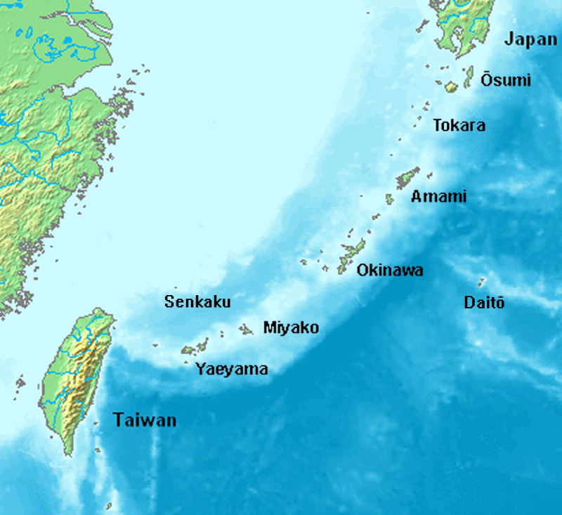
English: Location map of the Ryukyu islands (Nansei islands). This is a modification of the:
http://commons.wikimedia.org/wiki/Image:Location_Ryukyu_Islands.PNG |
| วันที่ | June 2006 |
| แหล่งที่มา | งานของตัว |
| ผู้สร้างสรรค์ | Uchinanchu |
| เวอร์ชันอื่น |
|

การอนุญาตใช้สิทธิ

|
ผู้ถือลิขสิทธิ์ของผลงานนี้ อนุญาตให้นำผลงานนี้ไปใช้ได้ ในทุกวัตถุประสงค์ โดยไม่จำกัดเงื่อนไขด้านการทำซ้ำ การนำไปใช้เพื่อการค้า และการดัดแปลงแก้ไขผลงานนี้
หมายเหตุ |
คำบรรยายโดยย่อ
เพิ่มคำบรรยายทรรทัดเดียวเพื่อขยายความว่าไฟล์นี้มีอะไร
Map of the Ryukyu Islands
ไอเทมที่แสดงอยู่ในไฟล์นี้
ประกอบด้วย
ประวัติไฟล์
คลิกวันที่/เวลาเพื่อดูไฟล์ที่ปรากฏในขณะนั้น
| วันที่/เวลา | รูปย่อ | ขนาด | ผู้ใช้ | ความเห็น | |
|---|---|---|---|---|---|
| ปัจจุบัน | 23:43, 7 สิงหาคม 2562 | | 800 × 733 (310 กิโลไบต์) | Artanisen | Higher quality and larger version. |
| 12:24, 28 มิถุนายน 2549 |  | 482 × 377 (47 กิโลไบต์) | Uchinanchu | Location of the Ryukyu Islands Modification of the: http://commons.wikimedia.org/wiki/Image:Location_Ryukyu_Islands.PNG |
หน้าที่มีภาพนี้
หน้าต่อไปนี้ โยงมาที่ภาพนี้:
การใช้ไฟล์ข้ามโครงการ
วิกิอื่นต่อไปนี้ใช้ไฟล์นี้:
- การใช้บน af.wikipedia.org
- การใช้บน ang.wikipedia.org
- การใช้บน ar.wikipedia.org
- การใช้บน ast.wikipedia.org
- การใช้บน az.wikipedia.org
- การใช้บน bg.wikipedia.org
- การใช้บน bh.wikipedia.org
- การใช้บน br.wikipedia.org
- การใช้บน ca.wikipedia.org
- การใช้บน cdo.wikipedia.org
- การใช้บน da.wikipedia.org
- การใช้บน de.wikipedia.org
- Ryūkyū-Inseln
- Geschichte der Ryūkyū-Inseln
- Nansei-Inseln
- Kerama-Inseln
- Diploderma polygonatum
- Plestiodon kishinouyei
- Sinomicrurus japonicus
- Eigentliche Zwergschlangen
- Calamaria pfefferi
- Achalinus werneri
- Lycodon multifasciatus
- Ptyas herminae
- Hebius pryeri
- Hebius ishigakiensis
- Hebius concelarus
- Gekko vertebralis
- Ateuchosaurus pellopleurus
- Scincella boettgeri
- Plestiodon japonicus
- Plestiodon marginatus
- Plestiodon latiscutatus
- Plestiodon finitimus
- Plestiodon kuchinoshimensis
- Plestiodon stimpsonii
- Plestiodon takarai
- Plestiodon oshimensis
- Buergeria japonica
- Japanisch-taiwanische Beziehungen
- การใช้บน en.wikipedia.org
ดูการใช้ข้ามโครงการเพิ่มเติมของไฟล์นี้