Britania Raya
From Wikipedia, the free encyclopedia
Remove ads
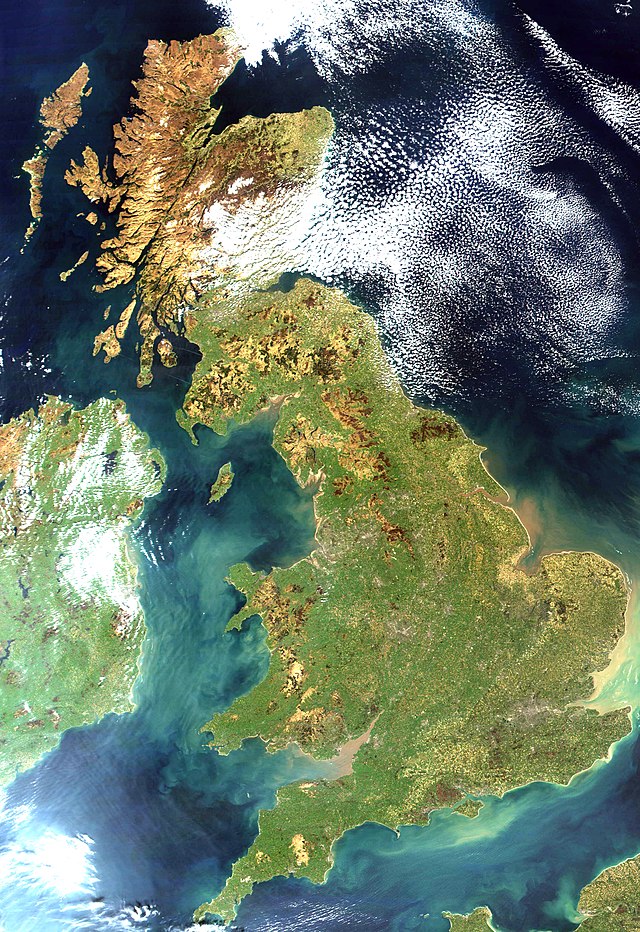
Britania Raya magrupakeun kapuloan penggedéna di Kapuloan Britania.
- Tempo oge: Karajaan Britania Raya

Remove ads
Kota-kota ibu kota
- Inggris: London
- Skotlandia: Edinburgh
- Wales: Cardiff
Kota Ageung Sejenna
- England: Bath, Birmingham, Bradford, Brighton, Bristol, Cambridge, Coventry, Derby, Exeter, Hull, Leeds, Leicester, Liverpool, Manchester, Newcastle-upon-Tyne, Norwich, Nottingham, Oxford, Plymouth, Reading, Sheffield, Southampton, Sunderland, Truro, York.
- Scotland: Aberdeen, Dundee, Glasgow, Inverness, Stirling.
- Wales: Bangor, Newport, Swansea, Wrexham.
Other islands of the archipelago
- Anglesey
- Hebrides
- Ireland
- Isle of Man
- Isle of Wight
- Lundy
- Mull
- Orkneys
- The Shetland Islands
- Skye
Rujukan
Tumbu luar
Wikiwand - on
Seamless Wikipedia browsing. On steroids.
Remove ads

