Šablóna:Geobox locator Slovensko/Dokumentácia
From Wikipedia, the free encyclopedia
- Mapy použité v Geoboxe

Slovakia - outline map.svg 
Slovakia - background map.png 
Tatra-Fatra Area - location map.svg 
High Tatras - location map.svg 
Greater Fatra (SVK) - location map.svg 
Lesser Fatra - location map.svg 
Image:NP Veľká Fatra - location map.svg 
Váh River (SVK) - location and watershed.svg 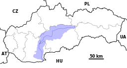
Hron River - location and watershed map.svg 
Hornád River - location and watershed map.svg 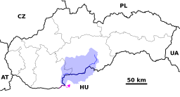
Ipeľ River (SVK) - location and watershed.svg 
Slaná River - location and watershed map.svg


_-_location_map.svg)


_-_location_and_watershed.svg)


_-_location_and_watershed.svg)
