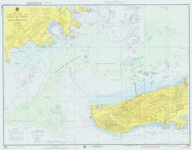
Nautical chart
topographic map of a maritime area and adjacent coastal regions From Wikipedia, the free encyclopedia
A nautical chart is a map which is used to show objects on the ocean. Nautical charts were very common from the 14th century to the 17th century. They are usually used by sailors to navigate.
This article does not have any sources. (May 2023) |

Wikiwand - on
Seamless Wikipedia browsing. On steroids.
