Merzig-Wadern
district in Saarland, Germany From Wikipedia, the free encyclopedia
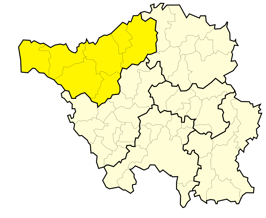
Merzig-Wadern is a Kreis (district) in the northeast of the Saarland, Germany.
History
The district was created in 1816 when the area became the property of Prussia. After World War I the Saar area was under special government of the League of Nations, which did split the district into two parts. The area around Wadern stayed Prussian, while the Merzig area became part of the Saargebiet area. In 1935 the Saar area rejoined Germany, however it took till after the World War II that the two district parts were reunited in 1946.
Geography
The Saar River flows through the district, the Moselle River forms the boundary in the west to Luxembourg.
Coat of arms
 |
The coat of arms show the symbols of those countries which had possessions in the district's area. The top-left show the cross of Trier, the top-right those of Lorraine. The wolfs-hook in the bottom-left represents Dagstuhl, who owned Wadern, the lion in the bottom-right stands for Luxembourg who owned the western part of the district. |
Towns and municipalities
| Towns | Municipalities |
|---|---|
References
Other websites
Wikiwand in your browser!
Seamless Wikipedia browsing. On steroids.
Every time you click a link to Wikipedia, Wiktionary or Wikiquote in your browser's search results, it will show the modern Wikiwand interface.
Wikiwand extension is a five stars, simple, with minimum permission required to keep your browsing private, safe and transparent.


