Mogilev Region

administrative division (voblasć) in Belarus From Wikipedia, the free encyclopedia

Mogilev Regionmap

Mogilev Region, also Mahilyow Voblasts (Province) or Mogilyov Oblast is a province (voblast) of Belarus. The administrative center is Mogilyov (Mahilyow).

Quick Facts Mahilyow Voblasts Магілёўская во́бласцьМогилёвская о́бласть, Administrative center ...
Mahilyow Voblasts
Магілёўская во́бласць
Могилёвская о́бласть
Mogilev Oblast
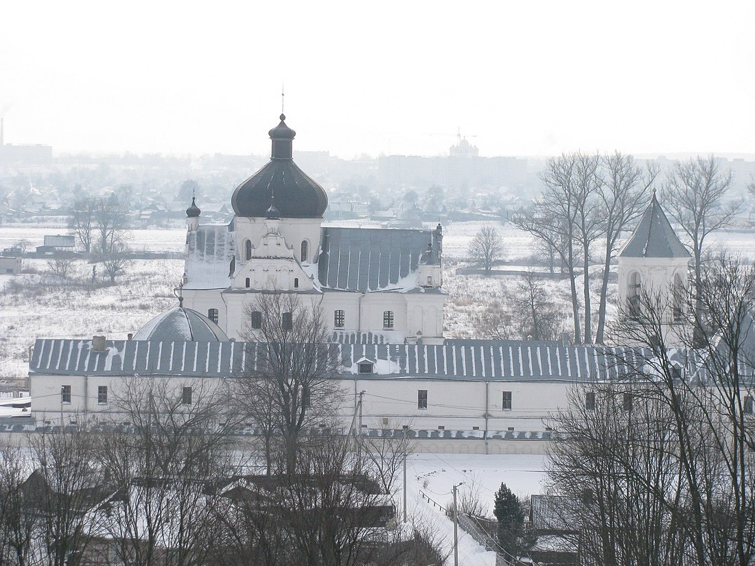
The Saint Nicholas Monastery, Mogilev
Flag of Mahilyow Voblasts
Coat of arms of Mahilyow Voblasts
Location of Mahilyow Voblasts
Coordinates: 53.92°N 30.35°E / 53.92; 30.35
Administrative centerMogilev
Largest citiesMogilev - 365,100
Babruysk - 220,800
Asipovichy - 34,700
Raions21
Towns - 14
Urban localities - 12
City raions3
Government
  ChairmanPyotr Rudnik
Area
  Total29,000 km2 (11,000 sq mi)
Highest elevation
239 m (784 ft)
Lowest elevation
126 m (413 ft)
Population
 (2009)
  Total1,099,374
  Density40/km2 (100/sq mi)
Websiteregion.mogilev.by
Close

Mogilev and Homyel Voblasts suffered severely after the Chernobyl nuclear radioactive reactor catastrophe in April 1986.

Important cities in the voblast are: Mogilyov, Asipovichy, and Babruysk.

Many rivers flow through the Mahilyow Voblast. They include the: Dnieper River (Dniapro), Berezina, Sozh, Druts, Pronya and Ptsich rivers.

There are 21 districts (raions), 195 selsovets, 14 towns, 3 city municipalities, and 12 urban-type settlements.

Wikiwand in your browser!

Seamless Wikipedia browsing. On steroids.

Every time you click a link to Wikipedia, Wiktionary or Wikiquote in your browser's search results, it will show the modern Wikiwand interface.

Wikiwand extension is a five stars, simple, with minimum permission required to keep your browsing private, safe and transparent.