File:Centroamerica-ubicacion.png
From Wikipedia, the free encyclopedia
Size of this preview: 800 × 581 pixels. Other resolutions: 320 × 233 pixels | 640 × 465 pixels | 827 × 601 pixels.
Original file (827 × 601 pixels, file size: 61 KB, MIME type: image/png)
| This is a file from the Wikimedia Commons. Information from its description page there is shown below. Commons is a freely licensed media file repository. You can help. |
| Public domainPublic domainfalsefalse |
| This work has been released into the public domain by its author, AlexCovarrubias at English Wikipedia. This applies worldwide. In some countries this may not be legally possible; if so: AlexCovarrubias grants anyone the right to use this work for any purpose, without any conditions, unless such conditions are required by law.Public domainPublic domainfalsefalse |
Summary
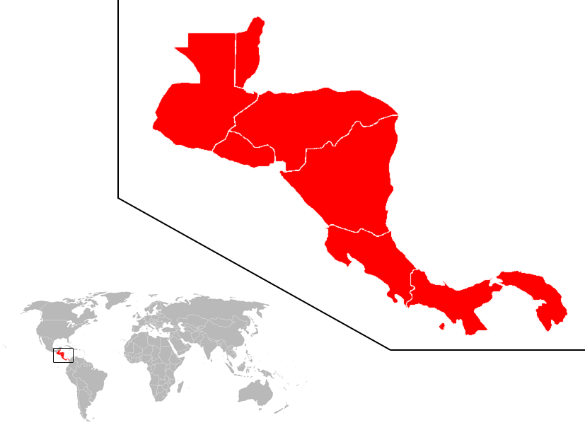
| DescriptionCentroamerica-ubicacion.png | Ubicación del subcontinente centroamericano en el mundo. Location of the Central American subcontinent in the world. |
| Date | |
| Source | Own work |
| Author | AlexCovarrubias |
| Permission (Reusing this file) |
Public Domain |
Captions
Add a one-line explanation of what this file represents
Items portrayed in this file
depicts
5 September 2007
image/png
894bad4e81287a88b5f479b4f68a3fb90347f435
62,617 byte
601 pixel
827 pixel
File history
Click on a date/time to view the file as it appeared at that time.
| Date/Time | Thumbnail | Dimensions | User | Comment | |
|---|---|---|---|---|---|
| current | 19:51, 5 September 2007 | | 827 × 601 (61 KB) | AlexCovarrubias | Mapa más grande, mejor resolución. |
| 17:58, 5 September 2007 |  | 467 × 423 (44 KB) | AlexCovarrubias | ||
| 17:47, 5 September 2007 |  | 1,427 × 628 (38 KB) | AlexCovarrubias | La descripción más extendida de centroamérica es la rep. en este mapa | |
| 16:50, 5 September 2007 |  | 251 × 141 (7 KB) | Anjelkaido | ubicación del subcontinente centroamericano, desde el Istmo de Tehuantepec hasta el golfo de Urabá | |
| 15:20, 4 September 2007 |  | 1,427 × 628 (38 KB) | AlexCovarrubias | ||
| 16:14, 22 August 2007 |  | 800 × 356 (54 KB) | Jcmenal~commonswiki | Centroamérica en el mundo. | |
| 08:26, 22 August 2007 |  | 1,425 × 625 (48 KB) | Joker92~commonswiki | == Sumario == {{Information |Description=Ubucasion de el subcontinente centroamericano en el mundo |Source=http://commons.wikimedia.org/wiki/Image:BlankMap-World.png |Date=28 de junio 2007 |Author=Vardion+dario |Permission=Libre |other_versions= }} == Li | |
| 23:33, 28 June 2007 |  | 1,425 × 625 (27 KB) | Ruben bardales85~commonswiki | {{Information |Description=Ubucasion de el subcontinente centroamericano en el mundo |Source=http://commons.wikimedia.org/wiki/Image:BlankMap-World.png |Date=28 de junio 2007 |Author=Vardion+dario |Permission=Libre |other_versions= }} |
File usage
The following page uses this file:
Global file usage
The following other wikis use this file:
- Usage on af.wikipedia.org
- Usage on an.wikipedia.org
- Usage on bn.wikipedia.org
- Usage on en.wikipedia.org
- Belize
- Central America
- El Salvador
- Honduras
- Nicaragua
- Panama
- List of rivers of the Americas
- History of Latin America
- Rail transport by country
- Caribbean Lowlands
- List of islands of Central America
- List of airports in Costa Rica
- Template:Central America topic
- List of airports in Guatemala
- Rail transport in Guatemala
- Rail transport in Honduras
- Rail transport in Belize
- Rail transport in El Salvador
- Rail transport in Costa Rica
- Rail transport in Panama
- Light rail in North America
- List of airports in Belize
- History of rail transport in Nicaragua
- User:AlexCovarrubias/Images
- Streetcars in North America
- List of airports in Panama
- List of airports in El Salvador
- List of airports in Honduras
- List of airports in Nicaragua
- Rail transport in Central America
- List of mammals of Panama
- List of mammals of Nicaragua
- List of mammals of Mexico
- List of mammals of Honduras
- List of mammals of Guatemala
- List of mammals of Greenland
- List of mammals of El Salvador
- List of mammals of Costa Rica
- List of mammals of Belize
- Outline of North America
- Guatemala
- List of ultras of Central America
- User:Rlendog/Sandbox3
- List of mammals of Central America
- Category:Health in Central America
- List of mountain peaks of Central America
View more global usage of this file.
Retrieved from "https://simple.wikipedia.org/wiki/File:Centroamerica-ubicacion.png"