File:A9_road_map.png
From Wikipedia, the free encyclopedia
No higher resolution available.
A9_road_map.png (250 × 425 pixels, file size: 52 KB, MIME type: image/png)
| This is a file from the Wikimedia Commons. Information from its description page there is shown below. Commons is a freely licensed media file repository. You can help. |
Summary
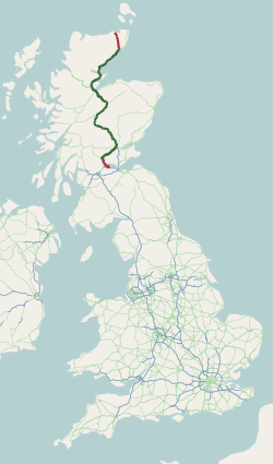
| DescriptionA9 road map.png | Map of the A9 road. |
| Source | http://www.sabre-roads.org.uk/wiki/index.php?title=Category:Maps_from_OpenStreetMap |
| Author | Map generated using data from OpenStreetMap and licensed under CC-by-SA |
Licensing
This file is licensed under the Creative Commons Attribution-Share Alike 3.0 Unported license.
- You are free:
- to share – to copy, distribute and transmit the work
- to remix – to adapt the work
- Under the following conditions:
- attribution – You must give appropriate credit, provide a link to the license, and indicate if changes were made. You may do so in any reasonable manner, but not in any way that suggests the licensor endorses you or your use.
- share alike – If you remix, transform, or build upon the material, you must distribute your contributions under the same or compatible license as the original.
Captions
Add a one-line explanation of what this file represents
Items portrayed in this file
depicts
image/png
225f0b600859211d8f305ded301ec67677a8f39d
53,045 byte
425 pixel
250 pixel
File history
Click on a date/time to view the file as it appeared at that time.
| Date/Time | Thumbnail | Dimensions | User | Comment | |
|---|---|---|---|---|---|
| current | 15:39, 9 August 2013 | | 250 × 425 (52 KB) | Rcsprinter123 |
File usage
The following page uses this file:
Global file usage
The following other wikis use this file:
- Usage on en.wikipedia.org
- Usage on www.wikidata.org
- Usage on zh.wikipedia.org
Retrieved from "https://simple.wikipedia.org/wiki/File:A9_road_map.png"