File:Relief_map_of_USA_Michigan.png
From Wikipedia, the free encyclopedia
Size of this preview: 533 × 600 pixels. Other resolutions: 213 × 240 pixels | 426 × 480 pixels | 682 × 768 pixels | 1,066 × 1,200 pixels.
Original file (1,066 × 1,200 pixels, file size: 1,000 KB, MIME type: image/png)
| This is a file from the Wikimedia Commons. Information from its description page there is shown below. Commons is a freely licensed media file repository. You can help. |
Summary
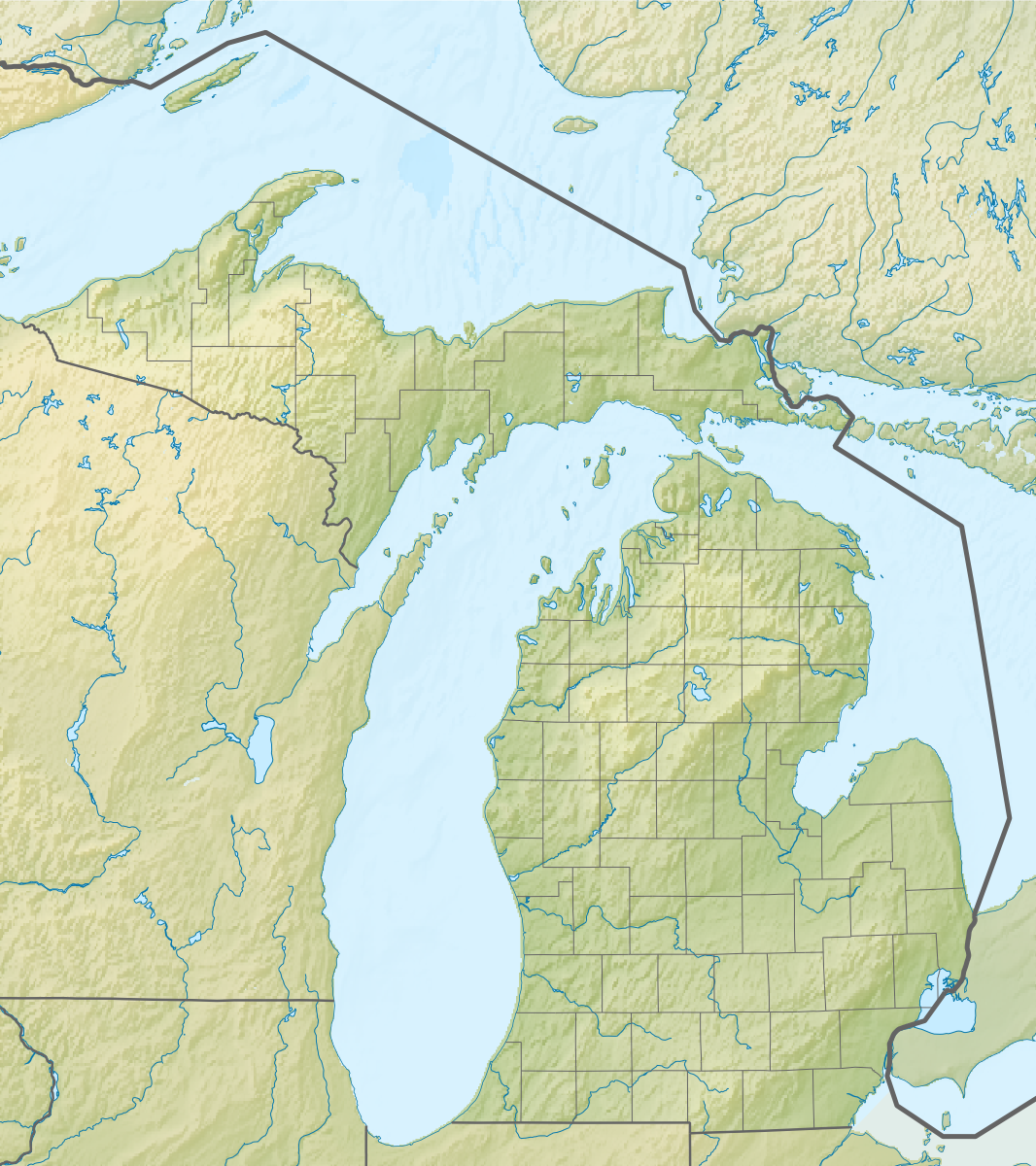
| DescriptionRelief map of USA Michigan.png |
Русский: Физическая карта штата Мичиган (США).
Equirectangular projection, N/S stretching 140.0 %. Geographic limits of the map:
|
| Date | |
| Source |
|
| Author | Nzeemin |
| Other versions |
|

Licensing
I, the copyright holder of this work, hereby publish it under the following license:
This file is licensed under the Creative Commons Attribution-Share Alike 3.0 Unported license.
- You are free:
- to share – to copy, distribute and transmit the work
- to remix – to adapt the work
- Under the following conditions:
- attribution – You must give appropriate credit, provide a link to the license, and indicate if changes were made. You may do so in any reasonable manner, but not in any way that suggests the licensor endorses you or your use.
- share alike – If you remix, transform, or build upon the material, you must distribute your contributions under the same or compatible license as the original.
Captions
Relief map of the state of Michigan.
Items portrayed in this file
depicts
22 November 2012
1,023,592 byte
1,200 pixel
1,066 pixel
image/png
92d986371107586d356fb0b20ef5c31237f31127
File history
Click on a date/time to view the file as it appeared at that time.
| Date/Time | Thumbnail | Dimensions | User | Comment | |
|---|---|---|---|---|---|
| current | 09:42, 22 November 2012 | | 1,066 × 1,200 (1,000 KB) | Nzeemin | User created page with UploadWizard |
File usage
The following 8 pages use this file:
Global file usage
The following other wikis use this file:
- Usage on ar.wikipedia.org
- Usage on az.wikipedia.org
- Usage on ba.wikipedia.org
- Usage on bn.wikipedia.org
- Usage on ca.wikipedia.org
- Usage on ceb.wikipedia.org
- Usage on ce.wikipedia.org
- Usage on cs.wikipedia.org
- Usage on de.wikipedia.org
- Michigansee
- WEYI-Sendemast
- Isle Royale
- Old Mission Peninsula
- Belle Isle (Detroit)
- Belle Isle (Isle Royale National Park)
- Mackinac Island
- Vorlage:Positionskarte USA Michigan
- Indian Lake State Park (Michigan)
- Alexander Lake (Michigan)
- Warren Dunes State Park
- Hubbard Lake (Michigan)
- Grassy Island (Michigan)
- Beaver Island (Charlevoix County, Michigan)
- Pumpspeicherkraftwerk Ludington
- Round Island (Mackinac County)
- Mount Arvon
- Pogy Lake
- Stony Island (Wayne County, Michigan)
- Drummond Island
- WGRT
- Bois Blanc Island (Huronsee)
- WILS
- North Manitou Island
- South Manitou Island
- WCMU-FM
- Grand Island (Alger County, Michigan)
- Suttons Bay (Bucht)
- Otsego Lake (Michigan)
- Usage on de.wikivoyage.org
- Usage on el.wikipedia.org
- Usage on en.wikipedia.org
View more global usage of this file.
Metadata
This file contains additional information, probably added from the digital camera or scanner used to create or digitize it.
If the file has been modified from its original state, some details may not fully reflect the modified file.
| Horizontal resolution | 35.43 dpc |
|---|---|
| Vertical resolution | 35.43 dpc |
| Software used |
|