ගොනුව:Carmarthenshire_UK_relief_location_map.jpg
From Wikipedia, the free encyclopedia
මෙම පෙරදසුනෙහි විශාලත්වය: 769 × 599 පික්සල. අනෙකුත් විභේදනයන්: 308 × 240 පික්සල | 616 × 480 පික්සල | 986 × 768 පික්සල | 1,280 × 998 පික්සල | 1,999 × 1,558 පික්සල.
මුල් ගොනුව (1,999 × 1,558 පික්සල, ගොනු විශාලත්වය: 428 කි.බ., MIME ශෛලිය: image/jpeg)
මෙම ගොනුව Wikimedia Commons වෙතින් වන අතර අනෙකුත් ව්යාපෘතීන් විසින්ද භාවිතා කල හැක. එහි ගොනු විස්තර පිටුව තුල අඩංගු විස්තර මෙහි පහත දැක්වෙයි.
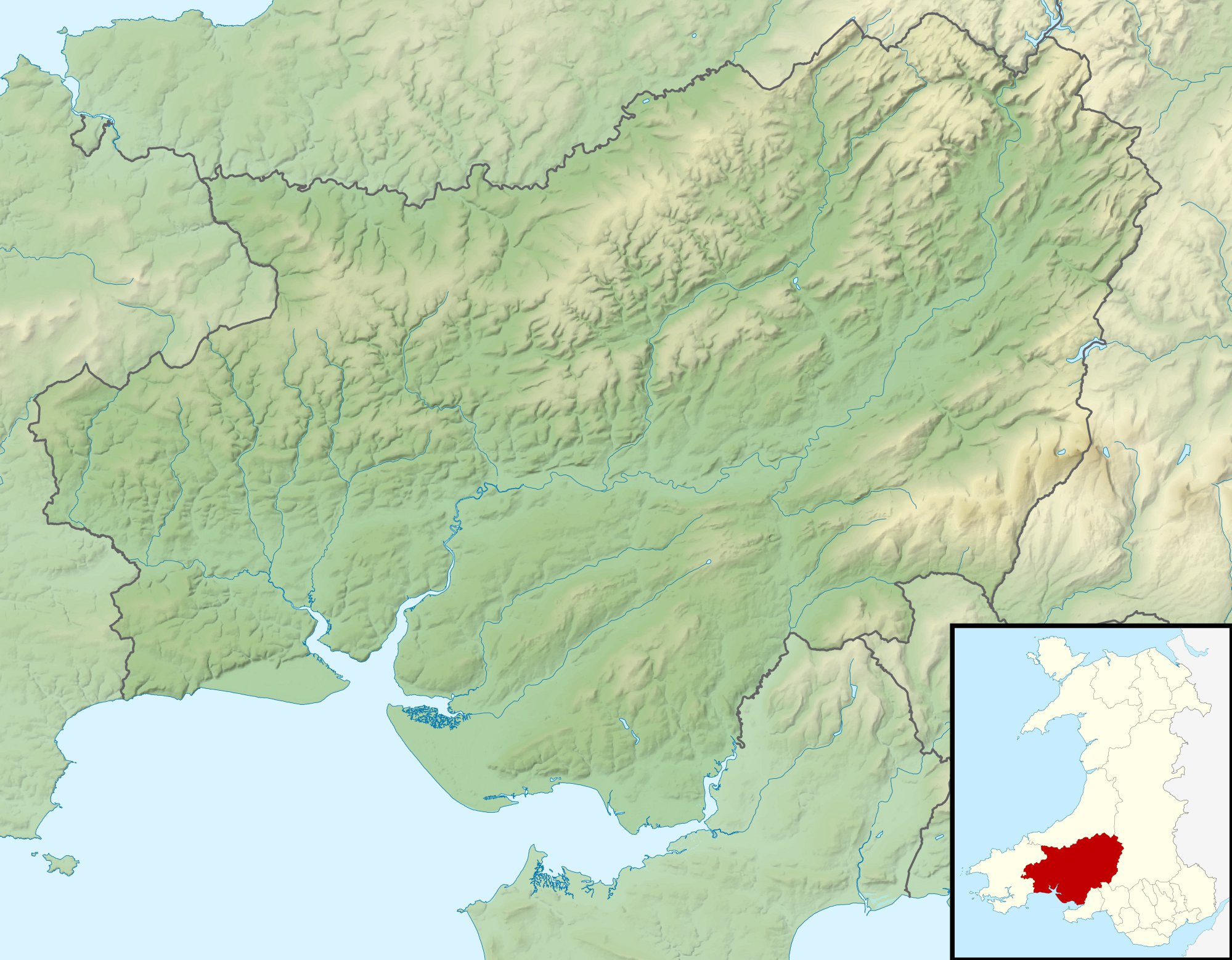
| විස්තරයCarmarthenshire UK relief location map.jpg |
Relief map of Carmarthenshire, UK. Equirectangular map projection on WGS 84 datum, with N/S stretched 160% Geographic limits:
|
| දිනය | |
| මූලාශ්රය |
|
| කර්තෘ | Nilfanion, created using Ordnance Survey data |
| අවසරය (මෙම ගොනුව නැවත භාවිතා කරමින්) |
මෙම ගොනුව ක්රියේටිව් කොමන්ස් Attribution-Share Alike 3.0 Unported වරපත යටතේ අවසර ලබා ඇත. Attribution: Contains Ordnance Survey data © Crown copyright and database right
|
| අනෙකුත් අනුවාදයන් | File:Carmarthenshire UK map.svg - Blank map |
Captions
මෙම ගොනුව නිරූපණය කරන්නෙඑ කුමක්දැයි තනි පේළියේ පැහැදිළි කිරීමක් එක් කරන්න.
Items portrayed in this file
depicts ඉංග්රීසි
copyright status ඉංග්රීසි
copyrighted ඉංග්රීසි
copyright license ඉංග්රීසි
inception ඉංග්රීසි
30 නොවැම්බර් 2010
media type ඉංග්රීසි
image/jpeg
checksum ඉංග්රීසි
c608fed785117767233030b1cbf57e7c58870b1f
data size ඉංග්රීසි
438,678 byte
1,558 pixel
width ඉංග්රීසි
1,999 pixel
ගොනු ඉතිහාසය
එම අවස්ථාවෙහිදී ගොනුව පැවැති ආකාරය නැරඹීමට දිනය/වේලාව මත ක්ලික් කරන්න.
| දිනය/වේලාව | කුඩා-රූපය | මාන | පරිශීලක | පරිකථනය | |
|---|---|---|---|---|---|
| වත්මන් | 00:58, 30 නොවැම්බර් 2011 | | 1,999 × 1,558 (428 කි.බ.) | Nilfanion | {{Information |Description=Relief map of Carmarthenshire, UK. Equirectangular map projection on WGS 84 datum, with N/S stretched 160% Geographic limits: *West: 4.75W *East: 3.58W *North: 52.15N *South: 51.58N |Source=[[w:Ordnance S |
ගොනු භාවිතය
පහත දැක්වෙන පිටු 2 ක් විසින් මෙම ගොනුව භාවිතා කෙරෙයි:
ගෝලීය ගොනු භාවිතය
පහත දැක්වෙන අනෙකුත් විකියන් මගින් මෙම ගොනුව භාවිතා කරයි:
- ar.wikipedia.org හි භාවිතය
- ceb.wikipedia.org හි භාවිතය
- cy.wikipedia.org හි භාවිතය
- de.wikipedia.org හි භාවිතය
- en.wikipedia.org හි භාවිතය
- es.wikipedia.org හි භාවිතය
- fr.wikipedia.org හි භාවිතය
- ja.wikipedia.org හි භාවිතය
- kn.wikipedia.org හි භාවිතය
- pl.wikipedia.org හි භාවිතය
- pl.wikibooks.org හි භාවිතය
- tr.wikipedia.org හි භාවිතය
- uz.wikipedia.org හි භාවිතය
- war.wikipedia.org හි භාවිතය
- zh.wikipedia.org හි භාවිතය
"https://si.wikipedia.org/wiki/ගොනුව:Carmarthenshire_UK_relief_location_map.jpg" වෙතින් සම්ප්රවේශනය කෙරිණි