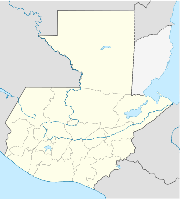
San Cristóbal Acasaguastlán
San Cristóbal Acasaguastlán is a toun in the El Progreso depairtment o Guatemala. San Cristóbal Acasaguastlán is locatit on the northren bank o the Motagua River at a altitude o 250 m. It haed a population o 6,129 fowk at the 2002 census, an covers a territory o 124 square kilometre (48 sq mi). San Cristóbal Acasaguastlán borders on San Agustín Acasaguastlán tae the northwast, Usumatlán tae the east, an El Jicaro tae the sooth. It is locatit on the inter-ocean heich-gate (CA-9), 101 km frae Guatemala Ceety.
Read article
Nearby Places

San Agustín Acasaguastlán
