Usellus
'nu comune tagliáne From Wikipedia, the free encyclopedia

Usellus éte 'nu comune tagliáne de 933 crestiáne.
| Usellus comune tagliàne | ||
|---|---|---|
| ||
| State | ||
| Reggione | ||
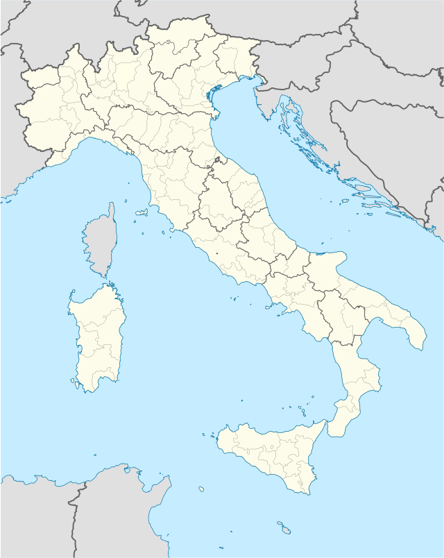
| Provinge | Oristano | |
| Coordinate | 39°48′00″N 8°51′00″E | |
| Altitudine | 289 m s.l.m. | |
| Superficie | 35,10 km² | |
| Crestiàne | 933 | |
| Denzetà | 26,58 cr./km² | |
| Fraziune | Escovedu | |
| Comune 'nzeccate | Albagiara, Ales, Gonnosnò, Mogorella, Villa Verde, Villaurbana | |
| CAP | 09090 | |
| Prefisse | 0783 | |
| Codece ISTAT | 095070 | |
| Cod. catastale | L508 | |
| Nome javetande | Usellesi | |
 Usellus | ||
| Site istituzionale | ||
Wikiwand in your browser!
Seamless Wikipedia browsing. On steroids.
Every time you click a link to Wikipedia, Wiktionary or Wikiquote in your browser's search results, it will show the modern Wikiwand interface.
Wikiwand extension is a five stars, simple, with minimum permission required to keep your browsing private, safe and transparent.