
Sand'Omero
'nu comune tagliáne / From Wikipedia, the free encyclopedia
Sand'Omero (in tagliàne: Sant'Omero) éte 'nu comune tagliáne de 5.238 crestiáne.
|
|
Fatti in breve Sand'Omero comune tagliàne, State ...
| Sand'Omero comune tagliàne | ||
|---|---|---|
_-_palazzo_municipale_-_01.jpg) | ||
| ||
| State | ||
| Reggione | ||
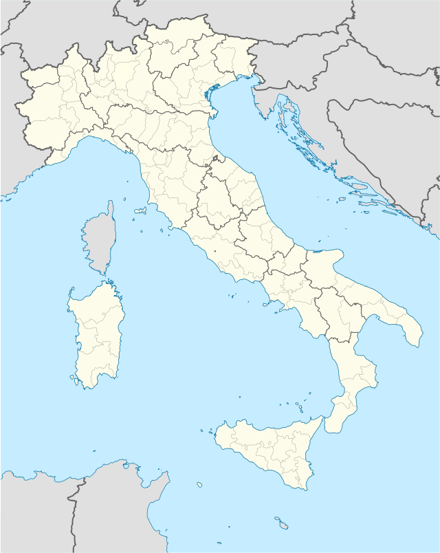
| Provinge | Teramo | |
| Coordinate | 42°46′00″N 13°48′00″E42°46′00″N, 13°48′00″E (Sand'Omero) | |
| Altitudine | 209 m s.l.m. | |
| Superficie | 33 km² | |
| Crestiàne | 5 398 (01-01-2007 (ISTAT)) | |
| Denzetà | 163 cr./km² | |
| Fraziune | Barracche, Case Alte, Casette, Fontana Vecchia, Garrufo, Mediana, Pignotto, Poggio Morello, Santa Maria a Vico, Villa Gatti, Villa Ricci | |
| Comune 'nzeccate | Bellante, Campli, Civitella del Tronto, Corropoli, Mosciano Sant'Angelo, Nereto, Sant'Egidio alla Vibrata, Torano Nuovo, Tortoreto | |
| CAP | 64027 | |
| Prefisse | 0861 | |
| Codece ISTAT | 067039 | |
| Cod. catastale | I348 | |
| Nome javetande | santomeresi | |
| Patrone | Sant'Omero | |
| Sciurne festive | 3 sciugne | |
 Sand'Omero | ||
| Site istituzionale | ||
Chiudi