File:BlankMap-World-2005.png
From Wikipedia, the free encyclopedia
اصلي دوتنه (۱٬۴۲۵ × ۶۲۵ پېکسل, د دوتنې کچه: ۱۸ کيلوبايټ, MIME بڼه: image/png)
دا دوتنه د ويکيمېډيا کامنز لخوا خپرېږې او کېدای شي چې دا په نورو پروژو هم کارېدلې وي. د دوتنې د کارېدنې لا نور مالومات د دوتنې د څرگندنو په مخ کې لاندې ښودل شوی.

|
This locator map image could be re-created using vector graphics as an SVG file. This has several advantages; see Commons:Media for cleanup for more information. If an SVG form of this image is available, please upload it and afterwards replace this template with
{{vector version available|new image name}}.
It is recommended to name the SVG file “BlankMap-World-2005.svg”—then the template Vector version available (or Vva) does not need the new image name parameter. |
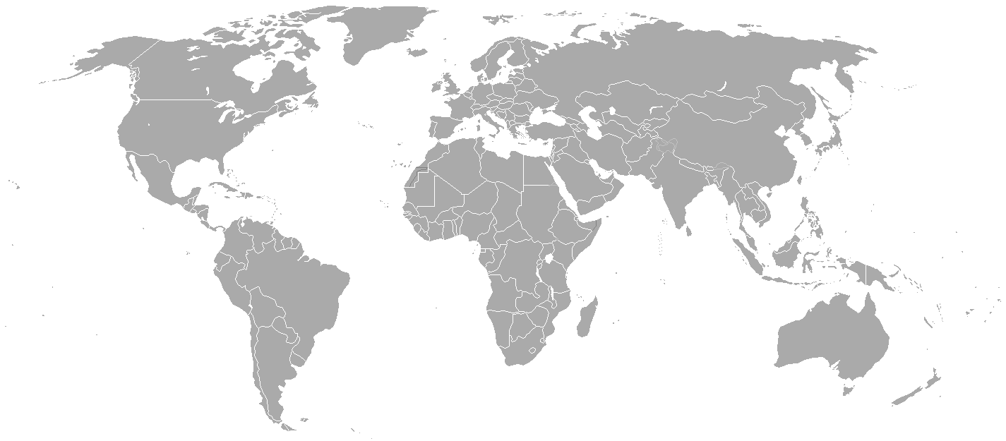
Blank political map of the world showing 2005 borders (i.e. before the independence of Montenegro and Kosovo). Based on Image:BlankMap-World.png; as it is PD, this is too.
This map is accurate for the period between May 20, 2002 (East Timor independent from Indonesia), and June 3, 2006 (Montenegro independent from Serbia and Montenegro) — notwithstanding the renaming of Yugoslavia to Serbia and Montenegro on February 3, 2003.
Previous map: Image:BlankMap-World-2000.png
| Blank maps of the world for historical use | |
| pre-1800 | |
|
19th century | |
|
20th century | |
|
1902 · 1912 · 1914 · WWI · Aug 1918 · 1920 · 1921 · 1924 · 1926 · 1935 · 1937 · Mar 1938 · Oct 1938 · Mar 1939 · Oct 1939 · WWII · Nov 1942 · May 1945 · 1957 · 1959 · 1962 · 1968 · 1970 · 1985 · 1990 · 1993 | |
|
21st century | |
| (this template: · view · discuss ) | |
.PNG)
| Public domainPublic domainfalsefalse |
| This work has been released into the public domain by its author, Hoshie. This applies worldwide. In some countries this may not be legally possible; if so: |
derivative works
Derivative works of this file:
Captions
Items portrayed in this file
depicts انګليسي
media type انګليسي
image/png
checksum انګليسي
c54a0193133ed2eabc4ca1eaf52fbaa8879a5f34
data size انګليسي
۱۸٬۱۴۱ بايټ
height انګليسي
۶۲۵ پېکسل
width انګليسي
۱٬۴۲۵ پېکسل
د دوتنې پېښليک
په يوې نېټې/يوه وخت وټوکۍ چې د هماغه وخت او نېټې دوتنه چې څنگه ښکارېده هماغسې درښکاره شي.
| نېټه/وخت | بټنوک | ډډې | کارن | تبصره | |
|---|---|---|---|---|---|
| اوسنی | ۲۱:۳۵, ۱۵ مې ۲۰۱۵ | | ۱٬۴۲۵ × ۶۲۵ (۱۸ کيلوبايټ) | RokerHRO | optipng -o7 -i0 → 68.85% decrease |
| ۲۲:۳۸, ۳۰ مارچ ۲۰۱۰ |  | ۱٬۴۲۵ × ۶۲۵ (۵۷ کيلوبايټ) | Spesh531 | changes the same as modern one | |
| ۰۲:۲۷, ۱۲ اپرېل ۲۰۰۸ |  | ۱٬۴۲۵ × ۶۲۵ (۴۹ کيلوبايټ) | Hoshie | Blank map of the world showing 2005 borders (i.e. before the independence of Montenegro and Kosovo). Based off Image:BlankMap-World.png; as it is PD, this is too. This map is accurite for the period between May 20, 2002 (East Timor independent from |
د دوتنې کارېدنه
داسې هېڅ کوم مخ نه شته چې د دغې دوتنې سره تړنې ولري.
د نړېوالې دوتنې کارېدنه
همدا دوتنه لاندينۍ نورې ويکي گانې کاروي:
- په fr.wikipedia.org کارونې
مېټاډاټا
همدا دوتنه نور اضافه مالومات هم لري، چې کېدای شي ستاسې د گڼياليزې کامرې او يا هم د ځيرڅار په کارولو سره د گڼيالېدنې په وخت کې ورسره مل شوي.
که همدا دوتنه د خپل آرني دريځ څخه بدله شوې وي نو ځينې تفصيلونه به په بدل شوي دوتنه کې په بشپړه توگه نه وي.
| څنډيز ژورليد | ۳۷٫۷۸ dpc |
|---|---|
| ولاړيز ژورليد | ۳۷٫۷۸ dpc |