File:Saudi_Arabia_relief_location_map.jpg
From Wikipedia, the free encyclopedia
اصل فائل (۲,۰۰۳ × ۱,۶۶۸ پکسلز, فائل حجم: ۱.۶۷ میگابائٹ, MIME type: image/jpeg)
ایہ فائل Wikimedia Commons توں اے تے دوجیاں ویونتاں تے وی ورتی جاسکدی اے۔ گل بات اس دے فائل گل بات صفحہ تے تھلے دتی گئی۔
| تفصیلSaudi Arabia relief location map.jpg |
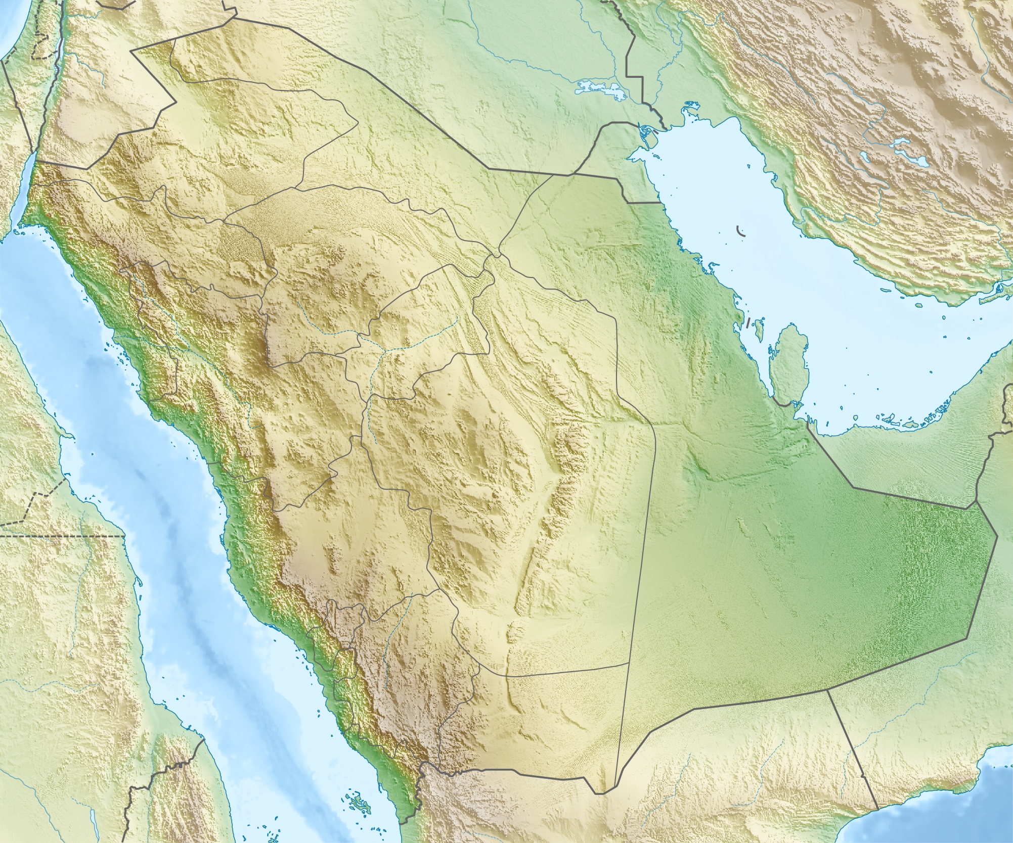
العربية: خريطة مواقع السعودية.
إسقاط متساوي المستطيلات (الإسقاط الجغرافي)، شمال / جنوب امتداد 110٪. الحدود الجغرافية للخريطة:
Deutsch: Physische Positionskarte von Saudi-Arabien
Quadratische Plattkarte, N-S-Streckung 110 %. Geographische Begrenzung der Karte:
English: Physical location map of Saudi Arabia
Equirectangular projection, N/S stretching 110 %. Geographic limits of the map:
|
|||
| تریخ | ||||
| سروت | آپݨا کم, using map data from administrative map by NordNordWest. The relief was created from SRTM-30 relief data. | |||
| لکھاری | Carport | |||
| اجازت (فائل نوں دوبارہ ورتنا) |
ایس فائل نوں کریٹو کامنز Attribution 2.5 پولینڈ لائسنس دتا گیا.
|
|||
| دوجے ورژن |
|
.jpg)

 | This image was uploaded in the JPEG format even though it consists of non-photographic data. This information could be stored more efficiently or accurately in the PNG or SVG format. If possible, please upload a PNG or SVG version of this image without compression artifacts, derived from a non-JPEG source (or with existing artifacts removed). After doing so, please tag the JPEG version with {{Superseded|NewImage.ext}} and remove this tag. This tag should not be applied to photographs or scans. If this image is a diagram or other image suitable for vectorisation, please tag this image with {{Convert to SVG}} instead of {{BadJPEG}}. If not suitable for vectorisation, use {{Convert to PNG}}. For more information, see {{BadJPEG}}. |  |
Captions
Items portrayed in this file
چترن
creator English
some value
copyright status English
copyrighted English
۱۶ مئی 2010
source of file English
original creation by uploader English
media type English
image/jpeg
فائل دی تریخ
فائل نو اس ویلے دی حالت وچ ویکھن واسطے تاریخ/ویلے تے کلک کرو۔
| تریخ تے ویلہ | نکی مورت | پاسے | ورتن والا | تیپّݨی کرو | |
|---|---|---|---|---|---|
| موجودہ | ۲۲:۲۸, ۱۶ مئی ۲۰۱۰ | | ۲,۰۰۳ × ۱,۶۶۸ (۱.۶۷ میگابائٹ) | Carport | {{Information |Description={{de|Physische Positionskarte von {{w|Saudi-Arabien|3=de}}}} Quadratische Plattkarte, N-S-Streckung 110 %. Geographische Begrenzung der Karte: * N: 32.5° N * S: 16.0° N * W: 34.2° O * O: 56.0° O {{en|Physical location map of |
فائل دی ورتوں
فائل ویاپک ورتوں
ایہہ دوجے وکیاں ایس فائل نوں ورتدے نیں –
- ace.wikipedia.org تے ورتوں
- als.wikipedia.org تے ورتوں
- ar.wikipedia.org تے ورتوں
- حقل الغوار
- جرول
- معمل غاز حرض
- متنزه الأحساء الوطني
- سد وادي جازان
- سد وادي بيش
- الحرب العثمانية السعودية
- مستخدم:عبد المؤمن/مسودات/خرائط/السعودية
- محطة الشعيبة لتحلية المياه المالحة وتوليد الطاقة الكهربائية
- محطة رأس الخير لتحلية المياه وإنتاج الطاقة
- منفذ جديدة عرعر (السعودية)
- متنزه الغاط الوطني (السعودية)
- عين حنين
- كأس خادم الحرمين الشريفين 2023–24
- ast.wikipedia.org تے ورتوں
- av.wikipedia.org تے ورتوں
- azb.wikipedia.org تے ورتوں
- az.wikipedia.org تے ورتوں
- bar.wikipedia.org تے ورتوں
- ba.wikipedia.org تے ورتوں
ایس فائل دا ویکھو ہور جگت ورتن .
میٹا ڈیٹا
اس فائل وچ ہور وی معلومات نے، شاید او ڈیجیٹل کیمرے یا سکینر نے پائیاں گئیاں نے جس نال اینو کچھیا یا ڈیجیٹل بنایا گیا اے۔
اگر فائل نو ایدی اصلی حالت توں تبدیل کیتا گیا اے تے کجھ تفصیلات تبدیل ہوئی فائل دے بارے چ نئیں دسن گیاں۔
| _error | ۰ |
|---|