File:BlankMap-World-2005.png
From Wikipedia, the free encyclopedia
اصل فائل (۱,۴۲۵ × ۶۲۵ پکسلز, فائل حجم: ۱۸ کلوبائٹ, MIME type: image/png)
ایہ فائل Wikimedia Commons توں اے تے دوجیاں ویونتاں تے وی ورتی جاسکدی اے۔ گل بات اس دے فائل گل بات صفحہ تے تھلے دتی گئی۔

|
This locator map image could be re-created using vector graphics as an SVG file. This has several advantages; see Commons:Media for cleanup for more information. If an SVG form of this image is available, please upload it and afterwards replace this template with
{{vector version available|new image name}}.
It is recommended to name the SVG file “BlankMap-World-2005.svg”—then the template Vector version available (or Vva) does not need the new image name parameter. |
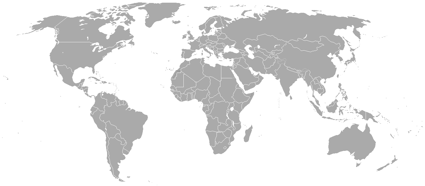
Blank political map of the world showing 2005 borders (i.e. before the independence of Montenegro and Kosovo). Based on Image:BlankMap-World.png; as it is PD, this is too.
This map is accurate for the period between May 20, 2002 (East Timor independent from Indonesia), and June 3, 2006 (Montenegro independent from Serbia and Montenegro) — notwithstanding the renaming of Yugoslavia to Serbia and Montenegro on February 3, 2003.
Previous map: Image:BlankMap-World-2000.png
| Blank maps of the world for historical use | |
| pre-1800 | |
|
19th century | |
|
20th century | |
|
1902 · 1912 · 1914 · WWI · Aug 1918 · 1920 · 1921 · 1924 · 1926 · 1935 · 1937 · Mar 1938 · Oct 1938 · Mar 1939 · Oct 1939 · WWII · Nov 1942 · May 1945 · 1957 · 1959 · 1962 · 1968 · 1970 · 1985 · 1990 · 1993 | |
|
21st century | |
| (this template: · view · discuss ) | |
.PNG)
| Public domainPublic domainfalsefalse |
| اس کم نوں لوکاں لئی ایدے لکھاریHoshie نے دے دتا اے، اے سارے جگ واسطے لاگو اے۔ کج ملکاں چ قانونی طور تے اے ممکن نئیں اے؛ اگر انج ای اے ے: |
derivative works
Derivative works of this file:
Captions
Items portrayed in this file
چترن
media type English
image/png
checksum English
c54a0193133ed2eabc4ca1eaf52fbaa8879a5f34
data size English
۱۸,۱۴۱ بائٹ
height English
۶۲۵ pixel
width English
۱,۴۲۵ pixel
فائل دی تریخ
فائل نو اس ویلے دی حالت وچ ویکھن واسطے تاریخ/ویلے تے کلک کرو۔
| تریخ تے ویلہ | نکی مورت | پاسے | ورتن والا | تیپّݨی کرو | |
|---|---|---|---|---|---|
| موجودہ | ۰۲:۳۵, ۱۶ مئی ۲۰۱۵ | | ۱,۴۲۵ × ۶۲۵ (۱۸ کلوبائٹ) | RokerHRO | optipng -o7 -i0 → 68.85% decrease |
| ۰۳:۳۸, ۳۱ مارچ ۲۰۱۰ |  | ۱,۴۲۵ × ۶۲۵ (۵۷ کلوبائٹ) | Spesh531 | changes the same as modern one | |
| ۰۷:۲۷, ۱۲ اپریل ۲۰۰۸ |  | ۱,۴۲۵ × ۶۲۵ (۴۹ کلوبائٹ) | Hoshie | Blank map of the world showing 2005 borders (i.e. before the independence of Montenegro and Kosovo). Based off Image:BlankMap-World.png; as it is PD, this is too. This map is accurite for the period between May 20, 2002 (East Timor independent from |
فائل دی ورتوں
اس فائل نال جڑیا کوئی صفحہ نئیں۔
فائل ویاپک ورتوں
ایہہ دوجے وکیاں ایس فائل نوں ورتدے نیں –
- fr.wikipedia.org تے ورتوں
میٹا ڈیٹا
اس فائل وچ ہور وی معلومات نے، شاید او ڈیجیٹل کیمرے یا سکینر نے پائیاں گئیاں نے جس نال اینو کچھیا یا ڈیجیٹل بنایا گیا اے۔
اگر فائل نو ایدی اصلی حالت توں تبدیل کیتا گیا اے تے کجھ تفصیلات تبدیل ہوئی فائل دے بارے چ نئیں دسن گیاں۔
| ہوریزنٹل ریزولوشن | ۳۷.۷۸ dpc |
|---|---|
| ورٹیکل ریزولوشن | ۳۷.۷۸ dpc |