File:BlankMap-World-1962.png
From Wikipedia, the free encyclopedia
اصل فائل (۱,۳۵۷ × ۶۲۸ پکسلز, فائل حجم: ۴۸ کلوبائٹ, MIME type: image/png)
ایہ فائل Wikimedia Commons توں اے تے دوجیاں ویونتاں تے وی ورتی جاسکدی اے۔ گل بات اس دے فائل گل بات صفحہ تے تھلے دتی گئی۔

|
This locator map image could be re-created using vector graphics as an SVG file. This has several advantages; see Commons:Media for cleanup for more information. If an SVG form of this image is available, please upload it and afterwards replace this template with
{{vector version available|new image name}}.
It is recommended to name the SVG file “BlankMap-World-1962.svg”—then the template Vector version available (or Vva) does not need the new image name parameter. |
خلاصہ
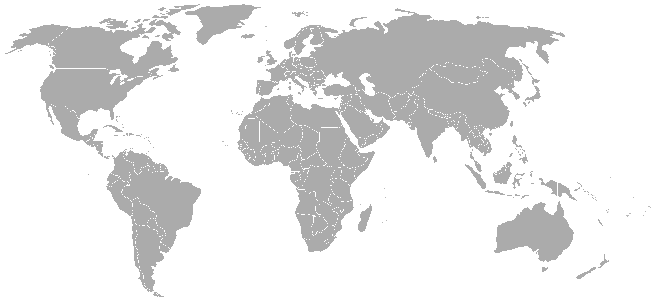
World map with 1962 borders. This is accurate between July 1, 1962 (Belgian colony of Ruanda-Urundi separated into Rwanda and Burundi.) and August 31, 1963 (Singapore, Sabah, Sarawak and Malaya join to form Malaysia). See list for more information.
| Blank maps of the world for historical use | |
| pre-1800 | |
|
19th century | |
|
20th century | |
|
1902 · 1912 · 1914 · WWI · Aug 1918 · 1920 · 1921 · 1924 · 1926 · 1935 · 1937 · Mar 1938 · Oct 1938 · Mar 1939 · Oct 1939 · WWII · Nov 1942 · May 1945 · 1957 · 1959 · 1962 · 1968 · 1970 · 1985 · 1990 · 1993 | |
|
21st century | |
| (this template: · view · discuss ) | |
.PNG)
derivative works
Derivative works of this file: FLN soccer team visited countries.png
لائسنس –

|
کاپی کرن، ونڈن تے بدلن دی ایس ڈوکومنٹ لئی اجازت دتی جاندی اے ایہناں GNU Free Documentation License, Version 1.2 شرطاں نال یا مگروں کسے وی چھپے ورین Free Software Foundation توں بنا کسے انویرینٹ سیکشن دے، ناں فرنٹ کور لکھت تے ناں بیک کور لکھت دے۔ لسنس دی اک کاپی سیکشن وچ ہیگی اے جہدا ناں اے GNU Free Documentation License۔http://www.gnu.org/copyleft/fdl.htmlGFDLGNU Free Documentation Licensetruetrue |
| ایس فائل نوں کریٹو کامنز Attribution 2.5 پولینڈ لائسنس دتا گیا. | ||
| ||
| اس لائسنس دا ٹیگ GFDL دے مطابق اس فائل چ پایا گیا اے licensing update۔http://creativecommons.org/licenses/by-sa/3.0/CC BY-SA 3.0Creative Commons Attribution-Share Alike 3.0truetrue |
Captions
Items portrayed in this file
چترن
copyright status English
copyrighted English
media type English
image/png
checksum English
7f27b6077fa7fad8151d35c3981b25026e2e521d
data size English
۴۹,۱۲۰ بائٹ
height English
۶۲۸ pixel
width English
۱,۳۵۷ pixel
فائل دی تریخ
فائل نو اس ویلے دی حالت وچ ویکھن واسطے تاریخ/ویلے تے کلک کرو۔
| تریخ تے ویلہ | نکی مورت | پاسے | ورتن والا | تیپّݨی کرو | |
|---|---|---|---|---|---|
| موجودہ | ۰۷:۴۹, ۲۴ ستمبر ۲۰۰۷ | | ۱,۳۵۷ × ۶۲۸ (۴۸ کلوبائٹ) | Hoshie | put the (N/S) Yemen boundary in white due to the fact the boundaries in southern Saudi Arabia have been disputed, undemarcated, or undisclosed over the years. |
| ۰۵:۴۳, ۶ اگست ۲۰۰۷ |  | ۱,۳۵۷ × ۶۲۸ (۴۸ کلوبائٹ) | Hoshie | Added Cabinda; under same lic. as original. | |
| ۱۵:۲۷, ۲۸ جنوری ۲۰۰۷ |  | ۱,۳۵۷ × ۶۲۸ (۴۸ کلوبائٹ) | Hoshie | added Ifni, a Spanish enclave. | |
| ۰۴:۵۴, ۶ جنوری ۲۰۰۷ |  | ۱,۳۵۷ × ۶۲۸ (۴۸ کلوبائٹ) | Roke~commonswiki | Blank world map with 1962 borders. This is accurate between December 19, 1961 (India takes over the Portugese colony of Goa) and July 1, 1962 (Belgian colony of Ruanda-Urundi separated into Rwanda and Burundi.) See [[w:List of national border changes sinc |
فائل دی ورتوں
اس فائل نال جڑیا کوئی صفحہ نئیں۔
فائل ویاپک ورتوں
ایہہ دوجے وکیاں ایس فائل نوں ورتدے نیں –
- ca.wikipedia.org تے ورتوں
- es.wikipedia.org تے ورتوں
- fr.wikipedia.org تے ورتوں
- nl.wikipedia.org تے ورتوں