Fichièr:BlankMap-World-2005.png
From Wikipedia, the free encyclopedia
Fichièr d'origina (1 425 × 625 pixèl, talha del fichièr: 18 Ko, tipe MIME: image/png)
| Aqueste fichièr proven de Wikimedia Commons?. Las informacions que lo concernisson son afichadas çaijós (procedura). |

|
Aquesta imatge (de tipus locator map) s'hauria de tornar a crear utilitzant gràfics vectorials com ara un fitxer SVG. Això té diversos avantatges; en trobareu més informació a Commons:Media for cleanup. Si ja disposeu d'una versió d'aquesta imatge en format SVG, us preguem que la pengeu; després, reemplaceu aquesta plantilla amb la plantilla {{Vector version available|nom nou de la imatge.svg}} en aquesta imatge.
|
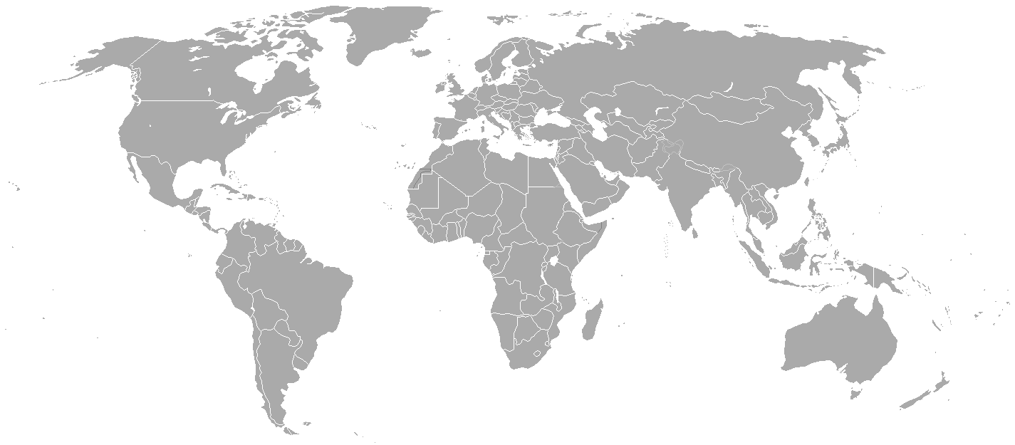
Blank political map of the world showing 2005 borders (i.e. before the independence of Montenegro and Kosovo). Based on Image:BlankMap-World.png; as it is PD, this is too.
This map is accurate for the period between May 20, 2002 (East Timor independent from Indonesia), and June 3, 2006 (Montenegro independent from Serbia and Montenegro) — notwithstanding the renaming of Yugoslavia to Serbia and Montenegro on February 3, 2003.
Previous map: Image:BlankMap-World-2000.png
| Blank maps of the world for historical use | |
| pre-1800 | |
|
19th century | |
|
20th century | |
|
1902 · 1912 · 1914 · WWI · Aug 1918 · 1920 · 1921 · 1924 · 1926 · 1935 · 1937 · Mar 1938 · Oct 1938 · Mar 1939 · Oct 1939 · WWII · Nov 1942 · May 1945 · 1957 · 1959 · 1962 · 1968 · 1970 · 1985 · 1990 · 1993 | |
|
21st century | |
| (this template: · view · discuss ) | |
.PNG)
| Public domainPublic domainfalsefalse |
| S'ha alliberat aquesta obra al domini públic pel seu autor Hoshie. Això s'aplica a tot el món. En alguns països això pot no ser legalment possible, en tal cas: |
derivative works
Derivative works of this file:
Llegendes
Elements representats en aquest fitxer
subjècte representat
tipus de mèdia d'Internet catalan
image/png
suma de verificació catalan
c54a0193133ed2eabc4ca1eaf52fbaa8879a5f34
mida de les dades catalan
18 141 Byte
625 píxel
amplada catalan
1 425 píxel
Istoric del fichièr
Clicar sus una data e una ora per veire lo fichièr tal coma èra a aqueste moment
| Data e ora | Miniatura | Dimensions | Utilizaire | Comentari | |
|---|---|---|---|---|---|
| actual | 15 mai de 2015 a 21.35 | | 1 425×625 (18 Ko) | RokerHRO | optipng -o7 -i0 → 68.85% decrease |
| 30 març de 2010 a 22.38 |  | 1 425×625 (57 Ko) | Spesh531 | changes the same as modern one | |
| 12 abril de 2008 a 02.27 |  | 1 425×625 (49 Ko) | Hoshie | Blank map of the world showing 2005 borders (i.e. before the independence of Montenegro and Kosovo). Based off Image:BlankMap-World.png; as it is PD, this is too. This map is accurite for the period between May 20, 2002 (East Timor independent from |
Paginas que contenon lo fichièr
I a ges de pagina que compòrta un ligam vèrs aqueste imatge.
Usatge global del fichièr
Los autres wikis seguents utilizan aqueste imatge :
- Utilizacion sus fr.wikipedia.org
Metadonadas
Aqueste fichièr conten d'entresenhas suplementàrias probablament apondudas per l’aparelh de fòto numeric o l'escanèr que las a aquesas. Se lo fichièr es estat modificat dempuèi son estat original, d'unes detalhs pòdon reflectir pas entièrament l’imatge modificat.
| Resolucion orizontala | 37,78 ppc |
|---|---|
| Resolucion verticala | 37,78 ppc |