File:BlankMap-World-1920.png
From Wikipedia, the free encyclopedia
- eʼelyaaígíí
- łahgo ádaalyaaígíí
- ''Wikiibíídiiya'' bikáaʼgi choolʼį́/yitʼį́
- ałʼąą dineʼé bizaadjí
- bee ééhózinígíí/yaa halneʼígíí
Size of this preview: 800 × 395 pixels. Other resolutions: 320 × 158 pixels | 640 × 316 pixels | 1,500 × 740 pixels.
''full resolution''ígíí yishʼį́ nisin (1,500 × 740 pixels - 49 KIIŁTSOHʼÍÍŁKÉ, MIME type: image/png)

|
This locator map image could be re-created using vector graphics as an SVG file. This has several advantages; see Commons:Media for cleanup for more information. If an SVG form of this image is available, please upload it and afterwards replace this template with
{{vector version available|new image name}}.
It is recommended to name the SVG file “BlankMap-World-1920.svg”—then the template Vector version available (or Vva) does not need the new image name parameter. |
Summary
| DescriptionBlankMap-World-1920.png |
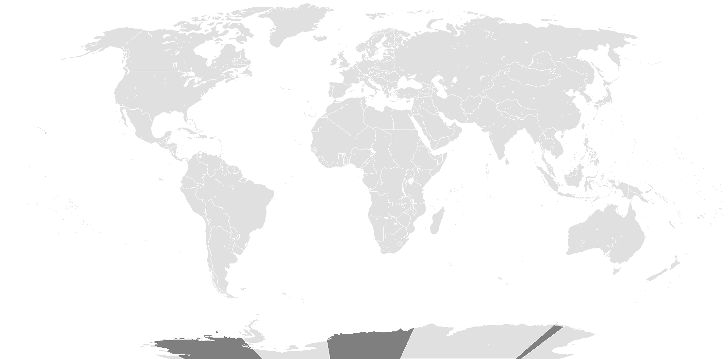
English: Map of the world in 1920, that includes the Treaty of Sèvres. |
| Date | |
| Source | File:BlankMap-World.png |
| Author | Spesh531, Vardion |
Licensing
This file is licensed under the Creative Commons Attribution-Share Alike 3.0 Unported license.
- You are free:
- to share – to copy, distribute and transmit the work
- to remix – to adapt the work
- Under the following conditions:
- attribution – You must give appropriate credit, provide a link to the license, and indicate if changes were made. You may do so in any reasonable manner, but not in any way that suggests the licensor endorses you or your use.
- share alike – If you remix, transform, or build upon the material, you must distribute your contributions under the same or compatible license as the original.
| Blank maps of the world for historical use | |
| pre-1800 | |
|
19th century | |
|
20th century | |
|
1902 · 1912 · 1914 · WWI · Aug 1918 · 1920 · 1921 · 1924 · 1926 · 1935 · 1937 · Mar 1938 · Oct 1938 · Mar 1939 · Oct 1939 · WWII · Nov 1942 · May 1945 · 1957 · 1959 · 1962 · 1968 · 1970 · 1985 · 1990 · 1993 | |
|
21st century | |
| (this template: · view · discuss ) | |
.PNG)
Captions
Add a one-line explanation of what this file represents
Items portrayed in this file
depicts English
copyright status English
copyrighted English
inception English
7 Atsá Biyáázh 2014
media type English
image/png
checksum English
356e95b7aa5fc585d8b2c910b87226ff85b81057
data size English
50,127 byte
height English
740 pixel
width English
1,500 pixel
łahgo ádaalyaaígíí
Ńtʼę́ę́ʼígíí yíníʼį́įgo biniiyé, naʼalkid/yoołkáłígíí bikáaʼgi "click" ádíílííł
| naʼalkid/yoołkáłígíí | thumbnailígíí | naaniigo/náásee | Choyoołʼįįhí | haneʼ | |
|---|---|---|---|---|---|
| kʼadígíí | 19:39, 15 Wóózhchʼį́į́d 2022 | | 1,500 × 740 (49 KIIŁTSOHʼÍÍŁKÉ) | Randomastwritter | added dervish state |
| 13:13, 1 Tʼą́ą́tsoh 2020 |  | 1,500 × 740 (35 KIIŁTSOHʼÍÍŁKÉ) | The- | Reverted to version as of 05:04, 7 February 2014 (UTC) - New map showed some incorrect national boundaires (e.g. Finland/USSR) | |
| 03:32, 11 Ghąąjįʼ 2017 |  | 1,500 × 740 (100 KIIŁTSOHʼÍÍŁKÉ) | Expertseeker90 | Major overhaul. Internal and international boundaries corrected or adjusted for the proper time period. | |
| 05:04, 7 Atsá Biyáázh 2014 |  | 1,500 × 740 (35 KIIŁTSOHʼÍÍŁKÉ) | Spesh531 | User created page with UploadWizard |
''Wikiibíídiiya'' bikáaʼgi choolʼį́/yitʼį́
(eʼelyaaígíí doo choolʼį́į da)
ałʼąą dineʼé bizaadjí
- fr.wikipedia.org bikáaʼgi
- nl.wikipedia.org bikáaʼgi
bee ééhózinígíí/yaa halneʼígíí
This file contains additional information, probably added from the digital camera or scanner used to create or digitize it.
If the file has been modified from its original state, some details may not fully reflect the modified file.
| Horizontal resolution | 37.76 dpc |
|---|---|
| Vertical resolution | 37.76 dpc |
| Software used |
|