Fil:Position_of_Southland_Region.png
From Wikipedia, the free encyclopedia
Høgare oppløysing er ikkje tilgjengeleg.
Position_of_Southland_Region.png (405 × 590 pikslar, filstorleik: 7 KB, MIME-type: image/png)
Denne fila er frå Wikimedia Commons og kan verta nytta av andre prosjekt. Skildringa frå filskildringssida der er vist nedanfor.
Følgjande er henta frå filomtalen åt denne fila på Wikimedia Commons:
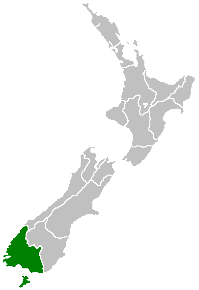
Region of New Zealand, position on the map (source:English Wiki)
| Public domainPublic domainfalsefalse |
| |
Dette verket er vorte frigjeve til ålmenta av opphavspersonen, Furius på Wikimedia Commons. Dette gjeld over heile verda. I tilfeller hvor dette ikke er juridisk mulig: |
Bilettekstar
Skriv inn ei line med tekst som skildrar fila
Element som er med i denne fila
motiv
falt i det fri med tillatelse fra rettshaver norsk bokmål
Filhistorikk
Klikk på dato/klokkeslett for å sjå fila slik ho var på det tidspunktet.
| Dato/klokkeslett | Miniatyrbilete | Oppløysing | Brukar | Kommentar | |
|---|---|---|---|---|---|
| gjeldande | 27. april 2005 kl. 09:41 | | 405 × 590 (7 KB) | Domie~commonswiki | Region of New Zealand, position on the map (source:English Wiki) {{PD}} Category:Maps of New Zealand |
Filbruk
Den følgjande sida bruker denne fila:
Global filbruk
Desse andre wikiane nyttar fila:
- Bruk på en.wikipedia.org
- Pearl Harbour, New Zealand
- Halfmoon Bay (Stewart Island)
- Mavora Lakes
- Mount Anglem
- Te Waewae Bay
- Toetoes Bay
- Oreti Beach
- South Cape / Whiore
- Anchorage Island (New Zealand)
- Gore Aerodrome
- Waipapa Point
- Mount Pye (New Zealand)
- Porpoise Bay (New Zealand)
- Drummond, New Zealand
- Template:Southland-geo-stub
- Browns, New Zealand
- Springhills
- Rakahouka
- Longbush, Southland
- Roslyn Bush
- Glencoe, New Zealand
- Waitane
- Te Tipua
- Birchwood, New Zealand
- Murihiku
- Anderson Park, Invercargill
- Great South Basin
- Waimatuku
- Pukewao
- Te Peka
- Fortification, New Zealand
- Titiroa
- Pine Bush, New Zealand
- Kapuka South
- Oteramika
- Timpanys
- Waikawa, Southland
- White Hill Wind Farm
- Lorneville, New Zealand
- Rakatu Wetlands
- Kepler Mire
- Mount Allen (Stewart Island)
- Wallace County, New Zealand
- Big Bay (New Zealand)
- Clifden Limestone Caves
- Raratoka Island
- Longwood Range
- Waimea Plain (Southland)
- Waituna Lagoon
- Lake Henry (New Zealand)
Sjå meir global bruk av denne fila.