Bestand:Wales_relief_location_map.jpg
Uit Wikipedia, de vrije encyclopedia
Grootte van deze voorvertoning: 502 × 600 pixels. Andere resoluties: 201 × 240 pixels | 402 × 480 pixels | 643 × 768 pixels | 857 × 1.024 pixels | 2.000 × 2.390 pixels.
Oorspronkelijk bestand (2.000 × 2.390 pixels, bestandsgrootte: 742 kB, MIME-type: image/jpeg)
Dit is een bestand van Wikimedia Commons.
Onderstaande beschrijving komt van de beschrijving van het bestand daar.
Onderstaande beschrijving komt van de beschrijving van het bestand daar.
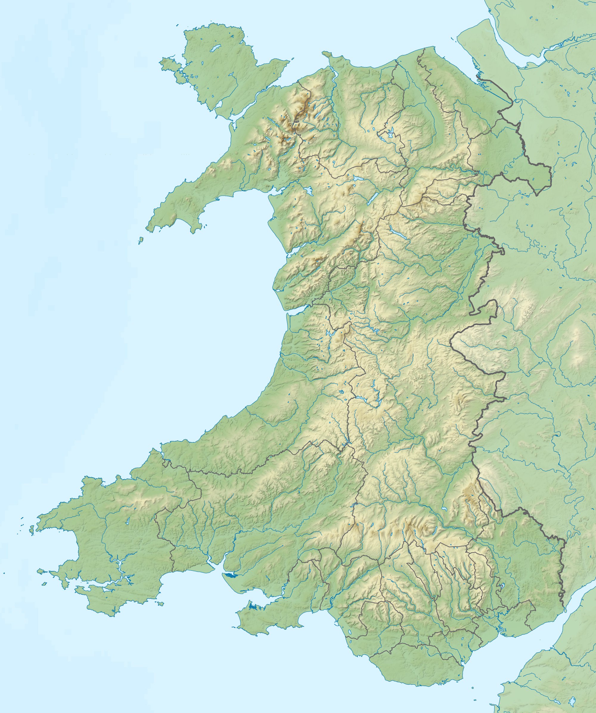
| BeschrijvingWales relief location map.jpg |
Relief map of Wales, UK. Equirectangular map projection on WGS 84 datum, with N/S stretched 170%
|
| Datum | |
| Bron |
|
| Auteur | Nilfanion, created using Ordnance Survey data |
| Toestemming (Hergebruik van dit bestand) |
Dit bestand is gelicenseerd onder de Creative Commons-licentie Naamsvermelding-Gelijk delen 3.0 Unported Naamsvermelding: Contains Ordnance Survey data © Crown copyright and database right
|
| Andere versies | File:Wales location map.svg - Blank map |
Bijschriften
Beschrijf in één regel wat dit bestand voorstelt
Items getoond in dit bestand
beeldt af
9 dec 2011
Bestandsgeschiedenis
Klik op een datum/tijd om het bestand te zien zoals het destijds was.
| Datum/tijd | Miniatuur | Afmetingen | Gebruiker | Opmerking | |
|---|---|---|---|---|---|
| huidige versie | 9 dec 2011 13:53 | | 2.000 × 2.390 (742 kB) | Nilfanion | {{Information |Description=Relief map of Wales, UK. Equirectangular map projection on WGS 84 datum, with N/S stretched 170% *West: 5.5W *East: 2.5W *North: 53.5N *South: 51.3N |Source=Ordnance Survey [https://www.ordnan |
Bestandsgebruik
Dit bestand wordt op de volgende 35 pagina's gebruikt:
- Aberystwyth Castle
- Amfitheater van Caerleon
- Bodowyr Burial Chamber
- Bryn Celli Ddu Burial Chamber
- Caerleon Roman Fortress and Baths
- Caernarfon Castle
- Caldey
- Carreg Cennen Castle
- Castell Aberlleiniog
- Craig Goch Dam
- Flat Holm
- Flint Castle
- Holy Island (Anglesey)
- Isca Augusta
- Kidwelly Castle
- Laugharne Castle
- Llandovery Castle
- Llansteffan Castle
- Llawhaden Castle
- Llyn Aled
- Llyn Alwen
- Llyn Tegid
- Manorbier Castle
- Nationaal park Brecon Beacons
- Nationaal park Eryri
- Pembroke Castle
- Rhuddlan Castle
- Slag bij Crogen
- Slag bij Mynydd Hyddgen
- The Wolves (Wales)
- White Castle (Wales)
- Ynys Enlli
- Yr Wyddfa
- Gebruiker:HugoNL00/Kaarten
- Sjabloon:Positiekaart Wales
Globaal bestandsgebruik
De volgende andere wiki's gebruiken dit bestand:
- Gebruikt op ar.wikipedia.org
- Gebruikt op ast.wikipedia.org
- Gebruikt op az.wikipedia.org
- Gebruikt op bar.wikipedia.org
- Gebruikt op ba.wikipedia.org
- Gebruikt op bg.wikipedia.org
- Ланголен
- Кардиф
- Суонзи
- Брекън
- Нюпорт
- Мърдър Тидфил (град)
- Денби
- Тремадог
- Колуин Бей
- Уитфорд
- Бангор (Уелс)
- Сейнт Дейвидс
- Ъск
- Престатин
- Рил
- Коруен
- Карог
- Ридлан
- Ридин
- Сейнт Асаф
- Моулд
- Багилт
- Бъкли
- Ъстрад Мънах
- Кайруис
- Конас Кий
- Юлоу
- Флинт (Уелс)
- Хардън
- Бротън
- Хоулиуел
- Куинсфери
- Солтни
- Шотън
- Чърк
- Рексъм (град)
- Амлух
- Биумарис
- Бенлех
- Хоулихед
- Лангевни
- Менай Бридж
- Абергеле
- Конуи (град)
Globaal gebruik van dit bestand bekijken.
Overgenomen van "https://nl.wikipedia.org/wiki/Bestand:Wales_relief_location_map.jpg"