ဖိုင်:1918.8_Blank_World_Map.PNG
From Wikipedia, the free encyclopedia
ဤနမူနာ၏ အရွယ်အစား - ၈၀၀ × ၃၉၅ ပစ်ဇယ်။ အခြား ပုံရိပ်ပြတ်သားမှု: ၃၂၀ × ၁၅၈ ပစ်ဇယ် | ၆၄၀ × ၃၁၆ ပစ်ဇယ် | ၁၅၀၀ × ၇၄၀ ပစ်ဇယ်။
မူရင်းဖိုင် (၁၅၀၀ × ၇၄၀ pixels, ဖိုင်အရွယ်အစား - ၈၅ KB, MIME အမျိုးအစား image/png)
| ဤဖိုင်သည် Wikimedia Commons မှဖြစ်ပြီး အခြားပရောဂျက်များတွင် သုံးကောင်းသုံးလိမ့်မည်။ ယင်း၏ ဖိုင်အကြောင်းစာမျက်နှာ တွင် ဖော်ပြထားချက်ကို အောက်တွင် ပြထားသည်။ Commons သည် မူပိုင်ခွင့်လွတ်လပ်သော မီဒီယာဖိုင်များ သိုလှောင်ထားရာ နေရာ ဖြစ်သည်။ သင်လည်း ပါဝင်ကူညီနိုင်ပါသည်။ |
အကျဉ်းချုပ်
| ဖော်ပြချက်1918.8 Blank World Map.PNG |
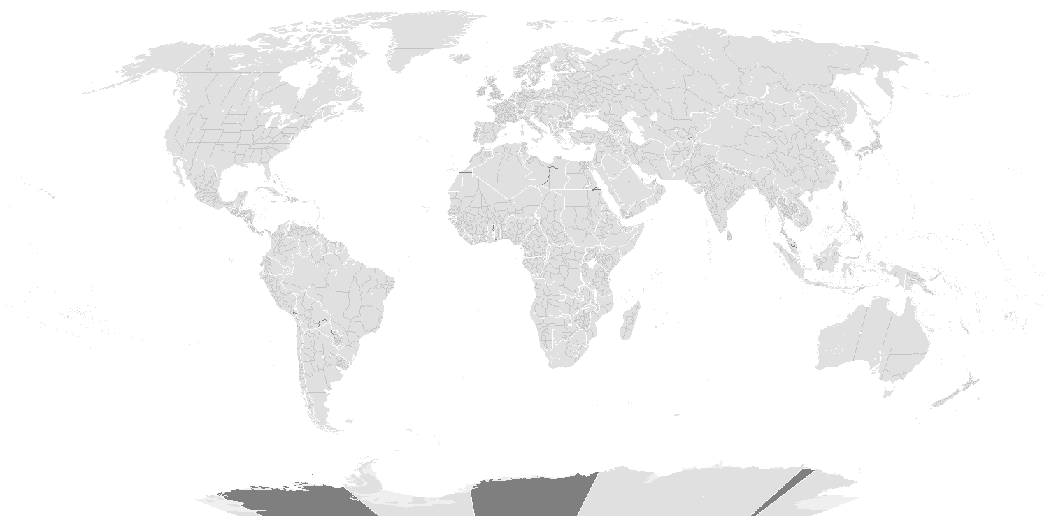
English: Blank World Map of the World on August, 1918 |
| ရက်စွဲ | |
| ရင်းမြစ် | ကိုယ်ပိုင်ဖန်တီးမှု |
| စာရေးသူ | Alvin Lee |

|
This locator map image could be re-created using vector graphics as an SVG file. This has several advantages; see Commons:Media for cleanup for more information. If an SVG form of this image is available, please upload it and afterwards replace this template with
{{vector version available|new image name}}.
It is recommended to name the SVG file “1918.8 Blank World Map.svg”—then the template Vector version available (or Vva) does not need the new image name parameter. |
လိုင်စင်သတ်မှတ်ခြင်း
ကျွန်ုပ်၊ ဤလုပ်ဆောင်ချက်၏ မူပိုင်ခွင့်ပိုင်ရှင်အနေဖြင့် ဤနေရာမှ အောက်ပါလိုင်စင်အောက်တွင် ထုတ်လွှင့်ပါသည်:
ဤဖိုင်ကို Creative Commons Attribution-Share Alike 3.0 Unported လိုင်စင်ဖြင့် သတ်မှတ်ထားသည်။
- သင်သည် လွတ်လပ်စွာ:
- မျှဝေရန် – ဖန်တီးမှုကို ကူးယူရန်၊ ဖြန့်ဖြူးရန်နှင့် ထုတ်လွှင့်ရန်
- ပြန်ရောနှောရန် – ဖန်တီးမှုကို ပြင်ဆင်ညှိနှိုင်းရန်
- အောက်ပါ အခြေအနေများတွင်:
- မှတ်ယူနိုင်ခြင်း – ပြောင်းလဲမှုများ ပြုလုပ်ခဲ့ပါက ဖန်တီးသူ သို့မဟုတ် လိုင်စင်ရှိသူမှ သတ်မှတ်သော အမျိုးအစားကို လိုက်နာရမည် (ဆိုလိုသည်မှာ သင့်အား သို့မဟုတ် သင့်ဖန်တီးမှုတွင် အသုံးပြုခြင်းအား ထောက်ခံချက်ပေးသည်ဟု မဆိုလိုပါ)။
- ထပ်တူမျှဝေ – ဤဖန်တီးမှုအား ပြင်ဆင်ခြင်း၊ ပြောင်းလဲခြင်း သို့မဟုတ် ထပ်ဆင့် ဖန်တီးခြင်း ပြုလုပ်ပါက ရရှိလာသော ဖန်တီးမှုကို ဤဖန်တီးမှုနှင့် သို့မဟုတ် ဆင်တူသော လိုင်စင်ဖြင့်သာ ဖြန့်ချိသင့်သည်။
ပုံစာများ
ဤဖိုင်၏ဆိုလိုရင်းကို စာတစ်ကြောင်းရှင်းလင်းချက်ဖြင့် ထည့်သွင်းရန်
[[File:Decriminalization of Homosexuality by country or territory.svg|thumb|center|1050px|]]
Items portrayed in this file
depicts အင်္ဂလိပ်
some value
copyrighted အင်္ဂလိပ်
၃၀ မတ် 2012
media type အင်္ဂလိပ်
image/png
checksum အင်္ဂလိပ်
b02c5b3006cbaec0763a295e4d8bd3a4f4e3fda4
data size အင်္ဂလိပ်
၈၆၆၃၇ ဘိုက်
height အင်္ဂလိပ်
၇၄၀ pixel
width အင်္ဂလိပ်
၁၅၀၀ pixel
ဖိုင်မှတ်တမ်း
ဖိုင်ကို ယင်းနေ့စွဲ အတိုင်း မြင်နိုင်ရန် နေ့စွဲ/အချိန် တစ်ခုခုပေါ်တွင် ကလစ်နှိပ်ပါ။
| နေ့စွဲ/အချိန် | နမူနာပုံငယ် | မှတ်တမ်း ဒိုင်မန်းရှင်းများ | အသုံးပြုသူ | မှတ်ချက် | |
|---|---|---|---|---|---|
| ကာလပေါ် | ၁၉:၃၃၊ ၁၅ မတ် ၂၀၂၂ | | ၁၅၀၀ × ၇၄၀ (၈၅ KB) | Randomastwritter | added dervish state |
| ၀၃:၄၀၊ ၁၁ အောက်တိုဘာ ၂၀၁၇ |  | ၁၅၀၀ × ၇၄၀ (၉၉ KB) | Expertseeker90 | More detailed and overhauled map depicting the correct internal and international boundaries for 1918. | |
| ၂၁:၀၆၊ ၁၅ မေ ၂၀၁၅ |  | ၂၇၅၃ × ၁၄၀၀ (၅၉ KB) | RokerHRO | optipng -o7 -i0 → 69.74% decrease | |
| ၁၃:၄၄၊ ၃၀ မတ် ၂၀၁၂ |  | ၂၇၅၃ × ၁၄၀၀ (၁၉၆ KB) | Alvin Lee |
ဖိုင်သုံးစွဲမှု
ဤဖိုင်ကို အသုံးပြုထားသော စာမျက်နှာများမရှိပါ။
ဂလိုဘယ် ဖိုင်သုံးစွဲမှု
အောက်ပါ အခြားဝီကီများတွင် ဤဖိုင်ကို အသုံးပြုထားသည်-
- zh.wikipedia.org တွင် အသုံးပြုမှု
မီတာဒေတာ
ဤဖိုင်တွင် သတင်းအချက်အလက် အပိုများ ပါဝင်သည်။ ဒီဂျစ်တယ် ကင်မရာ သို့ စကင်နာများက ထည့်ပေါင်းပေးလိုက်ခြင်း ဖြစ်ကောင်းဖြစ်မည်။
အကယ်၍ ဖိုင်ကို မူရင်းအခြေအနေမှ ပြုပြင်လိုက်ပါက အသေးစိတ်အချို့သည် ပြုပြင်ထားသောဖိုင်တွင် အပြည့်အစုံ ပြန်ပါလာမည်မဟုတ်။
| အလျားလိုက် ပုံရိပ်ပြတ်သားမှု | ၄၇.၂၄ dpc |
|---|---|
| ဒေါင်လိုက် ပုံရိပ်ပြတ်သားမှု | ၄၇.၂၄ dpc |
| အသုံးပြုထားသော ဆော့ဝဲ |
|