File:BlankMap-World-2005.png
From Wikipedia, the free encyclopedia
မူရင်းဖိုင် (၁၄၂၅ × ၆၂၅ pixels, ဖိုင်အရွယ်အစား - ၁၈ KB, MIME အမျိုးအစား image/png)
| ဤဖိုင်သည် Wikimedia Commons မှဖြစ်ပြီး အခြားပရောဂျက်များတွင် သုံးကောင်းသုံးလိမ့်မည်။ ယင်း၏ ဖိုင်အကြောင်းစာမျက်နှာ တွင် ဖော်ပြထားချက်ကို အောက်တွင် ပြထားသည်။ Commons သည် မူပိုင်ခွင့်လွတ်လပ်သော မီဒီယာဖိုင်များ သိုလှောင်ထားရာ နေရာ ဖြစ်သည်။ သင်လည်း ပါဝင်ကူညီနိုင်ပါသည်။ |

|
This locator map image could be re-created using vector graphics as an SVG file. This has several advantages; see Commons:Media for cleanup for more information. If an SVG form of this image is available, please upload it and afterwards replace this template with
{{vector version available|new image name}}.
It is recommended to name the SVG file “BlankMap-World-2005.svg”—then the template Vector version available (or Vva) does not need the new image name parameter. |
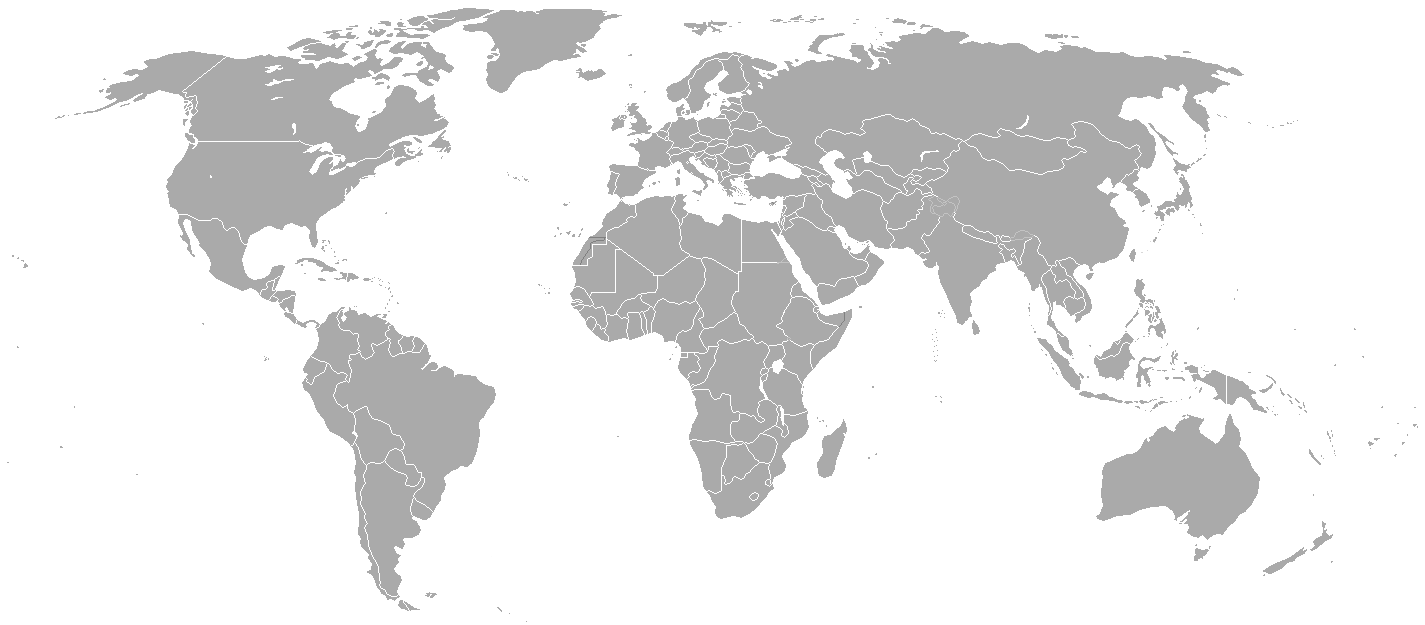
Blank political map of the world showing 2005 borders (i.e. before the independence of Montenegro and Kosovo). Based on Image:BlankMap-World.png; as it is PD, this is too.
This map is accurate for the period between May 20, 2002 (East Timor independent from Indonesia), and June 3, 2006 (Montenegro independent from Serbia and Montenegro) — notwithstanding the renaming of Yugoslavia to Serbia and Montenegro on February 3, 2003.
Previous map: Image:BlankMap-World-2000.png
| Blank maps of the world for historical use | |
| pre-1800 | |
|
19th century | |
|
20th century | |
|
1902 · 1912 · 1914 · WWI · Aug 1918 · 1920 · 1921 · 1924 · 1926 · 1935 · 1937 · Mar 1938 · Oct 1938 · Mar 1939 · Oct 1939 · WWII · Nov 1942 · May 1945 · 1957 · 1959 · 1962 · 1968 · 1970 · 1985 · 1990 · 1993 | |
|
21st century | |
| (this template: · view · discuss ) | |
.PNG)
| Public domainPublic domainfalsefalse |
| This work has been released into the public domain by its author, Hoshie. This applies worldwide. In some countries this may not be legally possible; if so: |
derivative works
Derivative works of this file:
ပုံစာများ
Items portrayed in this file
depicts အင်္ဂလိပ်
media type အင်္ဂလိပ်
image/png
checksum အင်္ဂလိပ်
c54a0193133ed2eabc4ca1eaf52fbaa8879a5f34
data size အင်္ဂလိပ်
၁၈၁၄၁ ဘိုက်
height အင်္ဂလိပ်
၆၂၅ pixel
width အင်္ဂလိပ်
၁၄၂၅ pixel
ဖိုင်မှတ်တမ်း
ဖိုင်ကို ယင်းနေ့စွဲ အတိုင်း မြင်နိုင်ရန် နေ့စွဲ/အချိန် တစ်ခုခုပေါ်တွင် ကလစ်နှိပ်ပါ။
| နေ့စွဲ/အချိန် | နမူနာပုံငယ် | မှတ်တမ်း ဒိုင်မန်းရှင်းများ | အသုံးပြုသူ | မှတ်ချက် | |
|---|---|---|---|---|---|
| ကာလပေါ် | ၂၁:၃၅၊ ၁၅ မေ ၂၀၁၅ | | ၁၄၂၅ × ၆၂၅ (၁၈ KB) | RokerHRO | optipng -o7 -i0 → 68.85% decrease |
| ၂၂:၃၈၊ ၃၀ မတ် ၂၀၁၀ |  | ၁၄၂၅ × ၆၂၅ (၅၇ KB) | Spesh531 | changes the same as modern one | |
| ၀၂:၂၇၊ ၁၂ ဧပြီ ၂၀၀၈ |  | ၁၄၂၅ × ၆၂၅ (၄၉ KB) | Hoshie | Blank map of the world showing 2005 borders (i.e. before the independence of Montenegro and Kosovo). Based off Image:BlankMap-World.png; as it is PD, this is too. This map is accurite for the period between May 20, 2002 (East Timor independent from |
ဖိုင်သုံးစွဲမှု
ဤဖိုင်ကို အသုံးပြုထားသော စာမျက်နှာများမရှိပါ။
ဂလိုဘယ် ဖိုင်သုံးစွဲမှု
အောက်ပါ အခြားဝီကီများတွင် ဤဖိုင်ကို အသုံးပြုထားသည်-
- fr.wikipedia.org တွင် အသုံးပြုမှု
မီတာဒေတာ
ဤဖိုင်တွင် သတင်းအချက်အလက် အပိုများ ပါဝင်သည်။ ဒီဂျစ်တယ် ကင်မရာ သို့ စကင်နာများက ထည့်ပေါင်းပေးလိုက်ခြင်း ဖြစ်ကောင်းဖြစ်မည်။
အကယ်၍ ဖိုင်ကို မူရင်းအခြေအနေမှ ပြုပြင်လိုက်ပါက အသေးစိတ်အချို့သည် ပြုပြင်ထားသောဖိုင်တွင် အပြည့်အစုံ ပြန်ပါလာမည်မဟုတ်။
| အလျားလိုက် ပုံရိပ်ပြတ်သားမှု | ၃၇.၇၈ dpc |
|---|---|
| ဒေါင်လိုက် ပုံရိပ်ပြတ်သားမှု | ၃၇.၇၈ dpc |