File:BlankMap-World-1962.png
From Wikipedia, the free encyclopedia
မူရင်းဖိုင် (၁၃၅၇ × ၆၂၈ pixels, ဖိုင်အရွယ်အစား - ၄၈ KB, MIME အမျိုးအစား image/png)
| ဤဖိုင်သည် Wikimedia Commons မှဖြစ်ပြီး အခြားပရောဂျက်များတွင် သုံးကောင်းသုံးလိမ့်မည်။ ယင်း၏ ဖိုင်အကြောင်းစာမျက်နှာ တွင် ဖော်ပြထားချက်ကို အောက်တွင် ပြထားသည်။ Commons သည် မူပိုင်ခွင့်လွတ်လပ်သော မီဒီယာဖိုင်များ သိုလှောင်ထားရာ နေရာ ဖြစ်သည်။ သင်လည်း ပါဝင်ကူညီနိုင်ပါသည်။ |

|
This locator map image could be re-created using vector graphics as an SVG file. This has several advantages; see Commons:Media for cleanup for more information. If an SVG form of this image is available, please upload it and afterwards replace this template with
{{vector version available|new image name}}.
It is recommended to name the SVG file “BlankMap-World-1962.svg”—then the template Vector version available (or Vva) does not need the new image name parameter. |
အကျဉ်းချုပ်
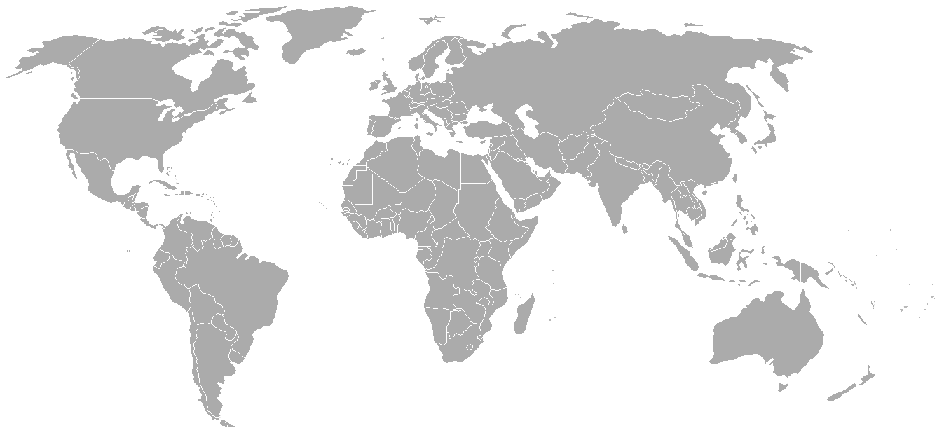
World map with 1962 borders. This is accurate between July 1, 1962 (Belgian colony of Ruanda-Urundi separated into Rwanda and Burundi.) and August 31, 1963 (Singapore, Sabah, Sarawak and Malaya join to form Malaysia). See list for more information.
| Blank maps of the world for historical use | |
| pre-1800 | |
|
19th century | |
|
20th century | |
|
1902 · 1912 · 1914 · WWI · Aug 1918 · 1920 · 1921 · 1924 · 1926 · 1935 · 1937 · Mar 1938 · Oct 1938 · Mar 1939 · Oct 1939 · WWII · Nov 1942 · May 1945 · 1957 · 1959 · 1962 · 1968 · 1970 · 1985 · 1990 · 1993 | |
|
21st century | |
| (this template: · view · discuss ) | |
.PNG)
derivative works
Derivative works of this file: FLN soccer team visited countries.png
လိုင်စင်သတ်မှတ်ခြင်း

|
ဤစာတမ်းကို GNU Free Documentation License, ဗားရှင်း ၁.၂ သို့မဟုတ် Free Software Foundation မှ ဖြန့်ချီထားသော မည်သည့်ယခင်ဗားရှင်းတစ်ခုခုအောက်တွင် Invariant Sections, Front-Cover Texts နှင့် Back-Cover Texts များမပါဝင်ဘဲ ကူးယူခြင်း၊ ဖြန့်ချီခြင်း နှင့်/သို့မဟုတ် ပြင်ဆင်ပြောင်းလဲနိုင်ရန် ခွင့်ပြုသည်။ လိုင်စင်မူပွားကို GNU Free Documentation License ခေါင်းစဉ်အောက်တွင် ထည့်သွင်းထားသည်။http://www.gnu.org/copyleft/fdl.htmlGFDLGNU Free Documentation Licensetruetrue |
| ဤဖိုင်ကို Creative Commons Attribution-Share Alike 3.0 Unported လိုင်စင်ဖြင့် သတ်မှတ်ထားသည်။ | ||
| ||
| This licensing tag was added to this file as part of the GFDL licensing update.http://creativecommons.org/licenses/by-sa/3.0/CC BY-SA 3.0Creative Commons Attribution-Share Alike 3.0truetrue |
ပုံစာများ
Items portrayed in this file
depicts အင်္ဂလိပ်
copyrighted အင်္ဂလိပ်
media type အင်္ဂလိပ်
image/png
checksum အင်္ဂလိပ်
7f27b6077fa7fad8151d35c3981b25026e2e521d
data size အင်္ဂလိပ်
၄၉၁၂၀ ဘိုက်
height အင်္ဂလိပ်
၆၂၈ pixel
width အင်္ဂလိပ်
၁၃၅၇ pixel
ဖိုင်မှတ်တမ်း
ဖိုင်ကို ယင်းနေ့စွဲ အတိုင်း မြင်နိုင်ရန် နေ့စွဲ/အချိန် တစ်ခုခုပေါ်တွင် ကလစ်နှိပ်ပါ။
| နေ့စွဲ/အချိန် | နမူနာပုံငယ် | မှတ်တမ်း ဒိုင်မန်းရှင်းများ | အသုံးပြုသူ | မှတ်ချက် | |
|---|---|---|---|---|---|
| ကာလပေါ် | ၀၂:၄၉၊ ၂၄ စက်တင်ဘာ ၂၀၀၇ | | ၁၃၅၇ × ၆၂၈ (၄၈ KB) | Hoshie | put the (N/S) Yemen boundary in white due to the fact the boundaries in southern Saudi Arabia have been disputed, undemarcated, or undisclosed over the years. |
| ၀၀:၄၃၊ ၆ ဩဂုတ် ၂၀၀၇ |  | ၁၃၅၇ × ၆၂၈ (၄၈ KB) | Hoshie | Added Cabinda; under same lic. as original. | |
| ၁၀:၂၇၊ ၂၈ ဇန်နဝါရီ ၂၀၀၇ |  | ၁၃၅၇ × ၆၂၈ (၄၈ KB) | Hoshie | added Ifni, a Spanish enclave. | |
| ၂၃:၅၄၊ ၅ ဇန်နဝါရီ ၂၀၀၇ |  | ၁၃၅၇ × ၆၂၈ (၄၈ KB) | Roke~commonswiki | Blank world map with 1962 borders. This is accurate between December 19, 1961 (India takes over the Portugese colony of Goa) and July 1, 1962 (Belgian colony of Ruanda-Urundi separated into Rwanda and Burundi.) See [[w:List of national border changes sinc |
ဖိုင်သုံးစွဲမှု
ဤဖိုင်ကို အသုံးပြုထားသော စာမျက်နှာများမရှိပါ။
ဂလိုဘယ် ဖိုင်သုံးစွဲမှု
အောက်ပါ အခြားဝီကီများတွင် ဤဖိုင်ကို အသုံးပြုထားသည်-
- ca.wikipedia.org တွင် အသုံးပြုမှု
- es.wikipedia.org တွင် အသုံးပြုမှု
- fr.wikipedia.org တွင် အသုံးပြုမှု
- nl.wikipedia.org တွင် အသုံးပြုမှု