File:BlankMap-World-1920.png
From Wikipedia, the free encyclopedia
မူရင်းဖိုင် (၁၅၀၀ × ၇၄၀ pixels, ဖိုင်အရွယ်အစား - ၄၉ KB, MIME အမျိုးအစား image/png)
| ဤဖိုင်သည် Wikimedia Commons မှဖြစ်ပြီး အခြားပရောဂျက်များတွင် သုံးကောင်းသုံးလိမ့်မည်။ ယင်း၏ ဖိုင်အကြောင်းစာမျက်နှာ တွင် ဖော်ပြထားချက်ကို အောက်တွင် ပြထားသည်။ Commons သည် မူပိုင်ခွင့်လွတ်လပ်သော မီဒီယာဖိုင်များ သိုလှောင်ထားရာ နေရာ ဖြစ်သည်။ သင်လည်း ပါဝင်ကူညီနိုင်ပါသည်။ |

|
This locator map image could be re-created using vector graphics as an SVG file. This has several advantages; see Commons:Media for cleanup for more information. If an SVG form of this image is available, please upload it and afterwards replace this template with
{{vector version available|new image name}}.
It is recommended to name the SVG file “BlankMap-World-1920.svg”—then the template Vector version available (or Vva) does not need the new image name parameter. |
အကျဉ်းချုပ်
| ဖော်ပြချက်BlankMap-World-1920.png |
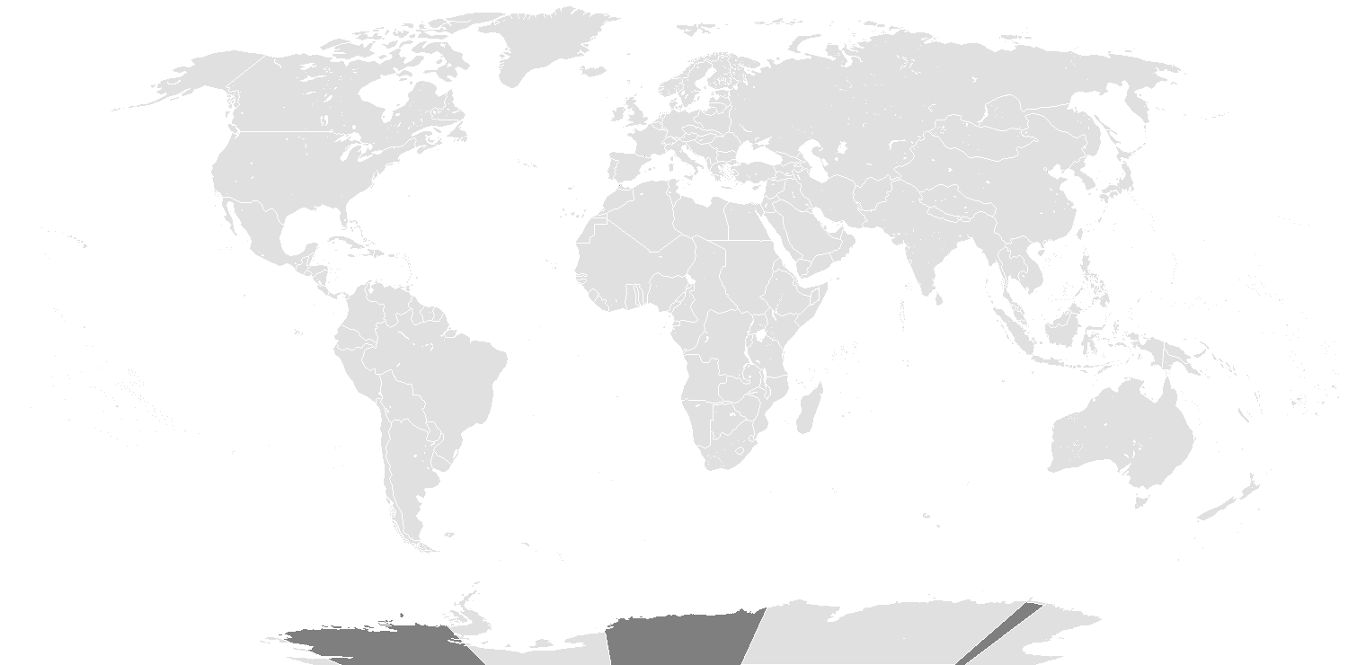
English: Map of the world in 1920, that includes the Treaty of Sèvres. |
| ရက်စွဲ | |
| ရင်းမြစ် | File:BlankMap-World.png |
| စာရေးသူ | Spesh531, Vardion |
လိုင်စင်သတ်မှတ်ခြင်း
- သင်သည် လွတ်လပ်စွာ:
- မျှဝေရန် – ဖန်တီးမှုကို ကူးယူရန်၊ ဖြန့်ဖြူးရန်နှင့် ထုတ်လွှင့်ရန်
- ပြန်ရောနှောရန် – ဖန်တီးမှုကို ပြင်ဆင်ညှိနှိုင်းရန်
- အောက်ပါ အခြေအနေများတွင်:
- မှတ်ယူနိုင်ခြင်း – ပြောင်းလဲမှုများ ပြုလုပ်ခဲ့ပါက ဖန်တီးသူ သို့မဟုတ် လိုင်စင်ရှိသူမှ သတ်မှတ်သော အမျိုးအစားကို လိုက်နာရမည် (ဆိုလိုသည်မှာ သင့်အား သို့မဟုတ် သင့်ဖန်တီးမှုတွင် အသုံးပြုခြင်းအား ထောက်ခံချက်ပေးသည်ဟု မဆိုလိုပါ)။
- ထပ်တူမျှဝေ – ဤဖန်တီးမှုအား ပြင်ဆင်ခြင်း၊ ပြောင်းလဲခြင်း သို့မဟုတ် ထပ်ဆင့် ဖန်တီးခြင်း ပြုလုပ်ပါက ရရှိလာသော ဖန်တီးမှုကို ဤဖန်တီးမှုနှင့် သို့မဟုတ် ဆင်တူသော လိုင်စင်ဖြင့်သာ ဖြန့်ချိသင့်သည်။
| Blank maps of the world for historical use | |
| pre-1800 | |
|
19th century | |
|
20th century | |
|
1902 · 1912 · 1914 · WWI · Aug 1918 · 1920 · 1921 · 1924 · 1926 · 1935 · 1937 · Mar 1938 · Oct 1938 · Mar 1939 · Oct 1939 · WWII · Nov 1942 · May 1945 · 1957 · 1959 · 1962 · 1968 · 1970 · 1985 · 1990 · 1993 | |
|
21st century | |
| (this template: · view · discuss ) | |
.PNG)
ပုံစာများ
Items portrayed in this file
depicts အင်္ဂလိပ်
copyrighted အင်္ဂလိပ်
၇ ဖေဖော်ဝါရီ 2014
media type အင်္ဂလိပ်
image/png
checksum အင်္ဂလိပ်
356e95b7aa5fc585d8b2c910b87226ff85b81057
data size အင်္ဂလိပ်
၅၀၁၂၇ ဘိုက်
height အင်္ဂလိပ်
၇၄၀ pixel
width အင်္ဂလိပ်
၁၅၀၀ pixel
ဖိုင်မှတ်တမ်း
ဖိုင်ကို ယင်းနေ့စွဲ အတိုင်း မြင်နိုင်ရန် နေ့စွဲ/အချိန် တစ်ခုခုပေါ်တွင် ကလစ်နှိပ်ပါ။
| နေ့စွဲ/အချိန် | နမူနာပုံငယ် | မှတ်တမ်း ဒိုင်မန်းရှင်းများ | အသုံးပြုသူ | မှတ်ချက် | |
|---|---|---|---|---|---|
| ကာလပေါ် | ၁၉:၃၉၊ ၁၅ မတ် ၂၀၂၂ | | ၁၅၀၀ × ၇၄၀ (၄၉ KB) | Randomastwritter | added dervish state |
| ၁၃:၁၃၊ ၁ မေ ၂၀၂၀ |  | ၁၅၀၀ × ၇၄၀ (၃၅ KB) | The- | Reverted to version as of 05:04, 7 February 2014 (UTC) - New map showed some incorrect national boundaires (e.g. Finland/USSR) | |
| ၀၃:၃၂၊ ၁၁ အောက်တိုဘာ ၂၀၁၇ |  | ၁၅၀၀ × ၇၄၀ (၁၀၀ KB) | Expertseeker90 | Major overhaul. Internal and international boundaries corrected or adjusted for the proper time period. | |
| ၀၅:၀၄၊ ၇ ဖေဖော်ဝါရီ ၂၀၁၄ |  | ၁၅၀၀ × ၇၄၀ (၃၅ KB) | Spesh531 | User created page with UploadWizard |
ဖိုင်သုံးစွဲမှု
ဤဖိုင်ကို အသုံးပြုထားသော စာမျက်နှာများမရှိပါ။
ဂလိုဘယ် ဖိုင်သုံးစွဲမှု
အောက်ပါ အခြားဝီကီများတွင် ဤဖိုင်ကို အသုံးပြုထားသည်-
- fr.wikipedia.org တွင် အသုံးပြုမှု
- nl.wikipedia.org တွင် အသုံးပြုမှု
မီတာဒေတာ
ဤဖိုင်တွင် သတင်းအချက်အလက် အပိုများ ပါဝင်သည်။ ဒီဂျစ်တယ် ကင်မရာ သို့ စကင်နာများက ထည့်ပေါင်းပေးလိုက်ခြင်း ဖြစ်ကောင်းဖြစ်မည်။
အကယ်၍ ဖိုင်ကို မူရင်းအခြေအနေမှ ပြုပြင်လိုက်ပါက အသေးစိတ်အချို့သည် ပြုပြင်ထားသောဖိုင်တွင် အပြည့်အစုံ ပြန်ပါလာမည်မဟုတ်။
| အလျားလိုက် ပုံရိပ်ပြတ်သားမှု | ၃၇.၇၆ dpc |
|---|---|
| ဒေါင်လိုက် ပုံရိပ်ပြတ်သားမှု | ၃၇.၇၆ dpc |
| အသုံးပြုထားသော ဆော့ဝဲ |
|