File:BlankMap-World-1970.png
From Wikipedia, the free encyclopedia
Fail asli (1,357 × 628 piksel, saiz fail: 48 KB, jenis MIME: image/png)
Fail ini dari Wikimedia Commons dan mungkin digunakan oleh projek lain. Penerangan pada laman penerangan failnya di sana ditunjukkan di bawah.

|
This locator map image could be re-created using vector graphics as an SVG file. This has several advantages; see Commons:Media for cleanup for more information. If an SVG form of this image is available, please upload it and afterwards replace this template with
{{vector version available|new image name}}.
It is recommended to name the SVG file “BlankMap-World-1970.svg”—then the template Vector version available (or Vva) does not need the new image name parameter. |
Ringkasan
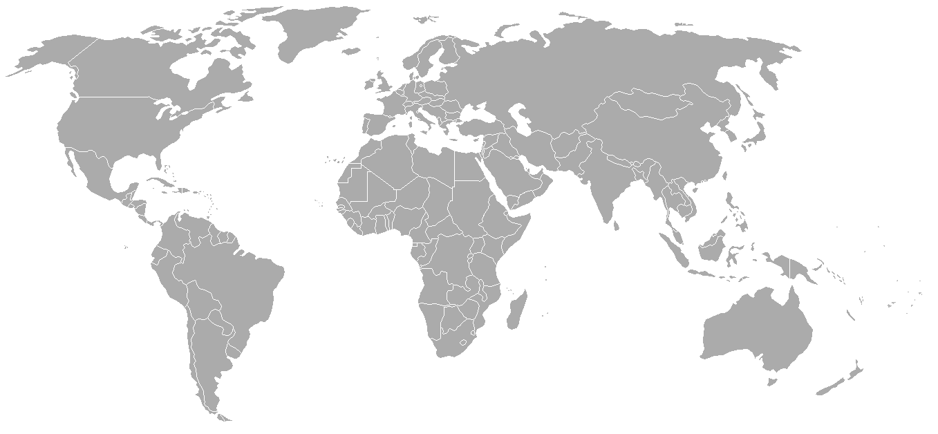
Map of the world with 1970 borders. Differences with 1985 map include: Portuguese Timor separate from Indonesia, Sikkim independent from India, North and South Vietnam separate, Walvis Bay not part of South West Africa.
Should be accurate for the period between January 4, 1969 (Spain hands over Ifni to Morocco), December 18, 1969 (Saudi-Kuwaiti neutral zone partioned between Kuwait and Saudi Arabia), and May 16, 1975 (Sikkim becomes part of India). Further information see: List of national border changes since World War I
| Blank maps of the world for historical use | |
| pre-1800 | |
|
19th century | |
|
20th century | |
|
1902 · 1912 · 1914 · WWI · Aug 1918 · 1920 · 1921 · 1924 · 1926 · 1935 · 1937 · Mar 1938 · Oct 1938 · Mar 1939 · Oct 1939 · WWII · Nov 1942 · May 1945 · 1957 · 1959 · 1962 · 1968 · 1970 · 1985 · 1990 · 1993 | |
|
21st century | |
| (this template: · view · discuss ) | |
.PNG)
Perlesenan

|
Kebenaran diberikan untuk menyalin, mengedar dan/atau mengubah dokumen ini di bawah syarat-syarat Lesen Pendokumenan Bebas GNU, versi 1.2 atau mana-mana versi selepas ini, yang diterbitkan oleh Yayasan Perisian Bebas; tanpa Seksyen yang Tak Berubah, tanpa Teks Kulit Depan dan tanpa Teks Kulit Belakang. Salinan lesen ini boleh didapati dalam seksyen yang bertajuk Lesen Pendokumenan Bebas GNU".http://www.gnu.org/copyleft/fdl.htmlGFDLGNU Free Documentation Licensetruetrue |
| Fail ini dilesenkan di bawah lesen Pengiktirafan-Perkongsian Serupa 3.0 Tidak Diport Creative Commons. | ||
| ||
| Tag pelesenan ini dibubuh pada fail ini sebagai sebahagian kemas kini pelesenan GFDLhttp://creativecommons.org/licenses/by-sa/3.0/CC BY-SA 3.0Creative Commons Attribution-Share Alike 3.0truetrue |
| Annotations InfoField | This image is annotated: View the annotations at Commons |
Conflict between Argentina - United Kingdom in Falkland Islands / Islas Malvinas.
Captions
Items portrayed in this file
menggambarkan
media type Inggeris
image/png
79542df6ee3ef9c534436c48f8cbfe608b37a91a
49,148 bait
628 piksel
1,357 piksel
Sejarah fail
Klik pada tarikh/waktu untuk melihat rupa fail tersebut pada waktu itu.
| Tarikh/Waktu | Gambar kenit | Ukuran | Pengguna | Komen | |
|---|---|---|---|---|---|
| semasa | 02:50, 24 September 2007 | | 1,357 × 628 (48 KB) | Hoshie | put the (N/S) Yemen boundary in white due to the fact the boundaries in southern Saudi Arabia have been disputed, undemarcated, or undisclosed over the years. |
| 01:22, 6 Ogos 2007 |  | 1,357 × 628 (48 KB) | Hoshie | added Cabinda, under same lic. as orginal. | |
| 02:59, 29 Januari 2007 |  | 1,357 × 628 (48 KB) | Hoshie | added the Canal Zone | |
| 10:29, 28 Januari 2007 |  | 1,357 × 628 (48 KB) | Hoshie | Saudi Arabia-Yemen boundry did not exist during this time. | |
| 09:02, 5 Januari 2007 |  | 1,357 × 628 (48 KB) | Roke~commonswiki | Blank map of the world in 1970. Differences with 1985 map include: Portugese Timor separate from Indonesia, Sikkim independent from India, North and South Vietnam separate, Walvis Bay not part of South Africa. [[Categor |
Penggunaan fail
Tiada laman yang menggunakan fail ini.
Penggunaan fail sejagat
Fail ini digunakan oleh wiki-wiki lain yang berikut:
- Penggunaan di ca.wikipedia.org
- Penggunaan di de.wikipedia.org
- Penggunaan di es.wikipedia.org
- Penggunaan di fr.wikipedia.org
- Penggunaan di nl.wikipedia.org
- Penggunaan di zh.wikipedia.org