File:BlankMap-World-1962.png
From Wikipedia, the free encyclopedia
Fail asli (1,357 × 628 piksel, saiz fail: 48 KB, jenis MIME: image/png)
Fail ini dari Wikimedia Commons dan mungkin digunakan oleh projek lain. Penerangan pada laman penerangan failnya di sana ditunjukkan di bawah.

|
This locator map image could be re-created using vector graphics as an SVG file. This has several advantages; see Commons:Media for cleanup for more information. If an SVG form of this image is available, please upload it and afterwards replace this template with
{{vector version available|new image name}}.
It is recommended to name the SVG file “BlankMap-World-1962.svg”—then the template Vector version available (or Vva) does not need the new image name parameter. |
Ringkasan
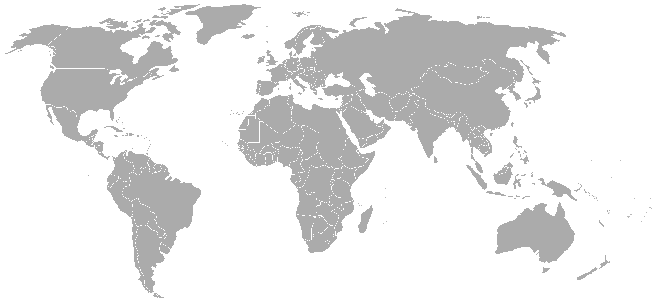
World map with 1962 borders. This is accurate between July 1, 1962 (Belgian colony of Ruanda-Urundi separated into Rwanda and Burundi.) and August 31, 1963 (Singapore, Sabah, Sarawak and Malaya join to form Malaysia). See list for more information.
| Blank maps of the world for historical use | |
| pre-1800 | |
|
19th century | |
|
20th century | |
|
1902 · 1912 · 1914 · WWI · Aug 1918 · 1920 · 1921 · 1924 · 1926 · 1935 · 1937 · Mar 1938 · Oct 1938 · Mar 1939 · Oct 1939 · WWII · Nov 1942 · May 1945 · 1957 · 1959 · 1962 · 1968 · 1970 · 1985 · 1990 · 1993 | |
|
21st century | |
| (this template: · view · discuss ) | |
.PNG)
derivative works
Derivative works of this file: FLN soccer team visited countries.png
Perlesenan

|
Kebenaran diberikan untuk menyalin, mengedar dan/atau mengubah dokumen ini di bawah syarat-syarat Lesen Pendokumenan Bebas GNU, versi 1.2 atau mana-mana versi selepas ini, yang diterbitkan oleh Yayasan Perisian Bebas; tanpa Seksyen yang Tak Berubah, tanpa Teks Kulit Depan dan tanpa Teks Kulit Belakang. Salinan lesen ini boleh didapati dalam seksyen yang bertajuk Lesen Pendokumenan Bebas GNU".http://www.gnu.org/copyleft/fdl.htmlGFDLGNU Free Documentation Licensetruetrue |
| Fail ini dilesenkan di bawah lesen Pengiktirafan-Perkongsian Serupa 3.0 Tidak Diport Creative Commons. | ||
| ||
| Tag pelesenan ini dibubuh pada fail ini sebagai sebahagian kemas kini pelesenan GFDLhttp://creativecommons.org/licenses/by-sa/3.0/CC BY-SA 3.0Creative Commons Attribution-Share Alike 3.0truetrue |
Captions
Items portrayed in this file
menggambarkan
media type Inggeris
image/png
7f27b6077fa7fad8151d35c3981b25026e2e521d
49,120 bait
628 piksel
1,357 piksel
Sejarah fail
Klik pada tarikh/waktu untuk melihat rupa fail tersebut pada waktu itu.
| Tarikh/Waktu | Gambar kenit | Ukuran | Pengguna | Komen | |
|---|---|---|---|---|---|
| semasa | 02:49, 24 September 2007 | | 1,357 × 628 (48 KB) | Hoshie | put the (N/S) Yemen boundary in white due to the fact the boundaries in southern Saudi Arabia have been disputed, undemarcated, or undisclosed over the years. |
| 00:43, 6 Ogos 2007 |  | 1,357 × 628 (48 KB) | Hoshie | Added Cabinda; under same lic. as original. | |
| 10:27, 28 Januari 2007 |  | 1,357 × 628 (48 KB) | Hoshie | added Ifni, a Spanish enclave. | |
| 23:54, 5 Januari 2007 |  | 1,357 × 628 (48 KB) | Roke~commonswiki | Blank world map with 1962 borders. This is accurate between December 19, 1961 (India takes over the Portugese colony of Goa) and July 1, 1962 (Belgian colony of Ruanda-Urundi separated into Rwanda and Burundi.) See [[w:List of national border changes sinc |
Penggunaan fail
Tiada laman yang menggunakan fail ini.
Penggunaan fail sejagat
Fail ini digunakan oleh wiki-wiki lain yang berikut:
- Penggunaan di ca.wikipedia.org
- Penggunaan di es.wikipedia.org
- Penggunaan di fr.wikipedia.org
- Penggunaan di nl.wikipedia.org