File:BlankMap-World-2005.png
From Wikipedia, the free encyclopedia
Fail orginal (1 425 × 625 picsel, dimension : 18 KByte, sort MIME: image/png)
Quell fail chì el ven de Wikimedia Commons e 'l po vesser doprad de alter proget. La descrizzion sora la soa pagina de descrizzion del fail l'è mostrada chì de sota.

|
Questa immagine (categorizzazione automatica: locator map) o tutte le immagini in questa categoria o galleria dovrebbero essere ricreate usando grafica vettoriale come file SVG. Questo offre diversi vantaggi: vedi Commons:Media for cleanup per maggiori informazioni. Se è disponibile una versione in formato SVG di questa immagine, per favore caricala. Dopo aver caricato un file SVG, sostituisci questo avviso con il template {{Vector version available|nome_immagine.svg}}.
|
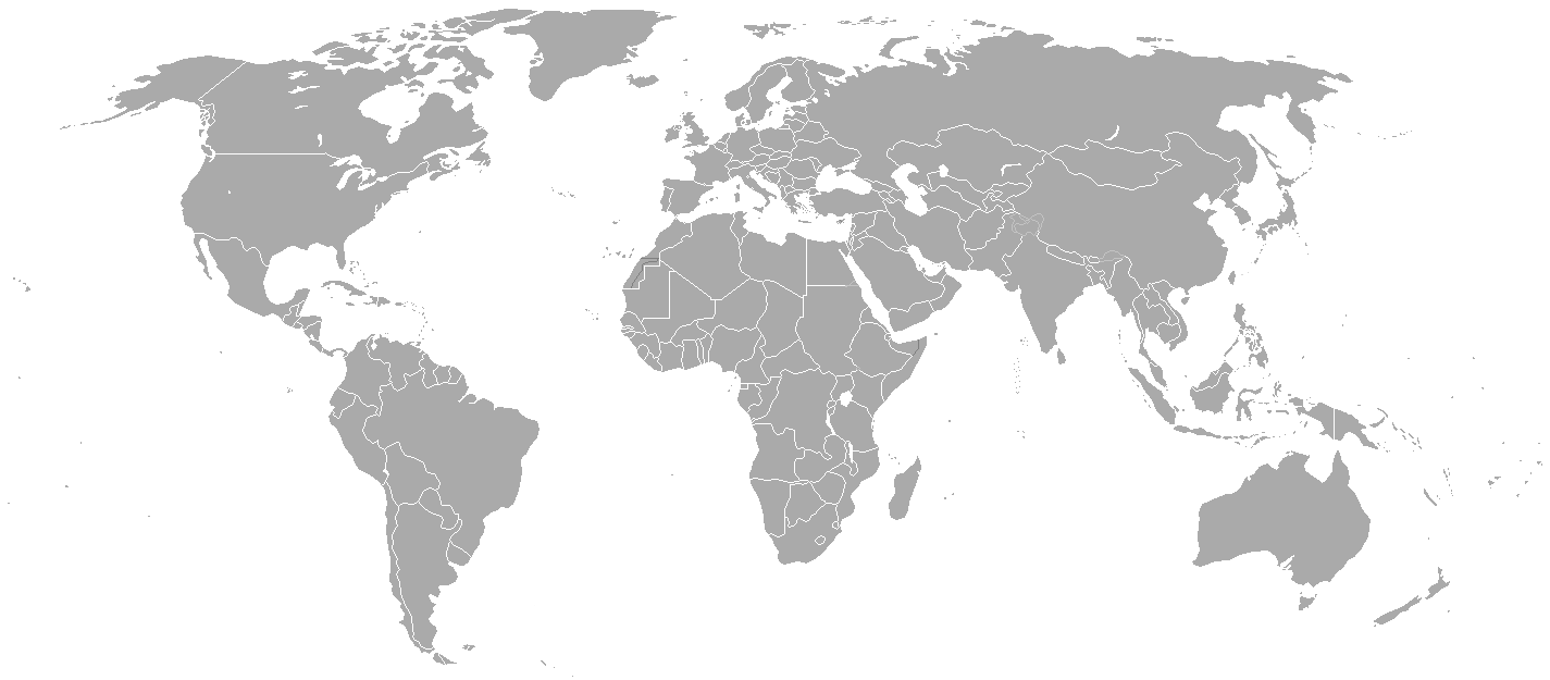
Blank political map of the world showing 2005 borders (i.e. before the independence of Montenegro and Kosovo). Based on Image:BlankMap-World.png; as it is PD, this is too.
This map is accurate for the period between May 20, 2002 (East Timor independent from Indonesia), and June 3, 2006 (Montenegro independent from Serbia and Montenegro) — notwithstanding the renaming of Yugoslavia to Serbia and Montenegro on February 3, 2003.
Previous map: Image:BlankMap-World-2000.png
| Blank maps of the world for historical use | |
| pre-1800 | |
|
19th century | |
|
20th century | |
|
1902 · 1912 · 1914 · WWI · Aug 1918 · 1920 · 1921 · 1924 · 1926 · 1935 · 1937 · Mar 1938 · Oct 1938 · Mar 1939 · Oct 1939 · WWII · Nov 1942 · May 1945 · 1957 · 1959 · 1962 · 1968 · 1970 · 1985 · 1990 · 1993 | |
|
21st century | |
| (this template: · view · discuss ) | |
.PNG)
| Public domainPublic domainfalsefalse |
| Quest'opera chì l'è stada missa in del domini publich del so autor, Hoshie. Questa norma chì la var in tut el mond. In d'un quai paes chesschì el podarìss vesser minga permetud de la lensg. In del cas: |
derivative works
Derivative works of this file:
Insegna
Element rapresentad in quell fail chì
representa
tipo de mèdia d'Internet veneto
image/png
checksum italian
c54a0193133ed2eabc4ca1eaf52fbaa8879a5f34
dimensione dati italian
18 141 Byte
altéssa ligure
625 pixel
larghesa veneto
1 425 pixel
Cronologia de l'archivi
Schiscia in su un grup data/ora per vedè l'archivi com 'a l'è che l'era in quell moment là
| Data/Ora | Miniadura | Grandezza | Utent | Coment | |
|---|---|---|---|---|---|
| corent | 23:35, 15 masg 2015 | | 1 425 × 625 (18 KByte) | RokerHRO | optipng -o7 -i0 → 68.85% decrease |
| 00:38, 31 Mrz 2010 |  | 1 425 × 625 (57 KByte) | Spesh531 | changes the same as modern one | |
| 04:27, 12 avr 2008 |  | 1 425 × 625 (49 KByte) | Hoshie | Blank map of the world showing 2005 borders (i.e. before the independence of Montenegro and Kosovo). Based off Image:BlankMap-World.png; as it is PD, this is too. This map is accurite for the period between May 20, 2002 (East Timor independent from |
Ligámm
A gh'è minga de pagine che doperen quell fail chì.
Utilizazzion global di fail
Anca questi Wiki chì a dopren quell fail chì:
- Doperad in fr.wikipedia.org
Metadat
Quell fail chì el gh'ha dent di informazzion adizionai, che l'è probabil che sien stad agiontad con la fotocamera o 'l scanner doprad per creà o digitalizzà el fail medesim. Se el fail a l'è stad mudifegad, un quaivun di detali el pudariss corespond pu ai modifeghe fade
| Risoluzzion orizontal | 37,78 pont për centim (dpc) |
|---|---|
| Risoluzzion vertical | 37,78 pont për centim (dpc) |