Fasciculus:Central_Israel_relief_location_map-blank.jpg
From Wikipedia, the free encyclopedia
Mensura huius perspectionis: 480 × 600 elementa imaginalia. Aliae mensurae: 192 × 240 elementa imaginalia | 542 × 677 elementa imaginalia.
Sua resolutio (542 × 677 elementa imaginalia, magnitudo fasciculi: 223 chiliocteti, typus MIME: image/jpeg)
Hic fasciculus apud Vicimedia Communia iacet; in aliis inceptis adhiberi potest. Contenta paginae descriptionis fasciculi subter monstrantur.
Summarium
| Camera location | 31° 24′ 00″ N, 35° 00′ 00″ E | View this and other nearby images on: OpenStreetMap |
|---|
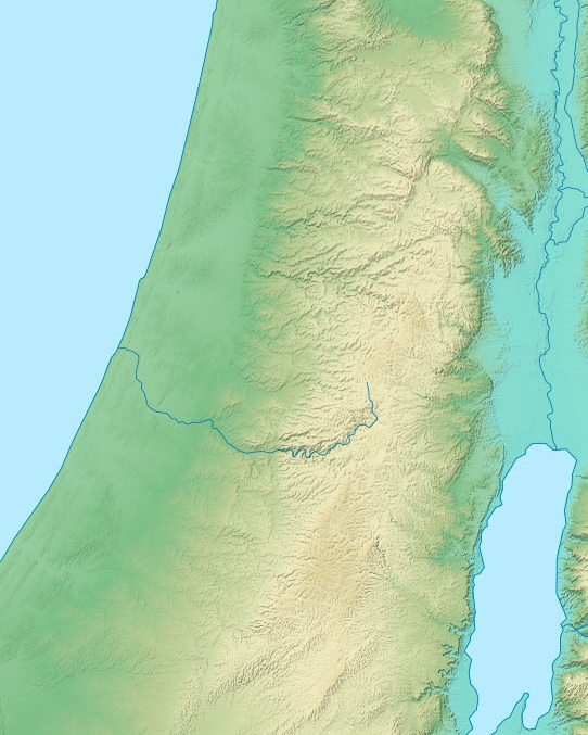
| DescriptioCentral Israel relief location map-blank.jpg |
Deutsch: Positionskarte von Israel.
English: Blank location map of Israel (no boundaries).
Français : Carte physique vierge (sans frontières) d'Israël, destinée à la géolocalisation. Equirectangular projection, N/S stretching 115 %. |
||
| Datum | |||
| Fons |
Opus proprium
|
||
| Auctor | Eric Gaba (Sting - fr:Sting). Cropped by User:Andrew Dalby | ||
| Permissio (Reusing this file) |
|
||
| Other versions |
Derivative works of this file:
|


This map was improved or created by the Wikigraphists of the Graphic Lab (fr). You can propose images to clean up, improve, create or translate as well. |
Potestas usoris
I, the copyright holder of this work, hereby publish it under the following licenses:

|
Licet hoc documentum exscribere vel distribuere vel demutare sub GNU Liberarum Litterarum Licentiae conditionibus in editione 1.2 aut in ulla editione recentiori a Fundatione Liberarum Programmationis Partium publicata; praeterquam Sectiones Immutabiles et Verba Involucra Adversa et Aversa. Licentiae exemplar praesto est in sectione intitulata GNU Free Documentation License.http://www.gnu.org/copyleft/fdl.htmlGFDLGNU Free Documentation Licensetruetrue |
This file is licensed under the Creative Commons Attribution-Share Alike 3.0 Unported license.
- Tibi licet:
- communicare – copiare, distribuere et committere hoc opus
- to remix – to adapt the work
- His condicionibus:
- attributio – You must give appropriate credit, provide a link to the license, and indicate if changes were made. You may do so in any reasonable manner, but not in any way that suggests the licensor endorses you or your use.
- aequa parte – If you remix, transform, or build upon the material, you must distribute your contributions under the same or compatible license as the original.
Tibi typum permissionis ligere licet.
Captions
Add a one-line explanation of what this file represents
Items portrayed in this file
depicts Anglica
some value
copyright status Anglica
copyrighted Anglica
source of file Anglica
original creation by uploader Anglica
Augustus 2011
coordinates of the point of view Anglica
31°24'0.000"N, 35°0'0.000"E
media type Anglica
image/jpeg
checksum Anglica
9a166f306e9647a09c8800b063d9f1d2b449470f
data size Anglica
228 202 byte
677 pixel
542 pixel
Historia fasciculi
Presso die vel tempore fasciculum videbis, sicut tunc temporis apparuit.
| Dies/Tempus | Minutio | Dimensiones | Usor | Sententia | |
|---|---|---|---|---|---|
| recentissima | 14:32, 17 Augusti 2018 | | 542 × 677 (223 chiliocteti) | Andrew Dalby | == {{int:filedesc}} == {{Location|31|24|00|N|35|00|00|E|scale:2000000}} {{Information |Description= {{de|Positionskarte von Israel.}} {{en|Blank location map of Israel (no boundaries).}} {{fr|Carte physique vierge (sans frontières) d'Israël, destinée à la géolocalisation.}}<br/> Equirectangular projection, N/S stretching 115 %.<br/> Scale of the topography: 1:800,000 (precision: 200 m)<br/> |Source={{Own}}<br/> *Sources of data:<br/> **NASA SRTM3... |
Nexus ad fasciculum
Ad hunc fasciculum nectunt:
Usus fasciculi per inceptus Vicimediorum
Quae incepta Vici fasciculo utuntur:
- Usus in ja.wikipedia.org