파일:Position_of_Southland_Region.png
From Wikipedia, the free encyclopedia
최대 해상도입니다.
Position_of_Southland_Region.png (405 × 590 픽셀, 파일 크기: 7 KB, MIME 종류: image/png)
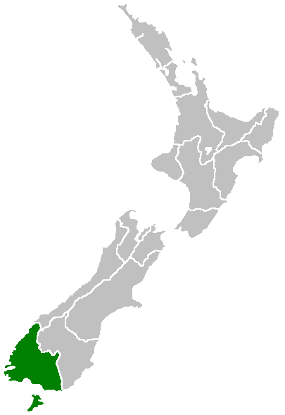
Region of New Zealand, position on the map (source:English Wiki)
| Public domainPublic domainfalsefalse |
| |
이 작품은 위키미디어 공용의 Furius 사용자가 퍼블릭 도메인으로 공개한 작품입니다. 이 공개 선언은 전세계적으로 유효합니다. 만약 저작권의 포기가 법률적으로 가능하지 않은 경우, |
설명
이 파일이 나타내는 바에 대한 한 줄 설명을 추가합니다
이 파일에 묘사된 항목
다음을 묘사함
파일 역사
날짜/시간 링크를 클릭하면 해당 시간의 파일을 볼 수 있습니다.
| 날짜/시간 | 섬네일 | 크기 | 사용자 | 설명 | |
|---|---|---|---|---|---|
| 현재 | 2005년 4월 27일 (수) 16:41 | | 405 × 590 (7 KB) | Domie~commonswiki | Region of New Zealand, position on the map (source:English Wiki) {{PD}} Category:Maps of New Zealand |
이 파일을 사용하는 문서
다음 문서 2개가 이 파일을 사용하고 있습니다:
이 파일을 사용하고 있는 모든 위키의 문서 목록
다음 위키에서 이 파일을 사용하고 있습니다:
- en.wikipedia.org에서 이 파일을 사용하고 있는 문서 목록
- Pearl Harbour, New Zealand
- Halfmoon Bay (Stewart Island)
- Mavora Lakes
- Mount Anglem
- Te Waewae Bay
- Toetoes Bay
- Oreti Beach
- South Cape / Whiore
- Anchorage Island (New Zealand)
- Gore Aerodrome
- Waipapa Point
- Mount Pye (New Zealand)
- Porpoise Bay (New Zealand)
- Drummond, New Zealand
- Template:Southland-geo-stub
- Browns, New Zealand
- Springhills
- Rakahouka
- Longbush, Southland
- Roslyn Bush
- Glencoe, New Zealand
- Waitane
- Te Tipua
- Birchwood, New Zealand
- Murihiku
- Anderson Park, Invercargill
- Great South Basin
- Waimatuku
- Pukewao
- Te Peka
- Fortification, New Zealand
- Titiroa
- Pine Bush, New Zealand
- Kapuka South
- Oteramika
- Timpanys
- Waikawa, Southland
- White Hill Wind Farm
- Lorneville, New Zealand
- Rakatu Wetlands
- Kepler Mire
- Mount Allen (Stewart Island)
- Wallace County, New Zealand
- Big Bay (New Zealand)
- Clifden Limestone Caves
- Raratoka Island
- Longwood Range
- Waimea Plain (Southland)
- Waituna Lagoon
- Lake Henry (New Zealand)
이 파일의 더 많은 사용 내역을 봅니다.