ಚಿತ್ರ:United_Arab_Emirates_relief_location_map.jpg
From Wikipedia, the free encyclopedia
ಈ ಮುನ್ನೋಟ ಗಾತ್ರ:೬೯೮ × ೬೦೦ ಪಿಕ್ಸೆಲ್ಗಳು. ಇತರ ರೆಸಲ್ಯೂಶನ್ಗಳು: ೨೭೯ × ೨೪೦ ಪಿಕ್ಸೆಲ್ಗಳು | ೫೫೯ × ೪೮೦ ಪಿಕ್ಸೆಲ್ಗಳು | ೮೯೪ × ೭೬೮ ಪಿಕ್ಸೆಲ್ಗಳು | ೧,೨೨೮ × ೧,೦೫೫ ಪಿಕ್ಸೆಲ್ಗಳು.
ಮೂಲ ಕಡತ (೧,೨೨೮ × ೧,೦೫೫ ಚಿತ್ರಬಿಂದು, ಫೈಲಿನ ಗಾತ್ರ: ೬೬೮ KB, MIME ಪ್ರಕಾರ: image/jpeg)
ಈ ಫೈಲು ವಿಕಿಮೀಡಿಯ ಕಾಮನ್ಸ್ನಲ್ಲಿ ಇರುವುದು. ಅಲ್ಲಿನ ವಿವರಣೆ ಪುಟವನ್ನೇ ಕೆಳಗೆ ತೋರಿಸಲಾಗಿದೆ. ಕಾಮನ್ಸ್ ಕೃತಿಸ್ವಾಮ್ಯತೆಯಿಂದ ಮುಕ್ತ ಫೈಲುಗಳ ಒಂದು ಆಗರ. ಅಲ್ಲಿ ನೀವೂ ಸಹಕರಿಸಬಹುದು. |
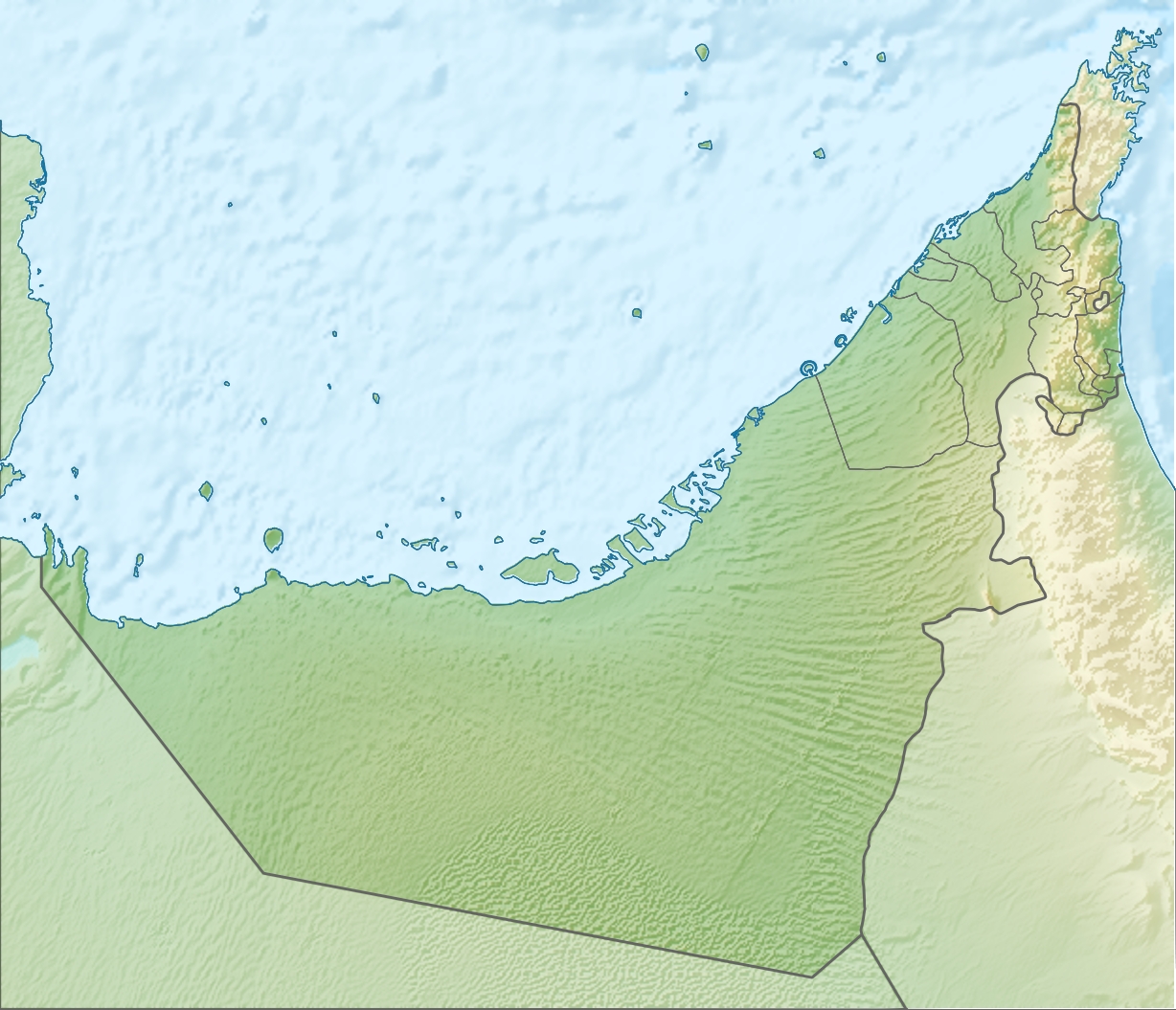
| ವಿವರUnited Arab Emirates relief location map.jpg |
Deutsch: Positionskarte der Vereinigten Arabischen Emirate Quadratische Plattkarte, N-S-Streckung 109 %. Geographische Begrenzung der Karte: * N: 26.5° N * S: 22.4° N * W: 51.4° O * O: 56.6° O English: Location map of the United Arab Emirates Equirectangular projection, N/S stretching 109 %. Geographic limits of the map: * N: 26.5° N * S: 22.4° N * W: 51.4° E * E: 56.6° E |
| ದಿನಾಂಕ | (UTC) |
| ಆಕರ | |
| ಕರ್ತೃ |
|
| ಇತರೆ ಆವೃತ್ತಿಗಳು |
Derivative works of this file: Liwa oasis location.jpg
|

| This is a retouched picture, which means that it has been digitally altered from its original version. Modifications: relief map. The original can be viewed here: United Arab Emirates location map.svg:
|
I, the copyright holder of this work, hereby publish it under the following license:
ಈ ಕಡತ ಕ್ರಿಯೇಟಿವ್ ಕಾಮನ್ಸ್ Attribution
-Share Alike 3.0 Unported ಪರವಾನಗಿ ಹೊಂದಿದೆ.
- ನೀವು ಮುಕ್ತ:
- ಹಂಚಿಕೆಗೆ – ಕೆಲಸವನ್ನು ನಕಲು ಮಾಡಲು, ವಿತರಣೆ ಮತ್ತು ಸಾಗಿಸಲು
- ರೀಮಿಕ್ಸ್ ಮಾಡಲು – ಕೆಲಸವನ್ನು ಬಳಸಿಕೊಳ್ಳಲು
- ಈ ಕೆಳಗಿನ ಷರತ್ತುಗಳಲ್ಲಿ:
- ವೈಶಿಷ್ಟ್ಯ – ನೀವು ಸೂಕ್ತವಾದ ಕ್ರೆಡಿಟ್ ನೀಡಬೇಕು, ಪರವಾನಗಿಗೆ ಲಿಂಕ್ ಅನ್ನು ಒದಗಿಸಬೇಕು ಮತ್ತು ಯಾವುದೇ ಬದಲಾವಣೆಗಳನ್ನು ಮಾಡಿದ್ದರೆ ಸೂಚಿಸಬೇಕು. ನೀವು ಯಾವುದೇ ಸಮಂಜಸವಾದ ರೀತಿಯಲ್ಲಿ ಮಾಡಬಹುದು, ಆದರೆ ಪರವಾನಗಿದಾರರು ನಿಮ್ಮನ್ನು ಅಥವಾ ನಿಮ್ಮ ಯಾವುದೇ ಬಳಕೆಯನ್ನು ಅನುಮೋದಿಸಿದಂತೆ ರೀತಿಯಲ್ಲಿ ಉಪಯೋಗಿಸಬಾರದು.
- ಇರುವುದರಂತೆಯೇ ಹಂಚು – ನೀವು ರೀಮಿಕ್ಸ್ ಮಾಡಿದರೆ, ರೂಪಾಂತರಗೊಳಿಸಿದರೆ ಅಥವಾ ವಸ್ತುವಿನ ಮೇಲೆ ನಿರ್ಮಿಸಿದರೆ, ನಿಮ್ಮ ಕೊಡುಗೆಗಳನ್ನು ನೀವು ಮೂಲದಂತೆ ಅದೇ ಅಥವಾ ಹೊಂದಾಣಿಕೆಯ ಪರವಾನಗಿ ಅಡಿಯಲ್ಲಿ ವಿತರಿಸಬೇಕು.
Original upload log
This image is a derivative work of the following images:
- File:United_Arab_Emirates_location_map.svg licensed with Cc-by-sa-3.0
- 2009-11-02T20:02:51Z NordNordWest 1228x1056 (243829 Bytes) '
- 2009-11-02T19:16:49Z NordNordWest 1228x1056 (244905 Bytes) {{int:filedesc}} {{Information |Description= {{de|Positionskarte der [[:de:Vereinigte Arabische Emirate|Vereinigten Arabischen Emirate]]}} Quadratische Plattkarte, N-S-Streckung 109 %. Geographische Begrenzung der Karte: * N:
Uploaded with derivativeFX
Captions
Add a one-line explanation of what this file represents
Items portrayed in this file
depicts ಇಂಗ್ಲಿಷ್
copyright status ಇಂಗ್ಲಿಷ್
copyrighted ಇಂಗ್ಲಿಷ್
೫ ಆಗಸ್ಟ್ 2010
ಕಡತದ ಇತಿಹಾಸ
ದಿನ/ಕಾಲ ಒತ್ತಿದರೆ ಆ ಸಮಯದಲ್ಲಿ ಈ ಕಡತದ ವಸ್ತುಸ್ಥಿತಿ ತೋರುತ್ತದೆ.
| ದಿನ/ಕಾಲ | ಕಿರುನೋಟ | ಆಯಾಮಗಳು | ಬಳಕೆದಾರ | ಟಿಪ್ಪಣಿ | |
|---|---|---|---|---|---|
| ಪ್ರಸಕ್ತ | ೧೫:೦೦, ೫ ಆಗಸ್ಟ್ ೨೦೧೦ | | ೧,೨೨೮ × ೧,೦೫೫ (೬೬೮ KB) | Uwe Dedering | {{Information |Description={{de|Positionskarte der Vereinigten Arabischen Emirate}} Quadratische Plattkarte, N-S-Streckung 109 %. Geographische Begrenzung der Karte: * N: 26.5° N * S: 22.4° N * W: 51.4° O * O: 56.6� |
ಕಡತ ಬಳಕೆ
ಈ ಕೆಳಗಿನ ಪುಟವು ಈ ಚಿತ್ರಕ್ಕೆ ಸಂಪರ್ಕ ಹೊಂದಿದೆ:
ಜಾಗತಿಕ ಕಡತ ಉಪಯೋಗ
ಈ ಕಡತವನ್ನು ಕೆಳಗಿನ ಬೇರೆ ವಿಕಿಗಳೂ ಉಪಯೋಗಿಸುತ್ತಿವೆ:
- af.wikipedia.org ಮೇಲೆ ಬಳಕೆ
- als.wikipedia.org ಮೇಲೆ ಬಳಕೆ
- ar.wikipedia.org ಮೇಲೆ ಬಳಕೆ
- ast.wikipedia.org ಮೇಲೆ ಬಳಕೆ
- av.wikipedia.org ಮೇಲೆ ಬಳಕೆ
- az.wikipedia.org ಮೇಲೆ ಬಳಕೆ
- ba.wikipedia.org ಮೇಲೆ ಬಳಕೆ
- be.wikipedia.org ಮೇಲೆ ಬಳಕೆ
- bg.wikipedia.org ಮೇಲೆ ಬಳಕೆ
- bh.wikipedia.org ಮೇಲೆ ಬಳಕೆ
- bn.wikipedia.org ಮೇಲೆ ಬಳಕೆ
- bs.wikipedia.org ಮೇಲೆ ಬಳಕೆ
- bxr.wikipedia.org ಮೇಲೆ ಬಳಕೆ
- ca.wikipedia.org ಮೇಲೆ ಬಳಕೆ
- ceb.wikipedia.org ಮೇಲೆ ಬಳಕೆ
ಈ ಫೈಲ್ನ ಹೆಚ್ಚು ಜಾಗತಿಕ ಬಳಕೆಯನ್ನು ವೀಕ್ಷಿಸಿ.
ಮೇಲ್ದರ್ಜೆ ಮಾಹಿತಿ
ಈ ಫೈಲಿನಲ್ಲಿ ಹೆಚ್ಚಿನ ಮಾಹಿತಿ ಇದೆ. ಪ್ರಾಯಶಃ ಫೈಲನ್ನು ಸೃಷ್ಟಿಸಲು ಉಪಯೋಗಿಸಲಾದ ಡಿಜಿಟಲ್ ಕ್ಯಾಮೆರದಿಂದ ಅಥವ ಸ್ಕ್ಯಾನರ್ ಇಂದ ಈ ಮಾಹಿತಿ ಸೇರಿಸಲ್ಪಟ್ಟಿದೆ.
ಮೂಲಪ್ರತಿಯಿಂದ ಈ ಫೈಲು ಮಾರ್ಪಾಟಾಗಿದ್ದಲ್ಲಿ, ಈ ಮಾಹಿತಿ ಮಾರ್ಪಟ್ಟ ಫೈಲಿನ ವಿವರಗಳಿಗೆ ಸರಿಯಾಗಿ ಹೊಂದದೆ ಇರಬಹುದು.
| _error | ೦ |
|---|
"https://kn.wikipedia.org/wiki/ಚಿತ್ರ:United_Arab_Emirates_relief_location_map.jpg" ಇಂದ ಪಡೆಯಲ್ಪಟ್ಟಿದೆ