File:BlankMap-World-2005.png
From Wikipedia, the free encyclopedia
Afaylu aneṣli (1 425 × 625 pixel, tiddi n ufaylu: 18 KB/KO, anaw n MIME: image/png)
Afaylu agi yusad seg : Wikimedia Commons. Ahat yeseqdec deg isenfaṛen nniḍen. Aglam-is ɣef asebter n aglam ye beqqeḍ ddaw-agi.

|
Cette image (de type locator map) devrait être recréée dans un format vectoriel, en tant que fichier SVG. Cela offrirait plusieurs avantages : voir Commons:Media for cleanup pour plus d'informations. Si une version SVG de cette image est déjà disponible, merci de bien vouloir l'envoyer. Après cela, remplacez ce modèle par {{vector version available|nouveau nom d'image.svg}}.
|
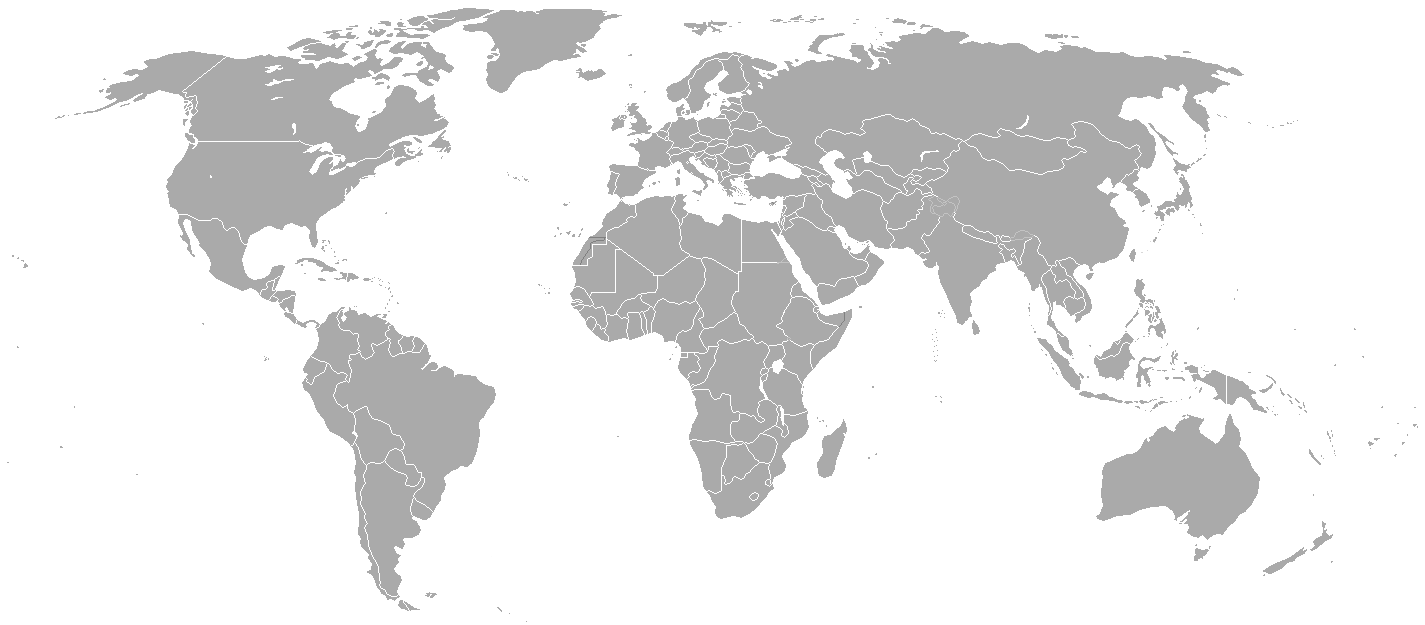
Blank political map of the world showing 2005 borders (i.e. before the independence of Montenegro and Kosovo). Based on Image:BlankMap-World.png; as it is PD, this is too.
This map is accurate for the period between May 20, 2002 (East Timor independent from Indonesia), and June 3, 2006 (Montenegro independent from Serbia and Montenegro) — notwithstanding the renaming of Yugoslavia to Serbia and Montenegro on February 3, 2003.
Previous map: Image:BlankMap-World-2000.png
| Blank maps of the world for historical use | |
| pre-1800 | |
|
19th century | |
|
20th century | |
|
1902 · 1912 · 1914 · WWI · Aug 1918 · 1920 · 1921 · 1924 · 1926 · 1935 · 1937 · Mar 1938 · Oct 1938 · Mar 1939 · Oct 1939 · WWII · Nov 1942 · May 1945 · 1957 · 1959 · 1962 · 1968 · 1970 · 1985 · 1990 · 1993 | |
|
21st century | |
| (this template: · view · discuss ) | |
.PNG)
| Public domainPublic domainfalsefalse |
| Cette œuvre a été placée dans le domaine public par son auteur, Hoshie. Ceci s’applique dans le monde entier. Dans certains pays, ceci peut ne pas être possible ; dans ce cas : |
derivative works
Derivative works of this file:
Légendes
Éléments décrits dans ce fichier
igellem
licence Tafransist
type MIME Tafransist
image/png
somme de contrôle Tafransist
c54a0193133ed2eabc4ca1eaf52fbaa8879a5f34
taille des données Tafransist
18 141 octet
hauteur Tafransist
625 pixel
largeur Tafransist
1 425 pixel
Amazray n ufaylu
Senned ɣef yiwen azmez d usrag iwakken ad ẓṛeḍ afaylu aken yella deg imir nni.
| Azemz/Ssaɛa | Aqmamaḍ | Iseggiwen | Amseqdac | Awennit | |
|---|---|---|---|---|---|
| Lux a | 15 Mayyu 2015 à 21:35 | | 1 425 × 625 (18 KB/KO) | RokerHRO | optipng -o7 -i0 → 68.85% decrease |
| 30 Meɣres 2010 à 22:38 |  | 1 425 × 625 (57 KB/KO) | Spesh531 | changes the same as modern one | |
| 12 Yebrir 2008 à 02:27 |  | 1 425 × 625 (49 KB/KO) | Hoshie | Blank map of the world showing 2005 borders (i.e. before the independence of Montenegro and Kosovo). Based off Image:BlankMap-World.png; as it is PD, this is too. This map is accurite for the period between May 20, 2002 (East Timor independent from |
Aseqdec n ufaylu
Ulaḥedd seg isebtar sɛan azday ar afaylu-agi.
Aseqdec n ufaylu amatu
Iwikiyen-agi-nniḍen seqdacen afaylu-agi:
- Aseqdec ɣef fr.wikipedia.org
Adferisefka
Afaylu agi, yesɛa tilɣa tisutay, ahat d-tamsaknewt id ernan tilɣa agi. Ma afaylu yebeddel seg addad-is amezwaru, ahat kra n tilɣa ur zemrent ara ad illint d-timekdant s-ufaylu amiran.
| Tabadut taglawit | 37,78 pt/cm |
|---|---|
| Tabadut taratakt | 37,78 pt/cm |