ファイル:Scranton-Wilkes-Barre_Metropolitan_Area.png
ウィキペディア フリーな encyclopedia
高解像度版はありません。
Scranton-Wilkes-Barre_Metropolitan_Area.png (565 × 361 ピクセル、ファイルサイズ: 28キロバイト、MIME タイプ: image/png)
ウィキメディア・コモンズのファイルページにある説明を、以下に表示します。
|
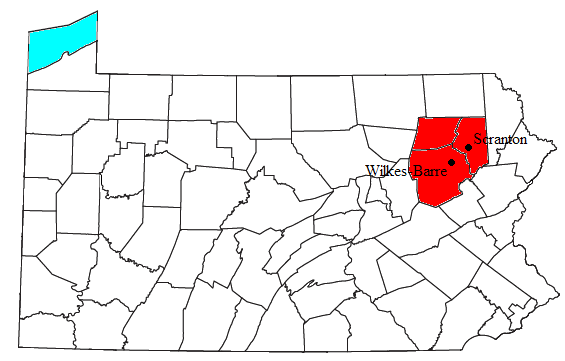
| 解説Scranton-Wilkes-Barre Metropolitan Area.png | Locator map of the Scranton-Wilkes-Barre Metropolitan Statistical Area in the northeastern part of the U.S. state of Pennsylvania. | |||
| 日付 | ||||
| 原典 | Modified from this United States Census Bureau file, based on this Census definitions list. | |||
| 作者 | User:Nyttend | |||
| 許可 (ファイルの再利用) |
US Government work is public domain, and my work is
|
キャプション
このファイルの内容を1行で記述してください
このファイルに描写されている項目
題材
26 7 2008
ファイルの履歴
過去の版のファイルを表示するには、その版の日時をクリックしてください。
| 日付と時刻 | サムネイル | 寸法 | 利用者 | コメント | |
|---|---|---|---|---|---|
| 現在の版 | 2010年2月10日 (水) 05:01 | | 565 × 361 (28キロバイト) | Yassie | added locations of cities of Scranton and Wilkes-Barre |
| 2008年7月30日 (水) 19:32 |  | 565 × 361 (27キロバイト) | Nyttend | {{Information |Description=Locator map of the {{w|Wyoming Valley|Scranton-Wilkes-Barre Metropolitan Statistical Area}} in the northeastern part of the {{w|U.S. state}} of {{w|Pennsylvania}}. |Source=Modified from [http://www2.census.gov/geo/maps/general_r |
ファイルの使用状況
以下のページがこのファイルを使用しています:
グローバルなファイル使用状況
以下に挙げる他のウィキがこの画像を使っています:
- arz.wikipedia.org での使用状況
- en.wikipedia.org での使用状況
- es.wikipedia.org での使用状況
- sv.wikipedia.org での使用状況
- ur.wikipedia.org での使用状況
- www.wikidata.org での使用状況