Loading AI tools
モジュール:Location map/data/Grenadaはグレナダの正距円筒図法地図でオーバーレイのマーカー・ラベルを表示するのに使用する地点図のLuaモジュールです。マーカーは既定値の地図や同じような地図画像において緯度と経度の座標に基いて置かれます。
| 名称 | グレナダ | |||
|---|---|---|---|---|
| 境界の経緯 | ||||
| 12.55 | ||||
| -61.9 | ←↕→ | -61.25 | ||
| 11.95 | ||||
| 地図の中心 | 北緯12.25度 西経61.575度 | |||
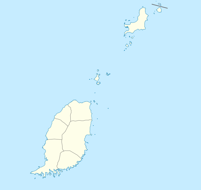
| 画像 | Grenada location map.svg | |||
 | ||||
| 画像1 | Grenada relief location map.jpg | |||
 | ||||

次のテンプレートで"Grenada"というパラメータを使用します:
{{Location map | Grenada | ...}}{{Location map many | Grenada | ...}}{{Location map+ | Grenada | ...}}{{Location map~ | Grenada | ...}}
name = グレナダ- モジュール名は地図説明文の既定値になります
image = Grenada location map.svg- 既定値の地図画像で"Image:"や"File:"は指定しません。
image1 = Grenada relief location map.jpg- 代替地図画像で、通常は地形図をreliefかAlternativeMapというパラメータで指定して表示します。
top = 12.55
bottom = 11.95- 地図最南端の緯度を十進角で表記します。
left = -61.9- 地図最西端の経度を十進角で表記します。
right = -61.25- 地図最東端の経度を十進角で表記します。
image1 (Grenada relief location map.jpg)で定義された地図は{{Location map}}、{{Location map many}}、{{Location map+}}といったテンプレートの「relief」か「AlternativeMap」のパラメータを使って表示できます。
これら2つのパラメータは以下の使用例で示しています。さらなる使用例は次のテンプレートにあります。:
Location map, using default map (image)
{{Location map | Grenada
| width   = 250
| lat_deg = 12.05
| lon_deg = -61.75
| label   = St. George's
}}
Location mapテンプレート
- Template:Location map - 緯度と経度を使って1つのマークとラベルを表示します。
- Template:Location map many - 9つまでのマークとラベルを表示します。
- Template:Location map+ - 無制限にマークとラベルを表示できます。
Wikiwand in your browser!
Seamless Wikipedia browsing. On steroids.
Every time you click a link to Wikipedia, Wiktionary or Wikiquote in your browser's search results, it will show the modern Wikiwand interface.
Wikiwand extension is a five stars, simple, with minimum permission required to keep your browsing private, safe and transparent.
